Historic Map - Fort Wayne, IN - 1868
Description
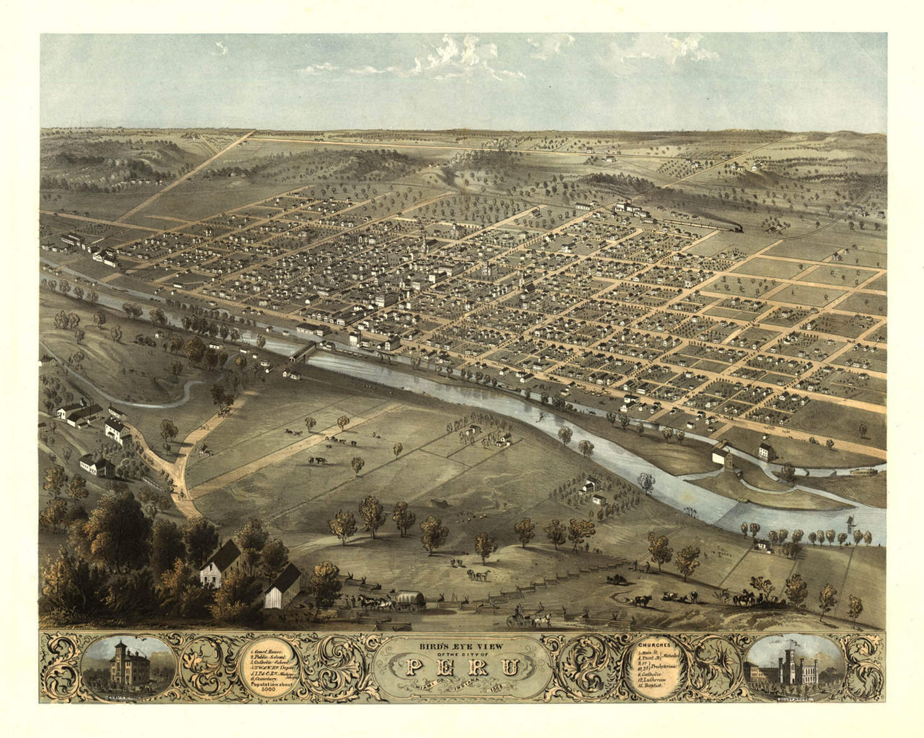
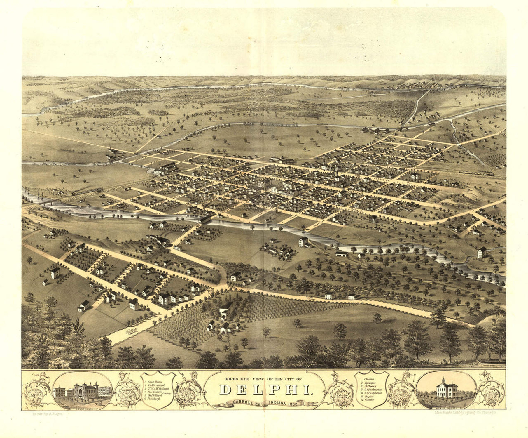
Bird's eye view of the city of Fort Wayne, Indiana 1868. Drawn by A. Ruger.
Historic map reprint of Fort Wayne, Indiana, published in 1868. Named in honor of the United States general who defeated the Miami tribe that had settled at the confluence of the Maumee, St. Joseph and St. Mary's Rivers, Fort Wayne was known as the Miami village "Kekionga", and was the traditional capital of the Miami Nation. A French outpost was established at Kekionga by fur trader's beginning in the 1680's and the French built "Fort Miamis" there in 1697. Ceded to the British Empire following the French and Indian War, Kekionga was taken back from the British by the Miami tribe as part of the Native American led "Pontiac's Rebellion" in 1763, and remained under Miami control for more than thirty years. George Washington ordered the United States Army to secure Indiana for the United States in 1790 and it was General "Mad" Anthony Wayne who led the final expedition to remove the Indian settlement in order to secure the Wabash-Erie portage. A new fort was built at the three rivers and named Fort Wayne in honor of the general. The city of Fort Wayne was officially incorporated in 1840.
This map captures Fort Wayne as it appeared just three years after the Civil War. The 44th Regiment Indiana Infantry was organized and mustered in in Fort Wayne, Indiana in November, 1861.
Detailed illustrations inset in the lower margin of the following buildings:
Features numbered references to the following locations:
- Fort Wayne College
- Court House
- High School
- Fort Wayne (as it appeared in 1825)
- Concordia College.
Features numbered references to the following locations:
- Court House
- District Schools
- Ft. Wayne College
- Market Houses
- P. Ft. W. & C. R. Depot
- P. Ft. W. & C. R. R. Machine Shops
- T. W. & W. R. R. Depot
- T. W. & W. R. R. Machine Shop
- Baptist Church
- Episcopal Church
- Jewish Church
- English Church
- St. John's Lutheran Church
- St. Paul's Lutheran Church High School
- Berry St Methodist Church
- Wayne St. Methodist Church
- German Methodist Church
- Mission Methodist Church
- 1st Presbyterian Church
- 2d Presbyterian Church
- German Reformed Church
- Cathedral Catholic Church
- St. Mary's Catholic Church
- St. Paul's Catholic Church
- St. Joseph Academy
- Sisters of Providence
- St. Paul School
- St. Mary's School
- German Lutheran Church
Materials
Archive Paper

Premium fine art paper that provides accurate color reproduction with high-contrast, high-resolution print output and maximum image permanence. A high-quality print ready for framing.
More
- Museum quality paper for high-quality fine art.
- Ultra smooth, neutral white matte finish.
- Heavy-weight 230 gsm, 9.5 mil thickness.
- Printed with pigment inks for longer print life and enhanced fade resistance.
- Pigment based Canon LUCIA inks provide smooth tones and rich colors in fine, precise detail.

Made In The USA

School Purchase Orders


