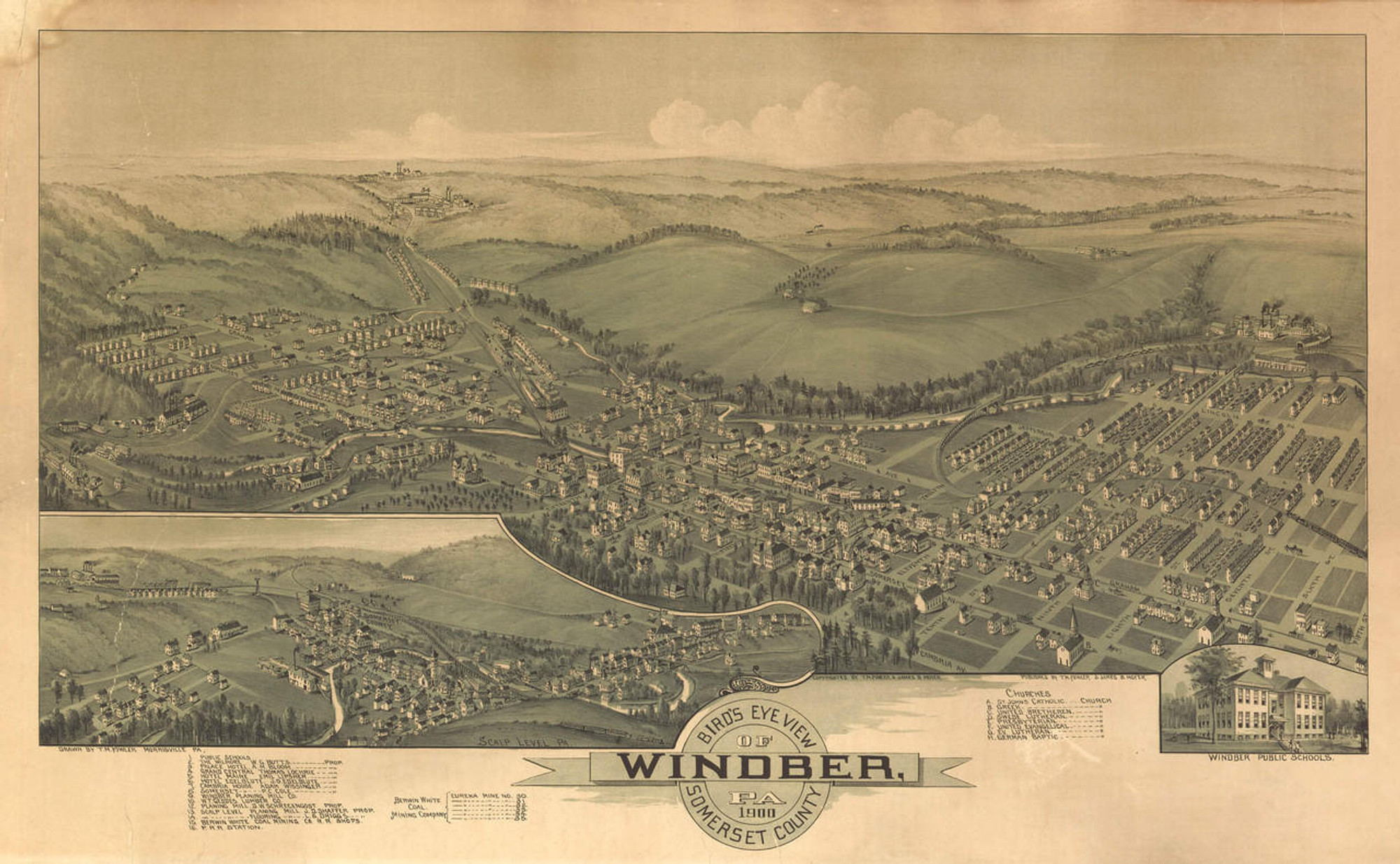
The reproduction view of Beaver, Pennsylvania was drawn by Thaddeus Mortimer Fowler and published by T. M. Fowler & James B. Moyer in 1900. Beaver was established in the late 1700's on an expansive plateau on the north bank of the Ohio River near the mouth of Big Beaver Creek. The site had been used during the American Revolutionary War as the frontier Fort McIntosh.
In the 1800's, Beaver was considered a healthful community due to the area���s valued mineral springs. Beaver quickly constructed a public water works that utilized the water from the spring. A pumping station in town operated until 1898, when a new station was built on top of the hill at Bridgewater that was able to supply all of Beaver.
Beaver Academy was established in the early 1800's as an institution for the instruction of useful arts, sciences and literature. Other courses were added such as Greek and Latin languages, English grammar and geography. An Act was approved in 1855 that allowed trustees of the academy to take possession of Beaver���s town square and land around it for new buildings and campus grounds. The last academy building built during this period was erected in 1863. This building, centrally located came to be known as the ���Old Academy Building���. After the college���s use this building lingered for nearly 25 years boarded up and regularly vandalized in the center of town until being demolished in the year of this map���s publishing. Beaver Female Seminary was chartered in 1853 with patronage of the Methodist Episcopal Church. In 1895, the school���s buildings were destroyed by fire. The buildings were soon after rebuilt, larger and more modern.
In 1900 Beaver���s population was 2,348. The postmaster was Michael Weyand.
The panoramic map from 1900 shows clearly labeled streets, buildings, shipping traffic and railroad lines.
Features numbered & lettered references to the following locations:
1. Court House.
2. Jail.
3. Beaver College.
4. Public School.
5. Beaver Hotel. John H. Ewing, Proprietor.
6. Park View Hotel. J. S. Stauffer, Proprietor. H. Sepp Jr., Manager.
7. Beaver Mfg. Co.
8. Planing Mill. John E. Harton, Proprietor.
9. Pump Station.
10. P. & L. E. R. R. Station.
12. C. & P. R. R. Station.
13. Beaver Carriage & Wagon Works.
A. First Presbyterian Church.
B. Methodist Episcopal Church.
C. United Presbyterian Church.
D. First Christian Church. |


