Historic Railroad Map of the Midwest - 1873
Description
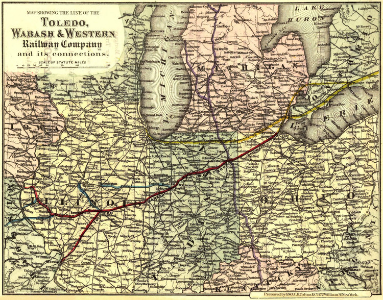
Toledo, Ohio was founded along the west bank of the Maumee River in 1833. Toledo was an important railroad junction town in the 1800's. By the late 1800's, the town became a prominent center for several railroad companies.
St. Louis was founded south of the confluence of the Mississippi and Missouri rivers. The first road and railway bridge to cross the Mississippi River, Eads Bridge, was completed in 1874. The bridge, named after designer James B. Eads, was the longest arch bridge in the world at that time with a length of 1,964 meters. It was the first time true steel had been used in bridgework. The ribbed steel arch spans were supported by cantilever methods and used pneumatic caissons. The new technology was tested by a borrowed circus elephant before a cheering crowd on June 14, 1874 and two weeks later the bridge was running trains back and forth between St. Louis and East St. Louis, Illinois.
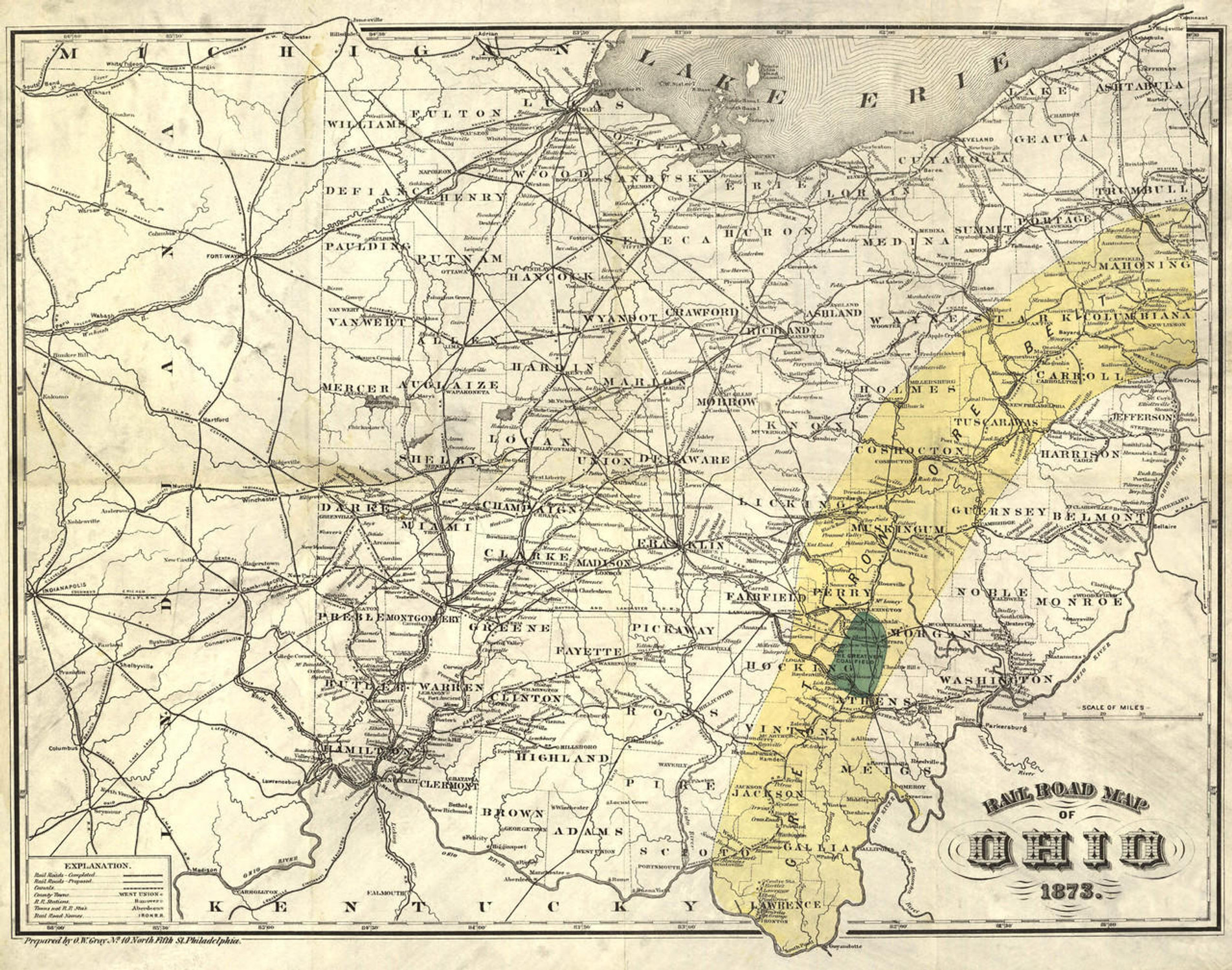
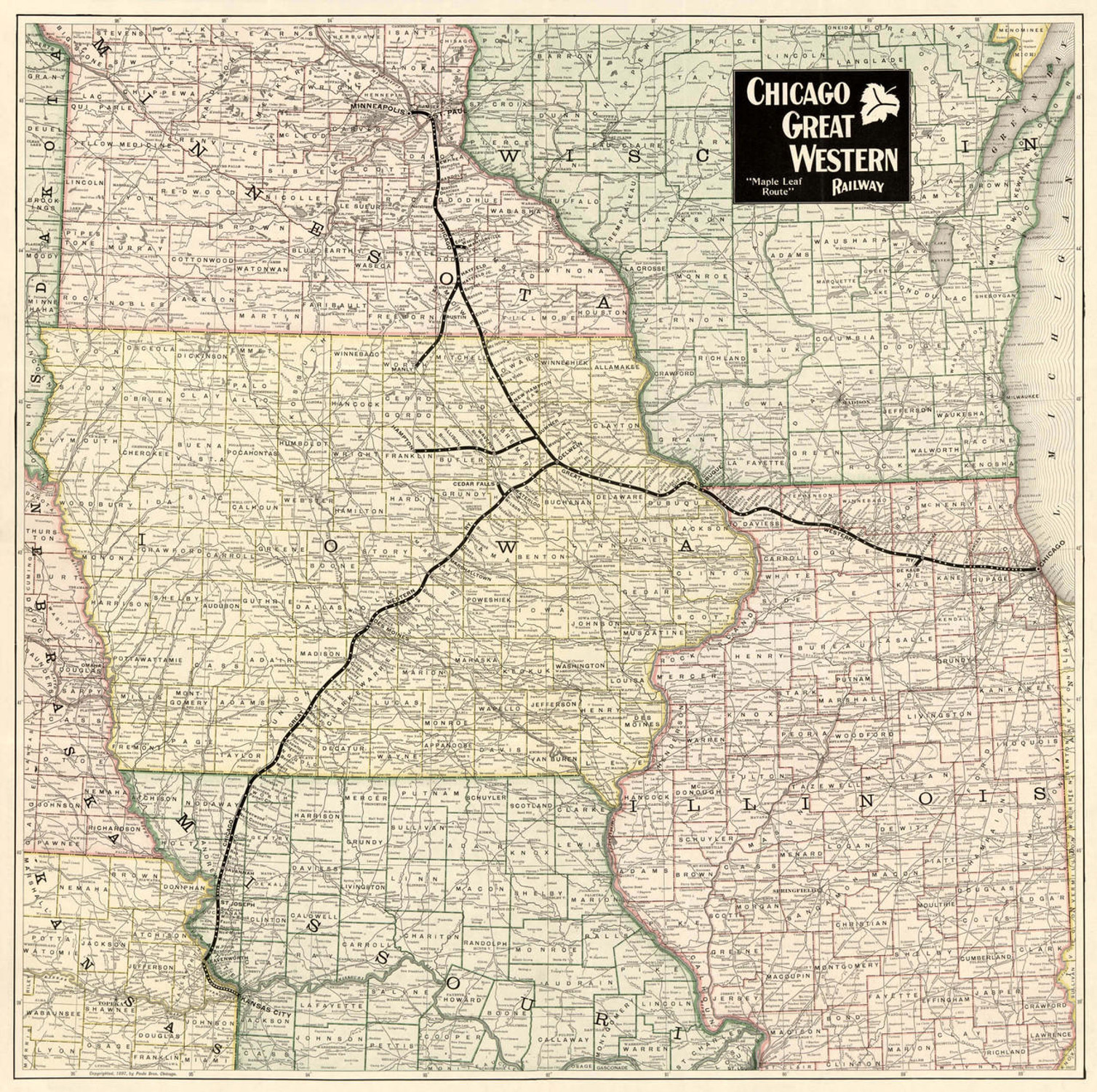
This general map of the Midwestern United States shows cities and towns, waterways, and the railroad network of the 1870's. The map accompanied an 1873 advertisement issued by the Toledo, Wabash & Western Railroad Company for the purchase of seven percent bonds. The bonds were issued for the purchase of steel rails.
"The directors of this Trunk Line, between Toledo and St. Louis, comprising with its branches over 600 miles of completed road, have decided, in order to accommodate the great increase of traffic, to relay the entire line with steel rails. The steady increase of business over this line will be rapidly and greatly augmented by its connection with the Canada Southern Railroad, rendering the substitution of steel rails a necessity. The net earnings for the year 1871 and 1872, after paying interest on the mortgage debt of the company, were largely in excess of the amount necessary to pay the interest on the mortgage. The road has no floating debt. All the proceeds of these bonds go to the permanent improvement of the property, experience having proved that by substituting steel for iron rails on roads doing so heavy a traffic, the saving alone, without any allowance for increase of business, is sufficient to pay off at least four times the amount of this mortgage before maturity. The advantage of employing steel rails is so great that all our Trunk Lines are adopting them to the exclusion of iron ones. The large earnings of this railroad, with its future prospects, make this bond an undoubted security."
The principal and interest on these bonds was to be paid in gold coin.
Materials
Archive Paper

Premium fine art paper that provides accurate color reproduction with high-contrast, high-resolution print output and maximum image permanence. A high-quality print ready for framing.
More
- Museum quality paper for high-quality fine art.
- Ultra smooth, neutral white matte finish.
- Heavy-weight 230 gsm, 9.5 mil thickness.
- Printed with pigment inks for longer print life and enhanced fade resistance.
- Pigment based Canon LUCIA inks provide smooth tones and rich colors in fine, precise detail.

Made In The USA

School Purchase Orders


