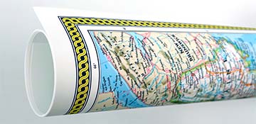
The adjoining boroughs of Alburtis and Lockridge, Pennsylvania are depicted in this panoramic map drawn and published by T.M. Fowler of Morrisville, PA, whose name appears on the map.
The orderly bustle of everyday life in 1893 is shown with carriages and delivery wagons in motion on the clearly labeled streets. Smokestacks with plumes of smoke rising from the Lockridge Furnace and Thomas Iron Company are also clearly depicted, with busy railroad activity coming and going. The borough of Lockridge was named for this company when it was founded in 1867-68.
The slightly earlier borough of Alburtis was founded when the East branch of the Reading Railroad came through in 1857-58. The name Alburtis was taken from a railroad executive in charge. The East Penn Railroad Station is clear in the foreground of the map.
Front Street, Main Street, Chestnut Street, Second Street, Third Street and Blackberry Street are prominently labeled.
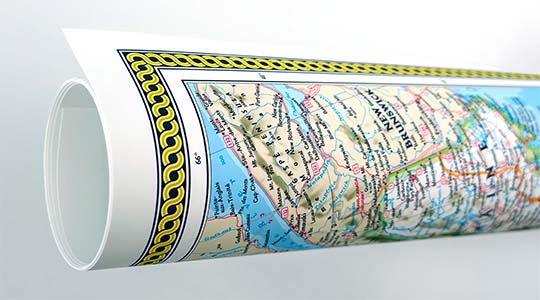
This beautiful map provides a look at the beginnings of the city.
Complete reference list below.
Features numbered references to the following locations:
1. Public School
2. Presbyterian Church
3. Lutheran & Reformed, Chapel
4. Lockridge Furnace, Thomas Iron Co. Pros.
5. Hensinger House, A.D. Kachline, Pros.
6. American House, J.A. Ettinger, Pros.
7. Eagle Hotel, J.F. Knedler, Pros.
8. Carriage Works, Thomas Shuler, Pros.
9. East Penn Railroad Station Thaddeus Mortimer Fowler (1842-1922)
Born in Lowell, Massachusetts in December, 1842, Thaddeus Fowler became a runaway at age 15. During the Civil War, he joined the 21st Regiment of the New York Volunteers at Elmira, New York, in May, 1861. Wounded at the Second Battle of Bull Run, he received an honorable discharge and left the army on crutches, having refused amputation. Following his discharge, he visited army camps, making tintypes of soldiers before settling in Madison, Wisconsin in 1864, where he worked with his uncle, J. M. Fowler, a photographer. In 1870, Fowler established his own panoramic map firm, creating panoramic maps of many of the surrounding communities. He also worked for J.J. Stoner, the famous publisher, during the 1870s. Around 1880, Fowler moved to northern New Jersey, where he continued to produce panoramic views of cities and towns. In April, 1885, he moved to Morrisville, Pennsylvania, which became his headquarters for the next twenty-five years. Fowler produced over 400 panoramic views over the course of his career.
Associated with other panoramic artists at various times throughout his career, his association with James B. Moyer, of Myerstown, Pennsylvania, from 1889 to 1902 was particularly productive. He also published under the imprints Fowler & Kelly, Fowler & Albert E. Downs, and Fowler & Browning. Fowler created maps for the artist and publisher, Oakley H. Bailey, who marketed his prints as “aero views”.
In 1918, while working for Oakley H. Bailey, a trademark that featured airplanes and a dirigible circling the city was meant to give the impression that aerial views had been obtained by their use, but caused some citizens of Allentown, Pennsylvania to accuse Fowler of being a German spy during WWI. He was actually jailed due to this suspicion, until members of his immediate family drove from Morrisville to identify their father, who was not charged. Thaddeus Fowler died in his eightieth year, 1922, following a fall on the icy streets of Middletown, New York, where he was working on another panoramic view of the city. His career spanned the entire period of panoramic map production, a distinction shared only by his close friend, Oakley H. Bailey.