WorldMapsOnline.com
Your source for map murals, educational maps, wall map posters, removable wallpaper murals, custom wall murals, historical map prints


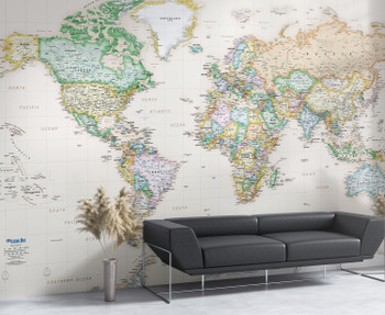
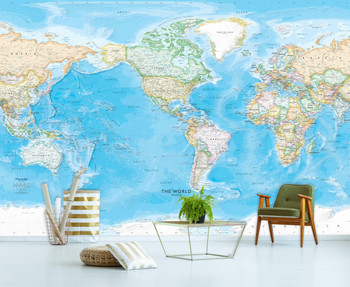
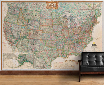


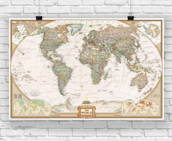


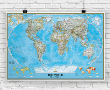
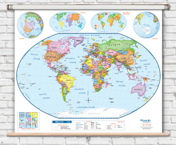
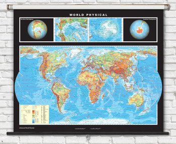
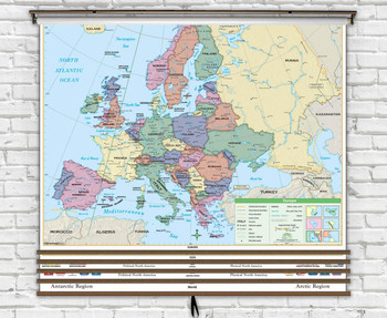

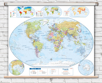
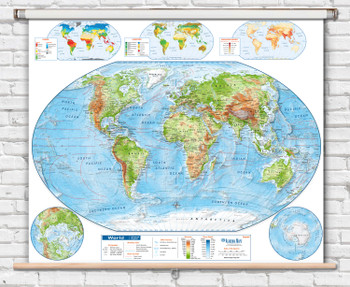
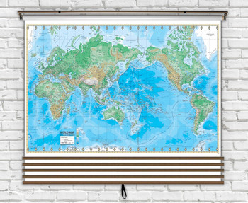
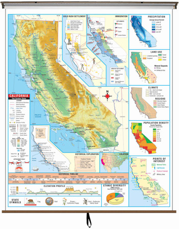


A World of Map Resources
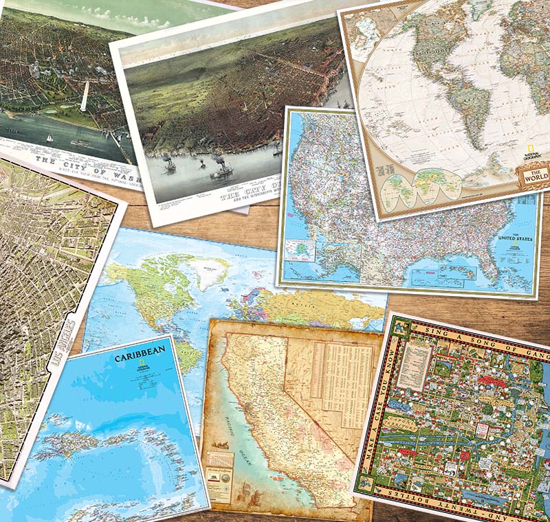
WorldMapsOnline offers a deep catalog of the highest quality maps for sale, from publishers all over the world. Our maps are printed on demand using only the best materials and inks here in Seattle, WA.
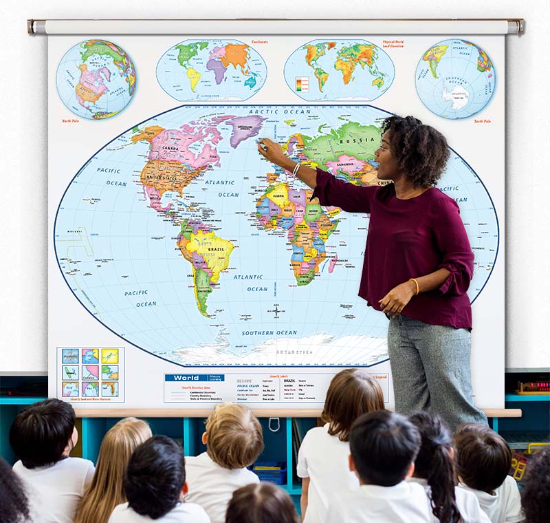
Our team of map experts can help you find the perfect map for your needs. Whether it’s a high quality world map poster, pull-down classroom map, or a large scale custom map mural, our team can help you bring your vision to reality.