

North America Satellite Image Map - Topography & Bathymetry
Starting at $29.00


An ultra high quality Australia satellite image map print available with no text labels or in a version featuring countries, national capital cities, and major bodies of water labeled.
This is a stunningly detailed satellite image map print depicting the continent of Oceania which is comprised of Australia, New Zealand, and Melanesia. The map is depicted in a Lambert Azimuthal Equal Area projection and is the most accurate and up to date map of its kind. Both land cover and bathymetric data are illustrated in great detail on this map using a multitude of various satellite data sources. Land imagery is based on data collected by NASA's MODIS satellite instrumentation. Ocean bathymetric information is derived from the GEBCO (General Bathymetric Chart of the Oceans).
A tremendous amount of detail of this continent is visible allowing even the smallest of details to be perceived, such as the relatively small Uluru (Ayres Rock) in central Australia. The international border between West Papua, Indonesia and Papua New Guinea represents the continental border between Oceania and Asia. This map also features a 10° latitude, longitude grid. International borders and Australian states are represented in red outlines.
Each map is produced as a detailed museum quality archive print. This special printing process is known as Giclee (zhee-CLAY) and is commonly used to produce very high quality fine art prints. Printed on Archive Paper, Luster Photo Paper, Matte Canvas or Metal.
Map print ships rolled up in a durable cardboard tube. Frame is not included.
Premium fine art paper that provides accurate color reproduction with high-contrast, high-resolution print output and maximum image permanence. A high-quality print ready for framing.
A premium semi-gloss photo paper with a subtle texture that produces a vivid, richly detailed print. This material results in an exquisitely detailed giclee print of substantially higher quality than a standard poster.
A versatile peel & stick fabric material with repositionable self-adhesive backing. A polyester canvas material that can be used multiple times without damaging walls or leaving a residue.
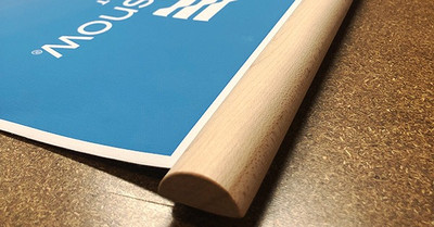
A canvas giclee print is mounted to wooden hanging rails placed along the top and bottom of the map. Ready to hang on the wall using the attached hanging cord. Wood rails feature a natural finish.
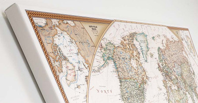
A high quality canvas giclee print is hand stretched over a sturdy wood frame. Printed on demand and handcrafted in Seattle, WA. The canvas gallery wrap serves as a stunning piece of art ready to hang on your wall.


