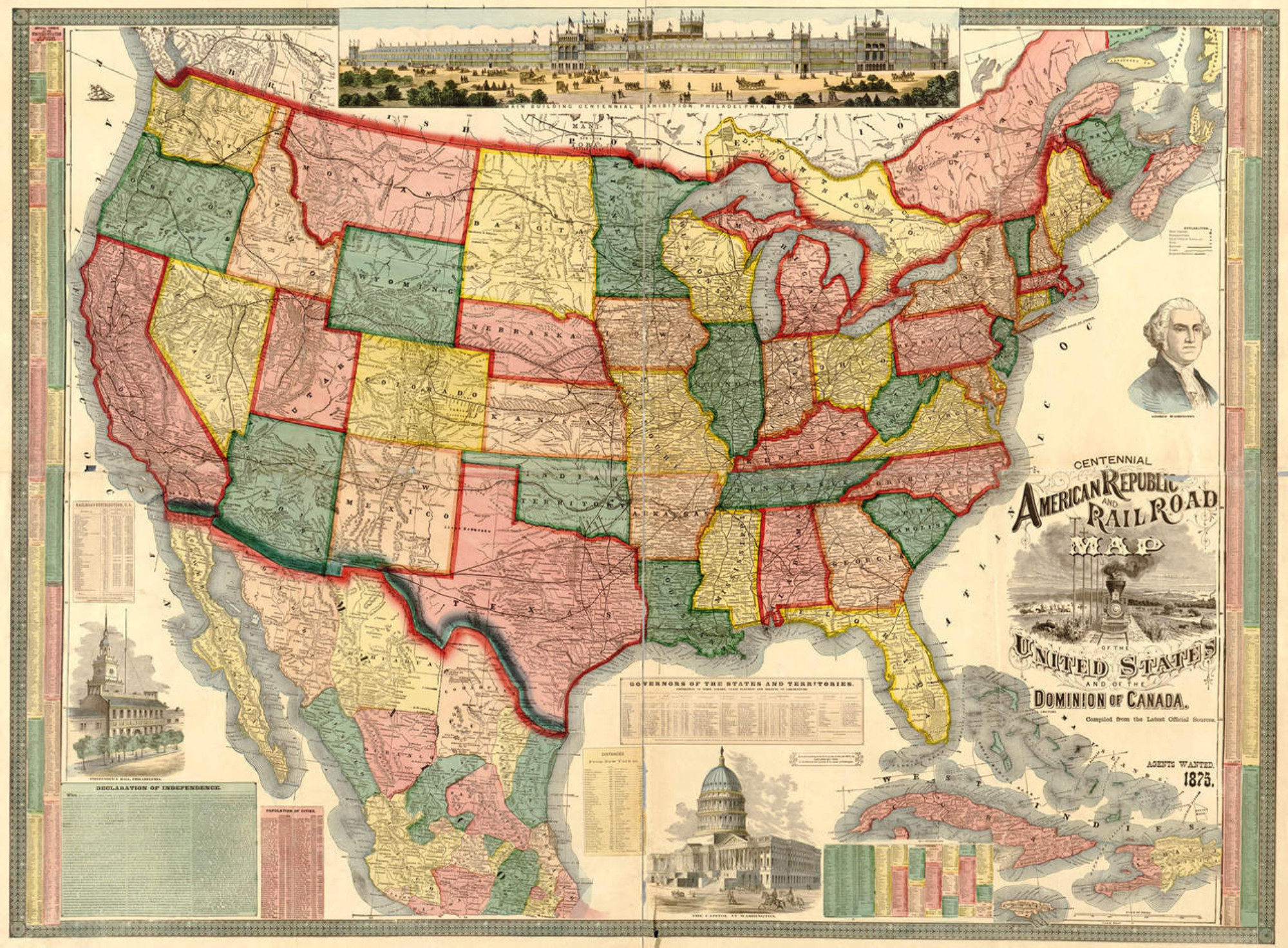
Historic Railroad Map of the United States East Coast - 1895
Description
Map of the Seaboard Air Line and its principle connections north, south, east and west, published in 1895 by Rand, McNally & Co.
This map of the eastern United States shows relief by hachures, drainage, cities and towns. Labeled railroad lines contain many of the stops.
Border declarations by the Seaboard Air-Line Railroad state:
"The shortest, most direct, most enjoyable, most popular route by railway, or by steamship and railway, from all northern and eastern points to Weldon, Durham, Raleigh, Southern Pines, Hamlet, Monroe, Athens, Atlanta, and via New Orleans to Los Angeles, San Francisco, and all Pacific Coast points."
"Fast Double Daily Service via “Atlanta Special,” solid vestibuled train with pullman buffet sleepers and day coaches (no extra fare) between Washington (via Weldon) and Atlanta, “Congressional Limited,” all pullman parlor and dining cars, New York to Washington. ***Double Daily Service also via “S.A.L. Express,” solid train of pullman sleepers and day coaches between Portsmouth and Atlanta. Irreproachable equipment and service. Steel track. Iron bridges. Prompt connections. Traverses the “Golden Belt” of North Carolina (where the finest Bright Leaf Tobacco in the world is raised) and the famous “Piedmont Section” of Three Great States, whose wonderfully prolific soil, under genial climatic conditions, offers the greatest agricultural possibilities with widest range of products; cotton, tobacco, the cereals and grasses, all varieties of fruits and grapes, rich metalliferous ores and boundless forest wealth. Thousands of acres for home seekers at nominal prices."
Materials
Archive Paper

Premium fine art paper that provides accurate color reproduction with high-contrast, high-resolution print output and maximum image permanence. A high-quality print ready for framing.
More
- Museum quality paper for high-quality fine art.
- Ultra smooth, neutral white matte finish.
- Heavy-weight 230 gsm, 9.5 mil thickness.
- Printed with pigment inks for longer print life and enhanced fade resistance.
- Pigment based Canon LUCIA inks provide smooth tones and rich colors in fine, precise detail.

Made In The USA

School Purchase Orders


