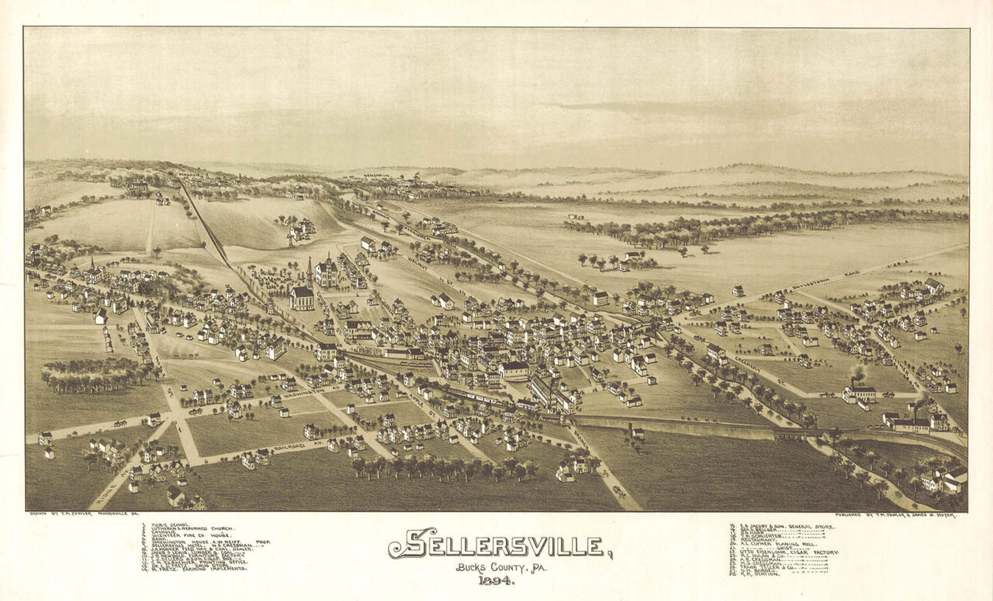
Historic Map - Columbia, PA - 1894

Code:
1WA-CO-1894
Starting at $34.00

clear
Adding to cart… The item has been added

Description

View of Columbia, Lancaster County, P.A., 1894 / drawn & published by T. M. Fowler.

This panoramic print of Columbia, Pennsylvania was drawn and published by Thaddeus Mortimer Fowler in 1894. Columbia is a borough on the eastern shore of the Susquehanna River, founded by Quakers who established a ferry crossing there. Then called Wright���s Ferry after land and ferry owner John Wright, the valuable ferry line enabled trade to cross easily to communities on the west side of the river.  Labeled Columbia in 1788 in an attempt to become the nation���s capital, the community was left with the name only after a close vote by the U. S. Congress.

A covered bridge replaced the ferry in 1814. The bridge was considered the longest covered bridge in the world. Storms washed out the bridge in 1832 but it was replaced two years later. Just upstream, another covered bridge was completed in 1834 that was even longer. The 1832 bridge was burned by locals and state militia during the civil war to prevent it from falling into enemy hands. The bridge shown here is its replacement constructed in 1868. This new bridge was destroyed by the hurricane force winds of 1896.

The community���s main economic interests in 1894 were its many anthracite iron blast furnaces. Clock making was also quite prevalent in Columbia.

The map from 1894 includes Columbia���s roads, buildings, bridge, and railroad line. It features an inset illustration captioned "View of East Columbia".


Features numbered & lettered references to the following locations:

  1. Public Schools.
  2. Opera House.
  3. Electric Light & Power Co.
  4. Columbia Lace Mills.
  5. Columbia Iron Co. Works.
  6. Susquehanna Iron Co.
  7. Gas Works.
  8. Columbia Wagon Works.
  9. Columbia Flint Co.
10. Planing Mill.
11. Water Power Works.
12. Columbia Grey Iron Co.
13. The Keeley Stove Co.
14. Silk Mill. The Ashley & Baily Co.
15. Rolling Mill.
16. Furnace.
17. P. R. R. Station.
18. C. & R. R. R. Station.
 A. Presbyterian Church.
 B. St. Paul���s Episcopal Church.
 C. St. Paul���s Ev. Lutheran Church.
 D. St. John���s Lutheran Church.
 E. Salem German Lutheran Church.
 F. M. E. Church.
  I. Cookman M. E. Church.
 J. Church of God.
 K. Trinity Reformed Church.
 L. Evangelical Mission.
 M. Holy Trinity German Catholic Church.
 N. St. Peter���s Catholic Church.
 O. Mt. Zion A. M. E. Church.
 P. First African Baptist Church.

Materials

Archive Paper

Archive Paper

Premium fine art paper that provides accurate color reproduction with high-contrast, high-resolution print output and maximum image permanence. A high-quality print ready for framing.

More
  • Museum quality paper for high-quality fine art.
  • Ultra smooth, neutral white matte finish.
  • Heavy-weight 230 gsm, 9.5 mil thickness.
  • Printed with pigment inks for longer print life and enhanced fade resistance.
  • Pigment based Canon LUCIA inks provide smooth tones and rich colors in fine, precise detail.
USA map icon

Made In The USA

Our wall map products are designed and printed on demand by our small team in Seattle, WA using high quality materials and fine art giclee printing.
Purchase order icon

School Purchase Orders

We gladly accept purchase orders from schools and other government institutions. Learn more here
Icon of plane flying

Worldwide Shipping

International shipping options are available. Free shipping within the contiguous USA

Questions about Historic Map - Columbia, PA - 1894?

World Maps Online is here to help you with all of your map needs. If you need help finding the right product, we're happy to answer questions you have. to send us a message on live chat.