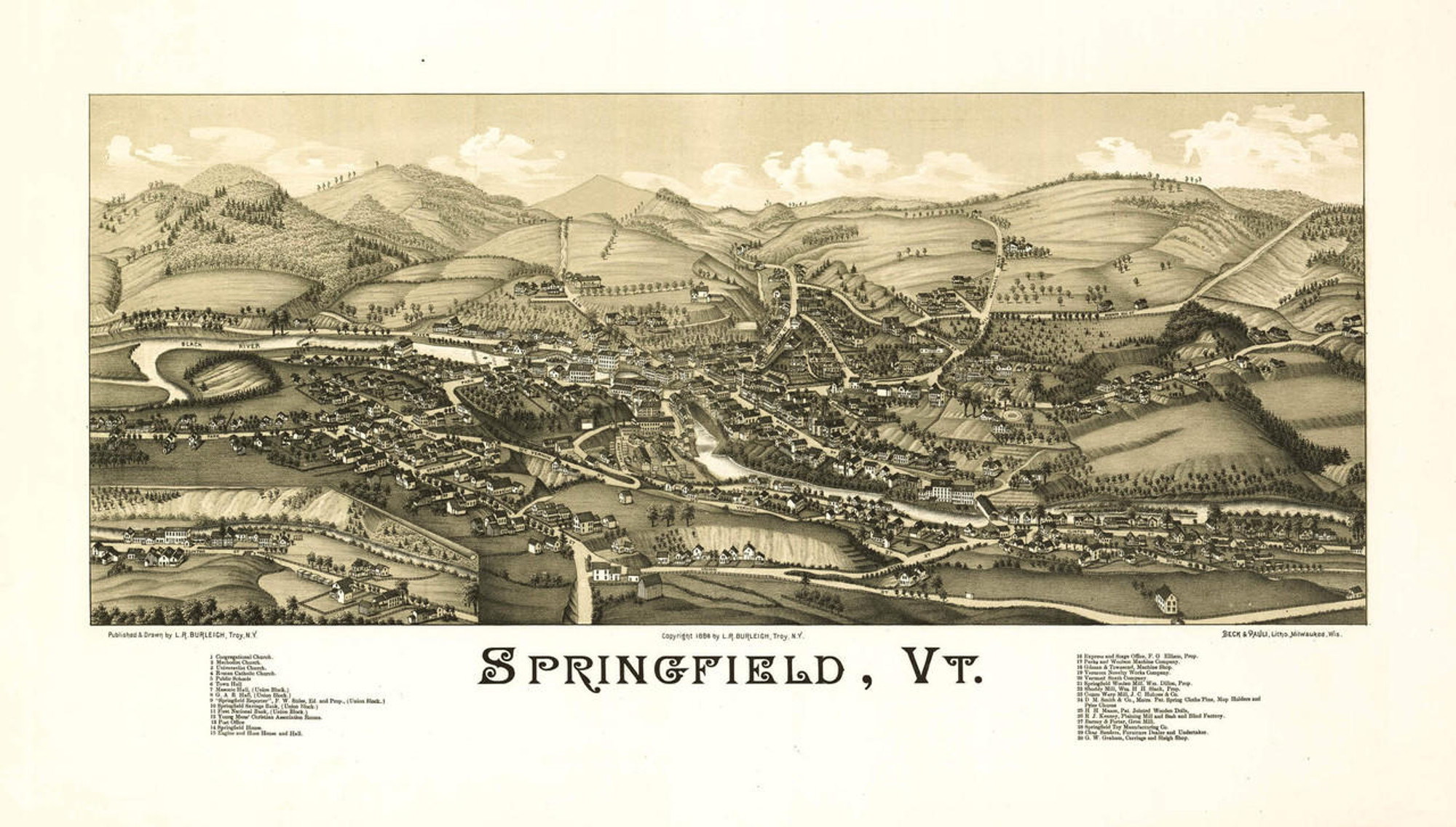
Historic Map - Brattleboro, Vermont - 1886

Code:
1W-VT-BR-1886
Starting at $34.00

clear
Adding to cart… The item has been added

Description

Panoramic map of Brattleboro, VT, Windham County.  Published by Burleigh Lithographers, 1886.

Once inhabited by the Sokoki  band of the Abenaki tribe, the area surrounding the confluence of the West River and the Connecticut River was called Wantastiquet, meaning "river which leads to the west".

Although Fort Dummer was built here in 1724 to defend the Massachusetts Bay Colonies during the Dummer War, the Dummer War ended the following year and the fort was converted to a trading post.  When King George's War broke out in 1744, the fort was revived and a small band of troops remained there until 1750.  The township was chartered with the name Brattleborough in 1753 by Governor Benning Wentworth, choosing to name it after Colonel William Brattle, Jr., of Boston, a principal proprietor.   As the hostilities between the French ceased, settlement became more feasible.

Stephen Greenleaf opened the first store in Vermont in the east village in 1771.  A bridge across the Connecticut River was built in 1804.  Whetstone Falls provided abundant water power, which led to the development of mills of all types.  The pure spring water that was discovered near Whetstone Brook led to the development of the third "water cure" facility in the country in 1844.  In 1888, the town was renamed Brattleboro.

Features numbered & lettered references to the following locations:

Universalist Church.
Methodist Church.
Baptist Church.
Episcopal Church.
Congregational Church.
Unitarian Church.
Roman Catholic Church.
Town Hall.
Public School Building.
The Brooks Library Building.
The Vermont Asylum for the Insane.
The Brooks House.
The American House.
Railway Station.
Estey Organ Co.'s Manufactory.
Brattleboro Sewing Machine Manufactory.
Smith & Hunt, Children's Carriage Manufactory.
E. P. Carpenter Co., Organ Manufactory.
Highland Park & Reservoir.

Materials

Archive Paper

Archive Paper

Premium fine art paper that provides accurate color reproduction with high-contrast, high-resolution print output and maximum image permanence. A high-quality print ready for framing.

More
  • Museum quality paper for high-quality fine art.
  • Ultra smooth, neutral white matte finish.
  • Heavy-weight 230 gsm, 9.5 mil thickness.
  • Printed with pigment inks for longer print life and enhanced fade resistance.
  • Pigment based Canon LUCIA inks provide smooth tones and rich colors in fine, precise detail.
USA map icon

Made In The USA

Our wall map products are designed and printed on demand by our small team in Seattle, WA using high quality materials and fine art giclee printing.
Purchase order icon

School Purchase Orders

We gladly accept purchase orders from schools and other government institutions. Learn more here
Icon of plane flying

Worldwide Shipping

International shipping options are available. Free shipping within the contiguous USA

Questions about Historic Map - Brattleboro, Vermont - 1886?

World Maps Online is here to help you with all of your map needs. If you need help finding the right product, we're happy to answer questions you have. to send us a message on live chat.