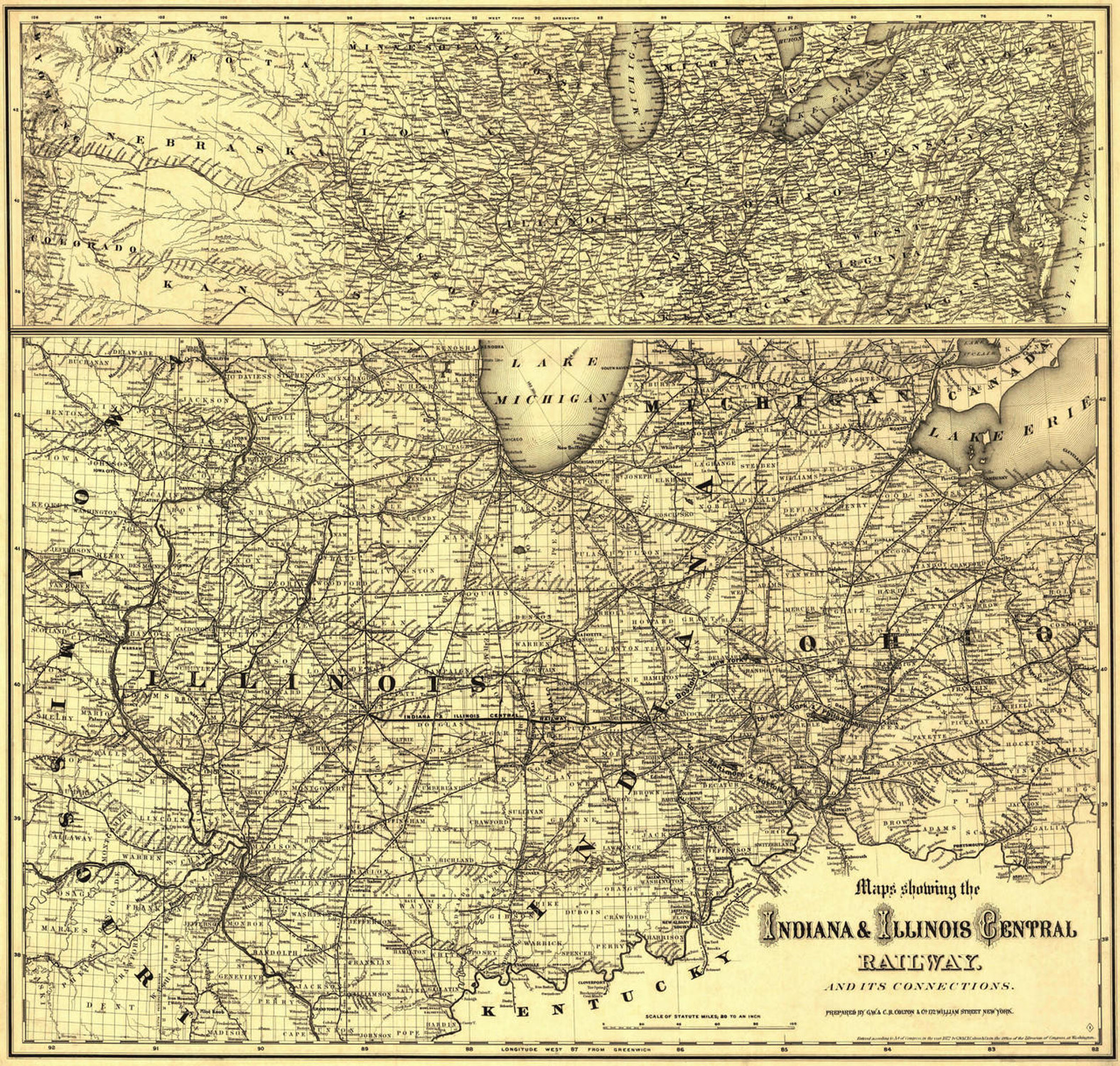
This railroad and express map showing the midwestern United States was published in 1872 by G.W. & C.B. Colton & Co. It shows drainage, cities, towns, townships, counties, stations, and the railroad network with distances noted. Displayed are portions of Minnesota, Wisconsin, Michigan, Iowa, Nebraska, Illinois, Kentucky, Missouri, and Kansas.
In early October of 1871 Chicago suffered its greatest disaster as fire consumed a huge swathe of the downtown business district. The fire, of unknown origin, was aided by heavy winds, an over-use of wood in the building of city structures and the seasonal drought. These conditions enabled flames to fly from building to building very quickly. Hundreds were killed and even more were temporarily displaced by the massive conflagration. The Great Fire slowed Chicago’s growth, but the town emerged from the ashes with an improved infrastructure and fresh water system. By 1872 Chicago was receiving worldwide attention as a transportation center and attracting business endeavors of all kinds.


