Historic Railroad Map of the Western United States - 1877
Description
Williams' New Trans-Continental Map of the Pacific Railroad and routes of overland travel to Colorado, Nebraska, the Black Hills, Utah, Idaho, Nevada, Montana, California and the Pacific Coast.
This relief map of the western United States was published in 1877 by Henry T. Williams for the “Pacific Tourist and Trans-Continental Guide”, the only guide officially endorsed by the Pacific Railroad companies. In the guide, it is advertised thusly:
From Chicago, west, emigrants are carried on the regular first class express trains, and make the same time as passengers who hold first-class tickets. The cars that are used by emigrants are good, clean, well-lighted coaches, with upholstered seats and backs, and are as good as the coaches furnished by many roads to first-class passengers.
West of Omaha emigrants use the Union and Central Pacific railroads, which use comfortable coaches, nicely cushioned, and far better in every way than the emigrant cars of the Atlantic Seaboard railroads. The passengers are not crowded in the cars, but plenty of room is given. Sleeping cars do not accompany these trains, and the only sleeping facilities offered are those that may be found in any passenger coach. The time of these trains is about twelve miles per hour, which making the time from Omaha to San Francisco by emigrant trains about eight to nine days, gives passengers by them ample time to see the country as they move through it.
Emigrants can get meals at the regular “eating-stations” along the line, or they can carry cooked provisions with them, and buy coffee or tea at the eating houses and eat on the train. Emigrants’ movables can go on the same train taken by emigrants from Omaha, as through freight cars are attached to emigrant trains. Neither second class passengers nor emigrants can have Pullman sleeping car accommodations, and in this lies about all the restrictions that are placed on them. The difference in time between express and emigrant trains from Omaha to San Francisco is about five days.”
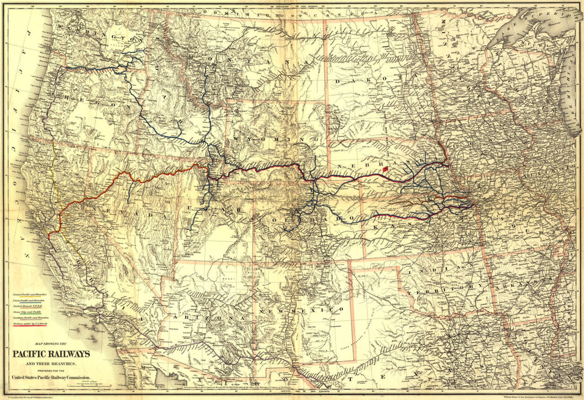
The map shows cities, towns, forts, boundaries, waterways, mountains, and stage and railroad routes, emphasizing the main line.
Materials
Archive Paper

Premium fine art paper that provides accurate color reproduction with high-contrast, high-resolution print output and maximum image permanence. A high-quality print ready for framing.
More
- Museum quality paper for high-quality fine art.
- Ultra smooth, neutral white matte finish.
- Heavy-weight 230 gsm, 9.5 mil thickness.
- Printed with pigment inks for longer print life and enhanced fade resistance.
- Pigment based Canon LUCIA inks provide smooth tones and rich colors in fine, precise detail.

Made In The USA

School Purchase Orders


