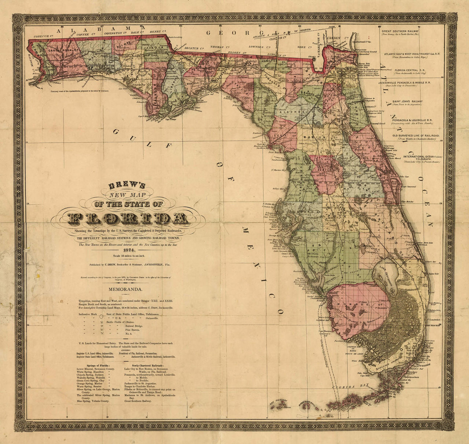
This beautiful map of Florida was originally produced roughly two years after the United States acquired the territory from Spain, with the signing of the Adams-Onis Treaty. On March 30th, 1822, the region was officially recognized as a US territory. 3 years later, the territory was admitted to the United States, becoming the 27th state in the Union.
The state has become one of the top tourist destinations in the country, and is home to numerous theme parks. The state is also the home of the Kennedy Space Center, from which all manned space flights have been launched.
Map Text:
"The Atlantic Coast of East Florida, as far as the settlements behind Key Biscayne, including all the rivers up to the head of boat navigation are from recent actual surveys, almost entirely by the author. The River St. Mary was draughted by M.Z. Kingsley; Nassau River & Dunns Lake by M. Turnbull, and St. John's River from the observations of Mess. P. Mitchell & Z. Kingsley, and from those of the author, corrected by an inspection of Captain Le Conte's valuable survey of that stream. The details of the interior, east of the River Suwanee, are laid down form late surveys, sketches and drawings make by Mess. N.A. Ware & P. Mitchell and by the author, from the best information of several Georgia & Florida gentlemen, and also from the accounts of the Chief Indians, the former having afforded descriptions of the extreme northern parts of the peninsula and the latter details of the southern and western parts, which were confirmed by the pilots and fishermen resident. The Georgia Line was furnished from the Office of the Surveyor General of that State, and the Alabama Line was taken from Ellicotts official survey. The Florida Keys and the coast of West Florida to the head of Vacasassy Bay are compiled from the surveys made by M. Gault, under the orders of the British Government which have never been published in this country but are well known to the Officers of the United States Navy as being most scrupulously accurate. No other published work has been used. Detached accurate manuscript maps of various places have been consulted & the interior of West Florida & the western coast of the peninsula, were chiefly arranged from the manuscript maps of Florida, now in the Topographical Bureau at Washington, constructed by the late Joseph Purcell Esq. of South Carolina & Cap. Wilson of the British Engineers father of Major Wilson Chief Engineer of that State, which are considered to be of the first authority."


