


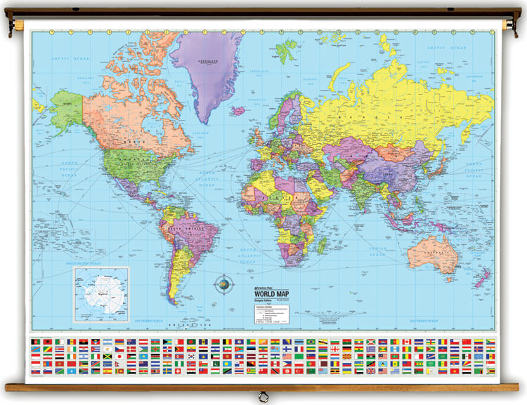
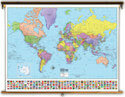
 World Political
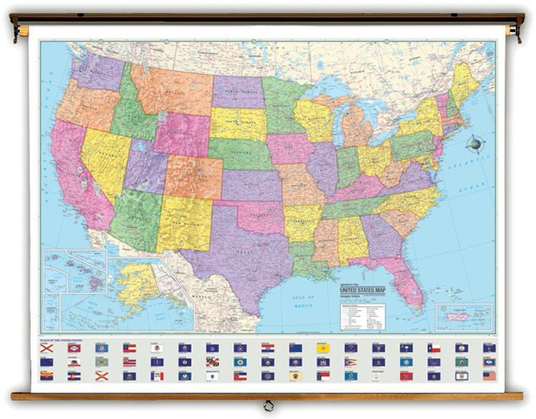 United States Political
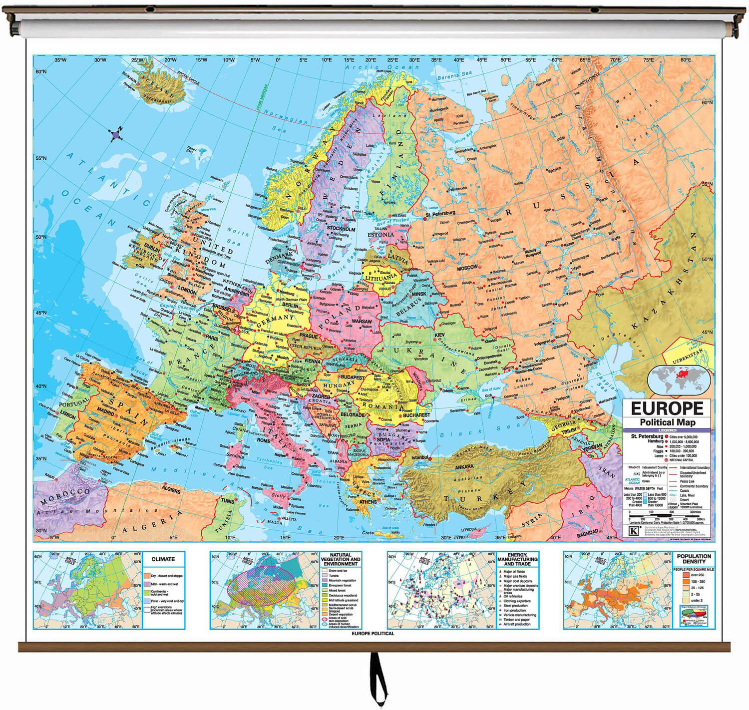 Europe Political
 Asia Political
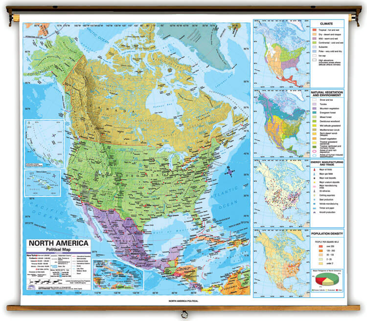 North America Political
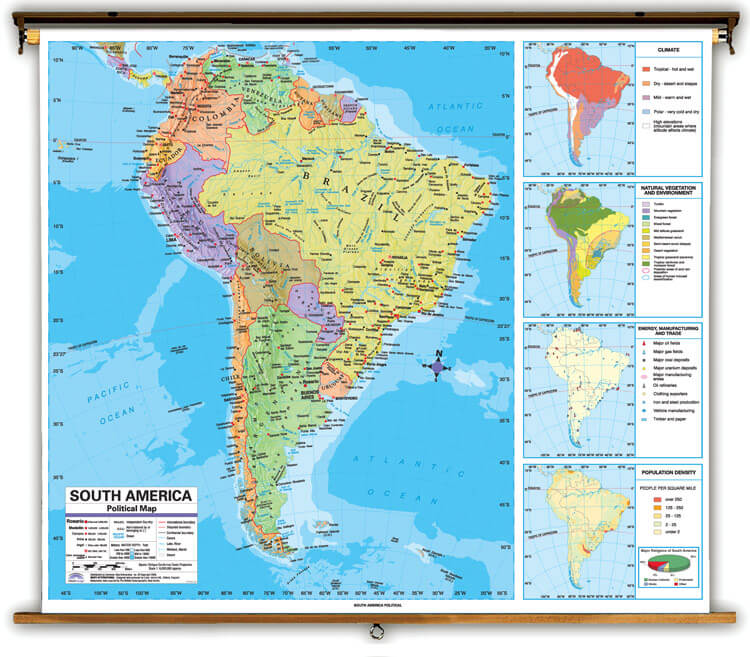 South America Political
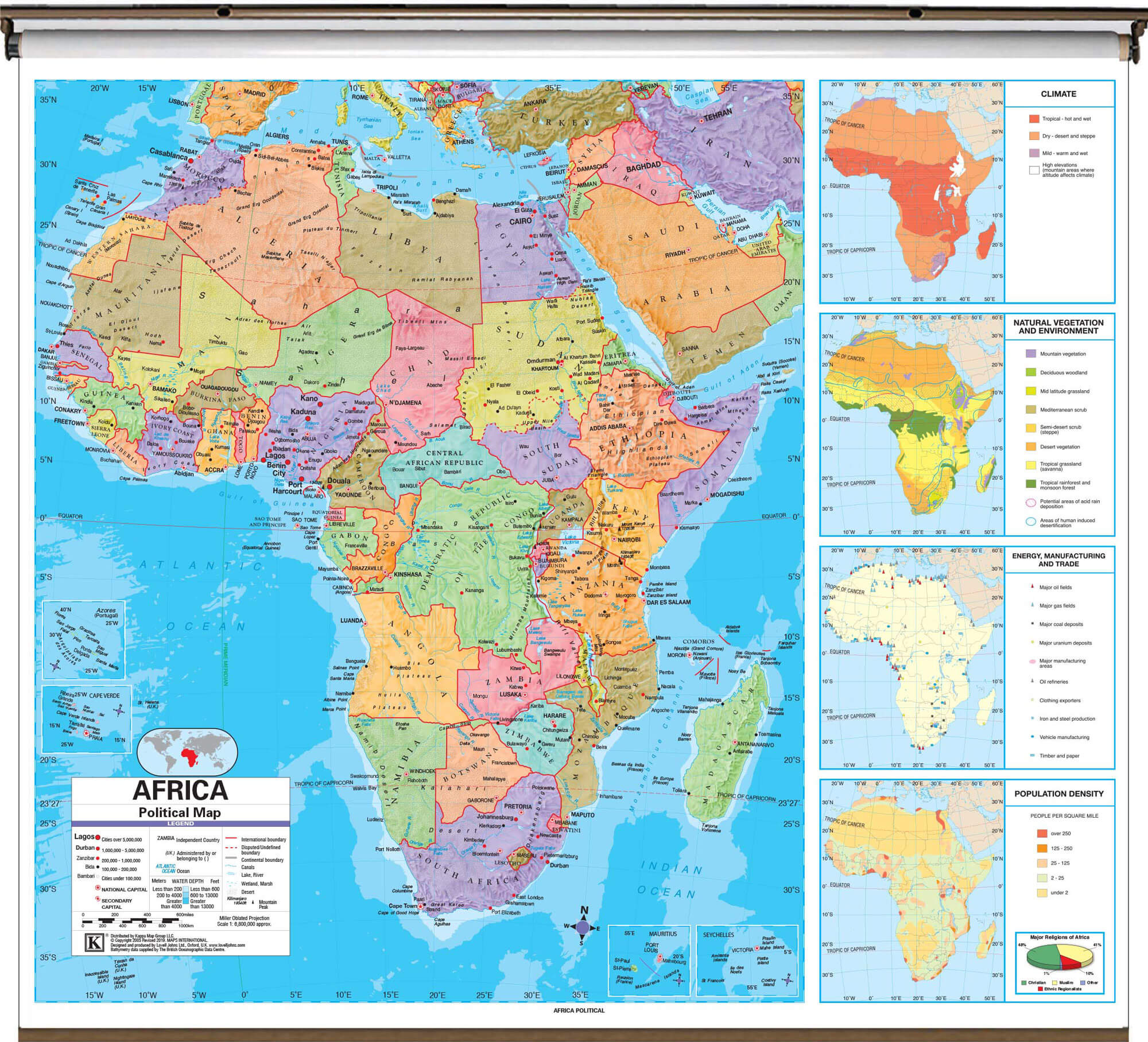 Africa Political
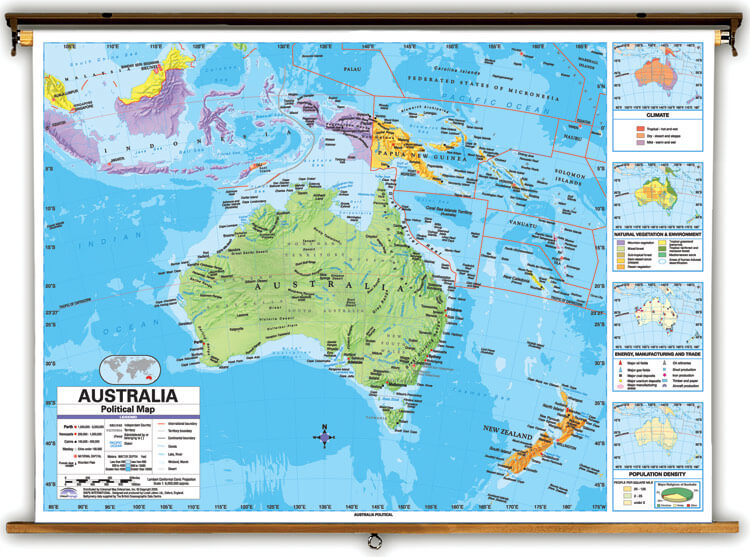 Australia Political
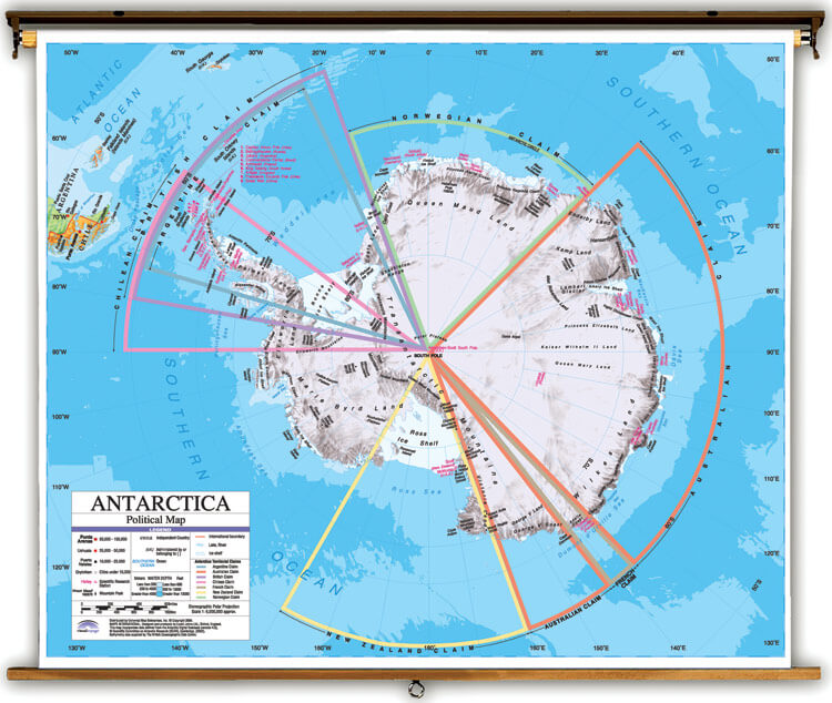 Antarctica Political
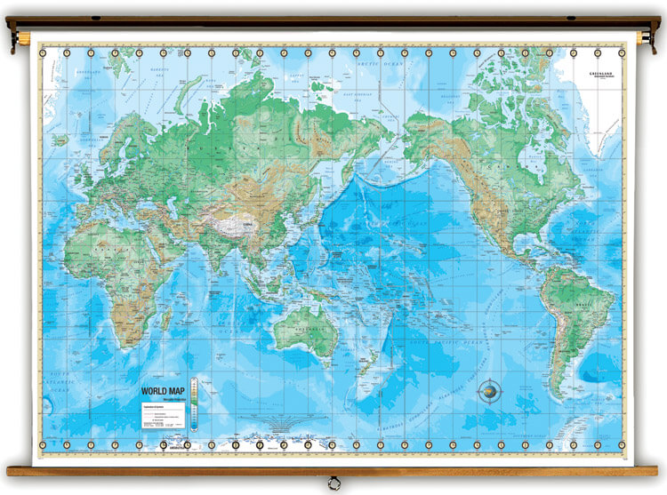 World Physical
 United States Physical
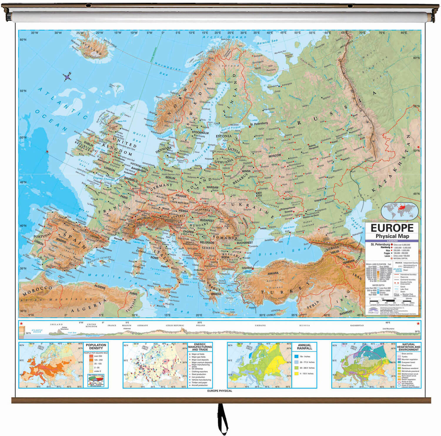 Europe Physical
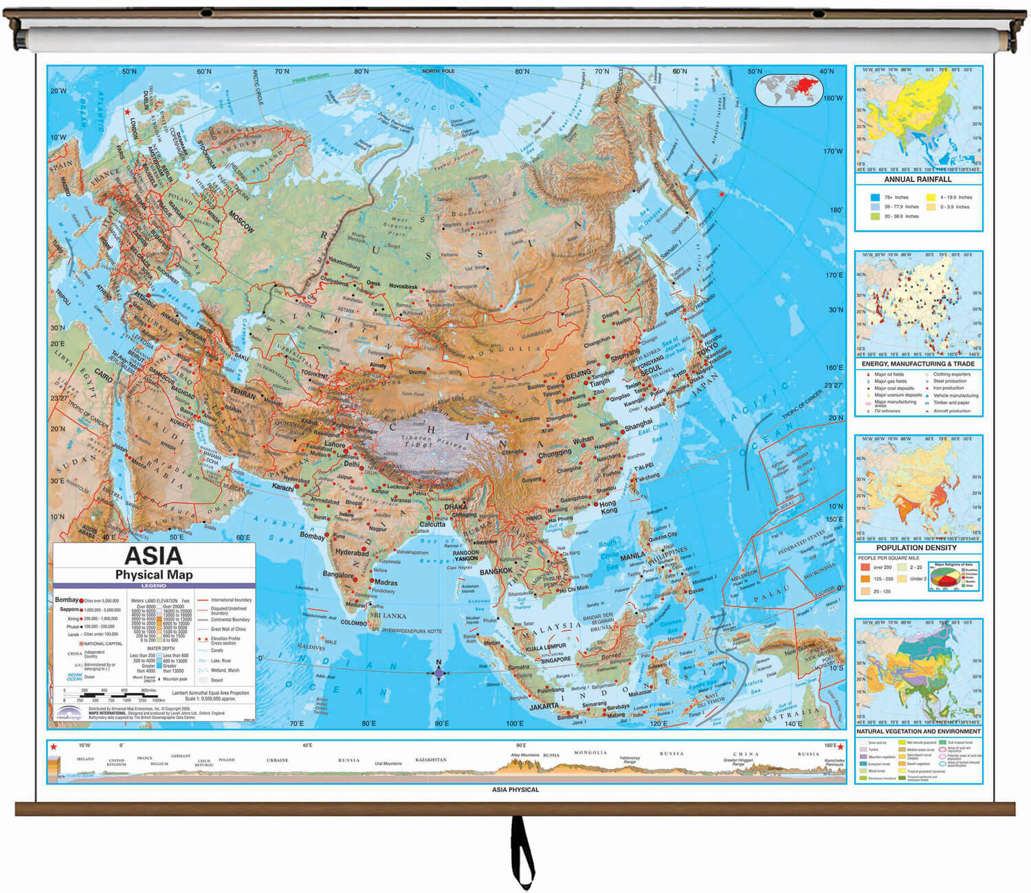 Asia Physical
 North America Physical
 South America Physical
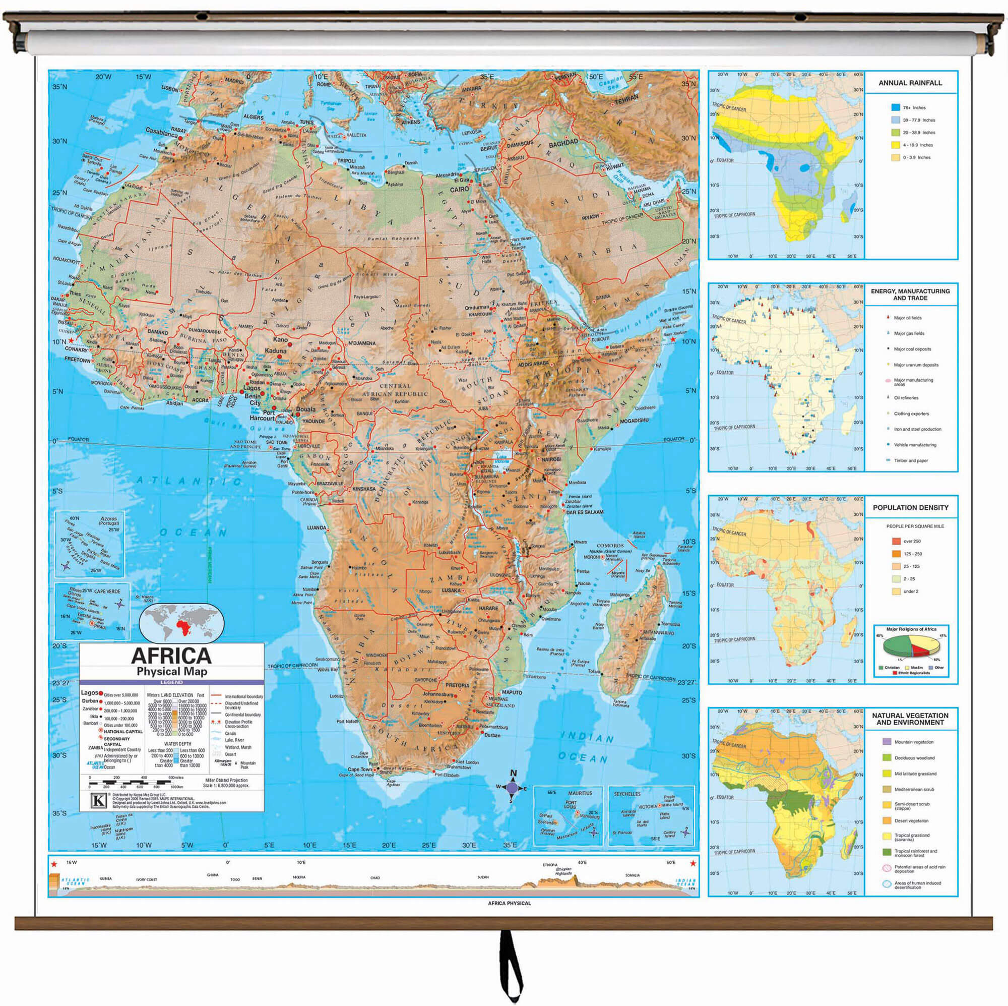 Africa Physical
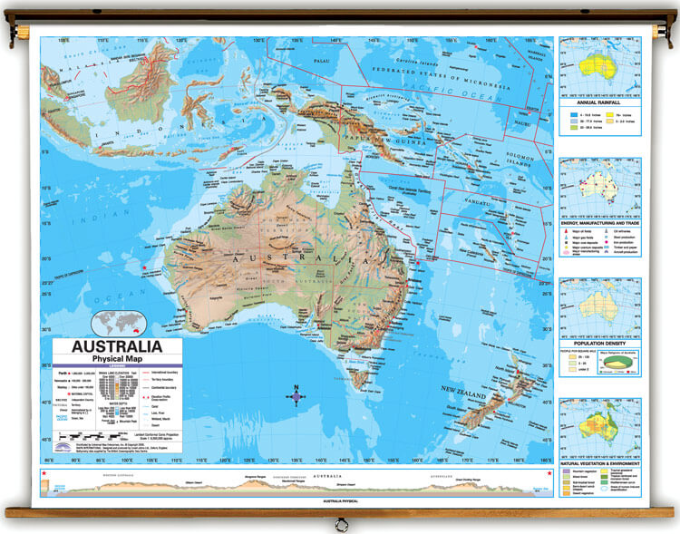 Australia Physical<

Custom Combo Map Bundle - Advanced Series Political & Physical Maps - up to 8 Maps on Single Spring Roller
Description
These Advanced physical and political maps are ideal for teaching geography, history and social studies in the classroom. Put together your own custom world, USA, and continent map set. Created with legibility in mind, these brightly colored maps highlight the world, its continents and the United States with detailed cartography. Appropriate for grades 4-12 and satisfying state and national curriculum standards, the Advanced Classroom Wall Maps are a must have for every classroom. Combine up to 8 of any of these educational maps onto a single pull-down spring roller assembly. Each map is fully laminated and can be safely written on using dry-erase or wet-erase markers.
Advanced Political Maps
The Advanced Political Classroom Wall Maps provide a wealth of valuable information including country and state boundaries as well as capitals, major waterways, and major cities. World map features the latest international name changes and flags for most nations are depicted.
Advanced Physical Maps
The Advanced Physical/Political Topographic Classroom Wall Maps feature innovative shaded relief terrain detail of the world, continents and the United States. Country and state boundaries outlined, and major cities and place names labeled. Topography is represented using colorful shading of elevation.
Maps measure 64" x 49"
- Spring Roller Mounting - Multi-Map - Combo - The laminated maps are mounted to a heavy-duty pull-down classroom spring roller w/ metal backboard rail for hanging from hooks or included wall mounting brackets
Ships rolled in a durable cardboard tube.
 World Politicalu-27892
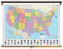 United States Politicalu-27906
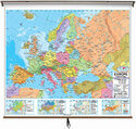 Europe Politicalu-27942
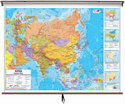 Asia Politicalu-27930
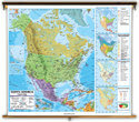 North America Politicalu-27954
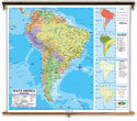 South America Politicalu-27966
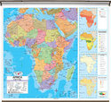 Africa Politicalu-27918
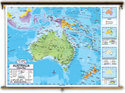 Australia Politicalu-27978
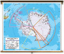 Antarctica Politicalu-27990
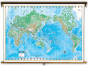 World Physicalu-27886
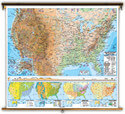 United States Physicalu-27898
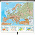 Europe Physicalu-27936
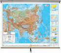 Asia Physicalu-27924
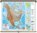 North America Physicalu-27948
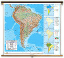 South America Physicalu-27960
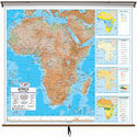 Africa Physicalu-27912
 Australia Physical<u-27972


