
Australia Historical Maps
This small collection of historical prints highlights the Australia/Oceania region
We are constantly working to expand our collection of historic maps. Please revisit often to see what’s new.
-
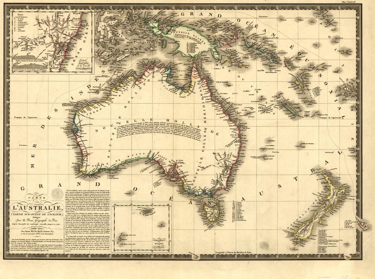
Australia Vintage Map Print (1826)
from $50.00 -

Australia Vintage Map Print (1808)
from $50.00 -

Canberra, Australia Vintage Map Print (1927)
from $50.00 -

Sydney, Australia Vintage Map Print (1922)
from $50.00
This small collection of historical prints highlights the Australia/Oceania region
We are constantly working to expand our collection of historic maps. Please revisit often to see what’s new.
Historical maps are reproduction prints of maps originally created in earlier centuries, offering a window into how the world was once understood and depicted. They capture the cartographic art, geographic knowledge, and cultural perspective of their era. These reproductions are printed from high-quality digital scans of original, authentic prints, preserving every detail of the original artwork—from hand-drawn coastlines to ornate compass roses and decorative borders.
The historical maps offered here are premium-quality reproduction prints, not original antiques. They are reprinted from meticulous, high-resolution digital scans of authentic original maps. This means you get the beauty, detail, and historical significance of an antique map in a fresh, pristine print—at a fraction of what an original would cost and without the conservation concerns of handling a centuries-old document.
The collection spans thousands of titles organized by geographic region and historical period. Categories include Old World maps from the golden age of exploration, United States historical maps tracing the nation’s growth, celestial maps and astronomy charts, and vintage and antique wallpaper murals. Specific regions, states, cities, and countries are all represented across the collection. Browse by region or time period in the Historical Maps collection.
The collection includes maps spanning several centuries of cartographic history—from the Age of Discovery in the 1400s through 19th-century surveys and explorations. You will find maps from the Renaissance, Colonial era, Revolutionary War period, westward expansion of the United States, and many other significant historical periods. The collection is searchable by date range as well as geographic region.
Many of them do. Early cartographers embellished their maps with elaborate illustrations including sea monsters, sailing ships, mythical creatures, decorative compass roses, and ornate borders. These artistic elements are part of what makes historical maps so visually captivating and collectible. Reproduction prints faithfully capture all of this original artwork in full detail.
Historical maps are among the most versatile and timeless wall decor options available. Their warm, aged tones and intricate detail complement a wide range of interior styles—from traditional libraries and studies to modern living spaces and offices. An antique-style world map or regional map adds character, sophistication, and a sense of history to any room. They are also a favorite choice for restaurants, hotels, and retail spaces.
Yes. The collection includes over 2,300 historical maps of U.S. states, cities, and regions alone, plus hundreds more covering continents, countries, and international regions. Whether you are looking for an 1800s map of your hometown, a Civil War-era battle map, or a 17th-century chart of a European coastline, the collection is searchable by location and time period.
Historical maps are one of the most thoughtful gifts for history buffs, genealogy researchers, geography enthusiasts, and collectors. A map of someone’s hometown from a century ago, a chart from the era their ancestors emigrated, or a beautiful Old World map for their office makes a meaningful and memorable gift. Each map also serves as an invaluable tool for researching family histories and understanding historical context.
Historical map prints are available in the same premium finish options as the broader wall map collection: archival paper for framing, laminated for durability, canvas gallery wraps for frameless display, and wood rail mounting for a classic look. Antique-style wallpaper murals are also available for those who want to transform an entire wall with a large-scale historical map display.
Absolutely. Historical maps are an invaluable resource for genealogy research, historical study, and academic work. They show how borders, place names, transportation routes, and settlements changed over time. Comparing a historical map of a region to a modern one can reveal how communities grew, when towns were founded, and how the geographic landscape has shifted—providing essential context for family history research.
Celestial maps are historical star charts that depict constellations, celestial bodies, and the night sky as understood by astronomers of earlier centuries. They often feature beautiful artistic renderings of zodiac figures, mythological characters, and celestial instruments. These prints are popular with astronomy enthusiasts, science educators, and anyone drawn to the artistry of early scientific illustration. Explore the Celestial Maps collection.
Yes. The Historical Vintage and Antique Wallpaper Murals collection offers large-format wall coverings featuring beautifully reproduced historical maps. These murals transform an entire wall into a stunning antique map display, making them a dramatic design feature for libraries, studies, offices, and living spaces. They are available in peel-and-stick and traditional wallpaper materials with custom sizing options.
The collection is constantly expanding. New titles are added regularly as new source material is digitized and made available for reproduction. The database currently includes thousands of titles, and visitors are encouraged to check back often for new additions. If you are searching for a specific historical map that you do not see in the collection, contact the team to inquire about availability.
Historical map prints are shipped the same way as all wall maps—carefully packaged to prevent damage during transit. Paper prints and laminated maps are shipped rolled in sturdy tubes. Canvas wraps and framed options are shipped flat in protective packaging. Wallpaper murals are shipped in panels. Free ground shipping is included for all orders within the contiguous United States.