Digital Classroom Maps
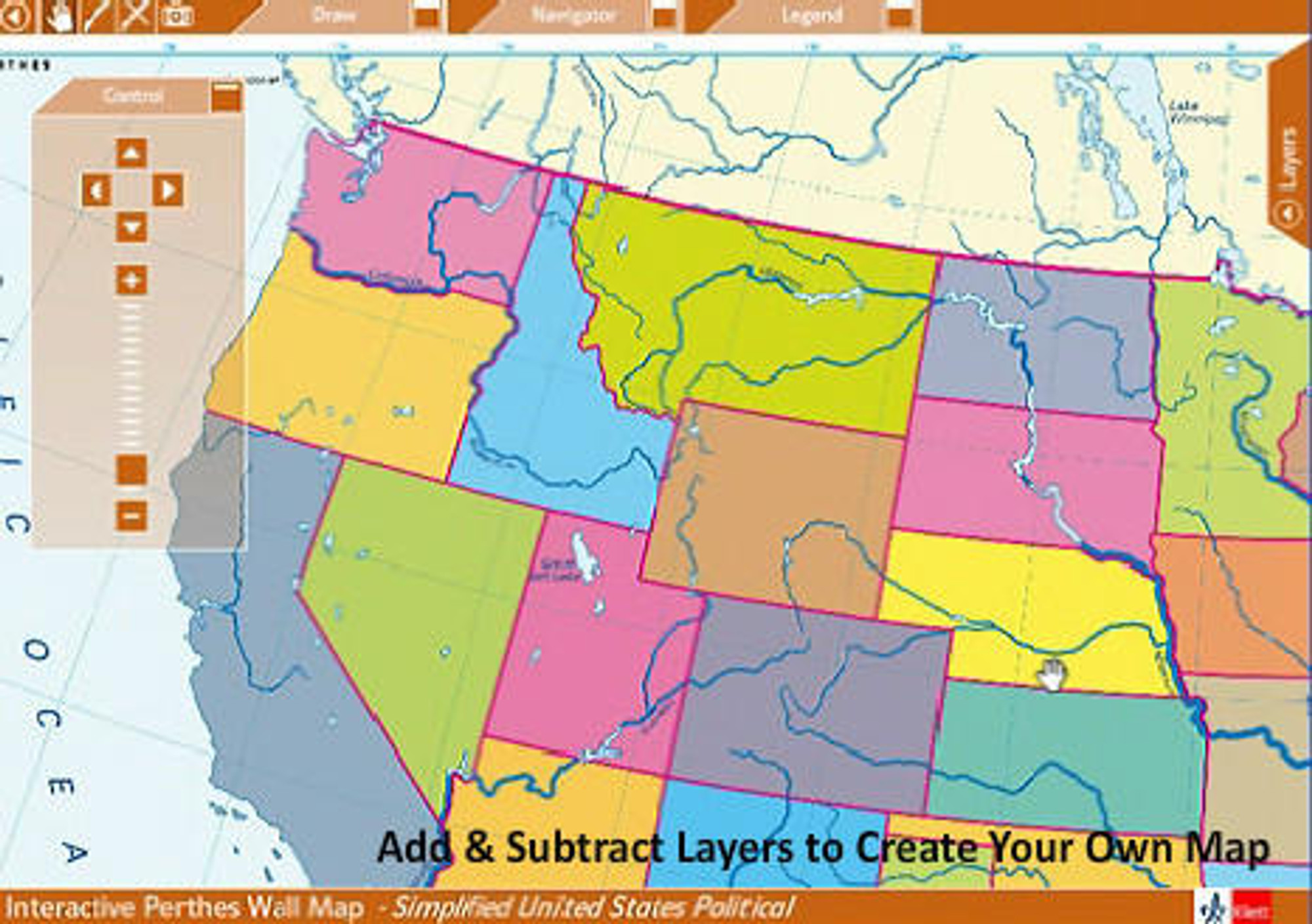
For Display On: Interactive Whiteboards (Compatible with Smart Boards) Projectors, Desktop Computers. Electronic Map Software Options for both PC & Mac. GIS Based Layers: Add or remove layers of information to customize the map. Interactive Tools: Zoom, pan, and mark-up maps; export to JPEG School Site License: Install software throughout the entire school for a single low price. Elementary, middle, and high School specific packages. U.S. & World digital history map collections. Interactive state maps w/ Congressional districts, civic and government maps. GIS layer based interactive World, USA, State & Continents package. Interactive school whiteboard maps. All digital map packages and atlases include a school site license, single-user and county licenses are also available upon request. PC Windows & MacOS Compatible


