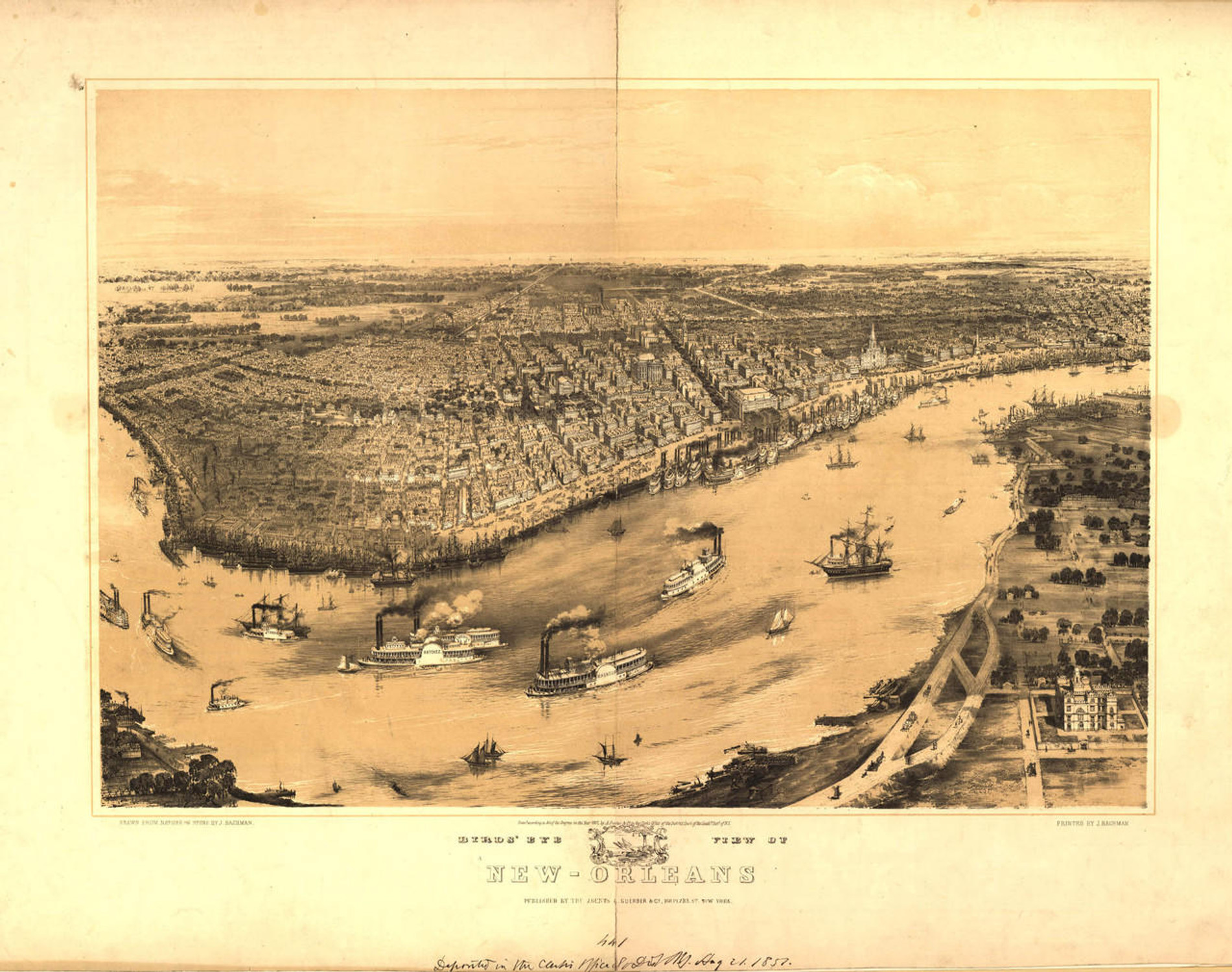
Historic Map - New Orleans, LA - 1815

Code:
1W-LA-NO-1815
Starting at $34.00

clear
Adding to cart… The item has been added

Description

Plan of the City and Suburbs of New Orleans : from an actual survey made in 1815 / by I. Tanasse ; Rollinson, sc.

The city of New Orleans was founded on May 7, 1718, by the French owned Company of the West (formerly the Mississippi Company). Named for Philippe d'Orleans, the Duke of Orleans, the city stayed within French control until it was ceded to Spain in 1763. In 1801 the city changed hands again, when the French regained control - though this was short lived. Napoleon sold the Louisiana Territory to the United States in 1803, and New Orleans experienced a population boom shortly thereafter. It is currently the largest city in Louisiana, and is one of the most unique cities in the country. This beautiful map provides a look at the early days of the city. Complete reference list below. 


Features lettered references to the following locations:

(A) Halle Des Boucheries conftruite en l'anne 1813
(B) Hotel De Ville conftruite en l'anne 1795
(C) Eglise Paroissialle conftruite en l'anne 1794
(D) Presbytere conftruite en l'anne 1813
(E) Hopital Militaire et Caserne's conftruite en l'anne 1758
(F) Thatre D'Orlans anne 1813
(G) Theatre Sr, Philippe annee 1810
(H) College D'Orleans annee 1812
( I ) Douane anne 1809
(K) Couvent Des Religieuses construit en 1733
(L) Hopital De Charite const en 1815
(M) Gouvernement anne 1761
(N) Pompeafeu en lanne 1813

Materials

Archive Paper

Archive Paper

Premium fine art paper that provides accurate color reproduction with high-contrast, high-resolution print output and maximum image permanence. A high-quality print ready for framing.

More
  • Museum quality paper for high-quality fine art.
  • Ultra smooth, neutral white matte finish.
  • Heavy-weight 230 gsm, 9.5 mil thickness.
  • Printed with pigment inks for longer print life and enhanced fade resistance.
  • Pigment based Canon LUCIA inks provide smooth tones and rich colors in fine, precise detail.
USA map icon

Made In The USA

Our wall map products are designed and printed on demand by our small team in Seattle, WA using high quality materials and fine art giclee printing.
Purchase order icon

School Purchase Orders

We gladly accept purchase orders from schools and other government institutions. Learn more here
Icon of plane flying

Worldwide Shipping

International shipping options are available. Free shipping within the contiguous USA

Questions about Historic Map - New Orleans, LA - 1815?

World Maps Online is here to help you with all of your map needs. If you need help finding the right product, we're happy to answer questions you have. to send us a message on live chat.