
Interactive Maps for Schools
Discover our diverse selection of Interactive Maps for Schools, perfect for enhancing learning in any educational setting. Choose from engaging student desk maps, colorful map rugs, creative giant playground map stencils, and innovative digital interactive classroom map packages. These high-quality map products are designed to inspire curiosity and support hands on geography lessons in classrooms, home school, and beyond. Bring learning to life with versatile, fun, and educational map resources for students of all ages.
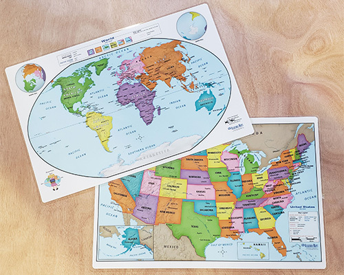
Student Desk Maps
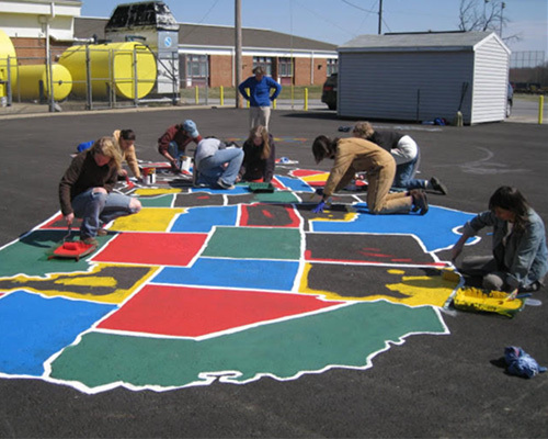
Playground Map Stencils for Schools
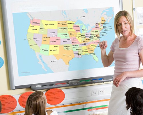
Digital Classroom Maps
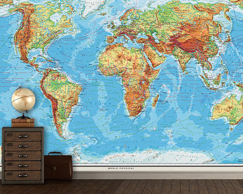
Laminated Map Murals
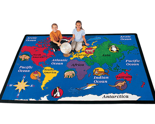
Classroom Map Rugs
Interactive classroom maps are designed for hands-on student participation. This includes markable surfaces that accept dry-erase or wet-erase markers, student-sized desk maps for individual work, and large-format maps for group annotation. The key feature is that students and teachers can write on, mark, and erase on the map surface.
Yes. Student desk maps provide individual-sized maps for hands-on activities at each student's desk. Students can label countries, trace routes, color regions, and practice map skills independently. These complement the larger classroom reference map for differentiated instruction.
Yes. On laminated interactive maps, students can draw trade routes, migration patterns, weather systems, or any geographic concept using dry-erase markers. The marks erase cleanly, allowing the same map to be reused for different lessons and activities throughout the school year.
Yes. The Interactive Maps for Schools collection includes playground map stencils and large-format floor maps designed for kinesthetic learning. Students physically walk across countries and continents, reinforcing geographic concepts through movement and spatial experience.
Standard dry-erase markers work well on laminated surfaces and erase cleanly with a dry cloth. For marks that need to last through a class period without accidental smudging, low-odor wet-erase markers are a good choice—they require a damp cloth to remove. Avoid permanent markers on any markable map surface.
Yes. Interactive maps are available at multiple complexity levels matching elementary through high school curricula. Simplified versions feature fewer labels and larger geographic features for younger students, while detailed versions include comprehensive labeling for advanced geographic study.
Yes. Classroom-format interactive maps are sized for visibility when students gather around for collaborative activities. Standard classroom sizes (48" to 60" wide) allow small groups to work together on map-based activities while still seeing all geographic details clearly.
Yes. Blank outline maps provide country, state, or continent boundaries without pre-printed labels, allowing students to fill in names, capitals, geographic features, and other information as a learning exercise. These are excellent assessment tools and hands-on geography activities.
Yes. Digital classroom maps offer technology-integrated options for classrooms with interactive whiteboards or projection systems. These complement physical maps and provide additional flexibility for lessons that incorporate technology.
Yes. Laminated map murals installed on classroom walls create a large-scale interactive surface where students can annotate using dry-erase markers. The wall-sized format makes geographic features life-sized and immersive, and the laminated finish withstands daily use. See the Classroom Map Murals collection for wall-sized options.