Historical Maps
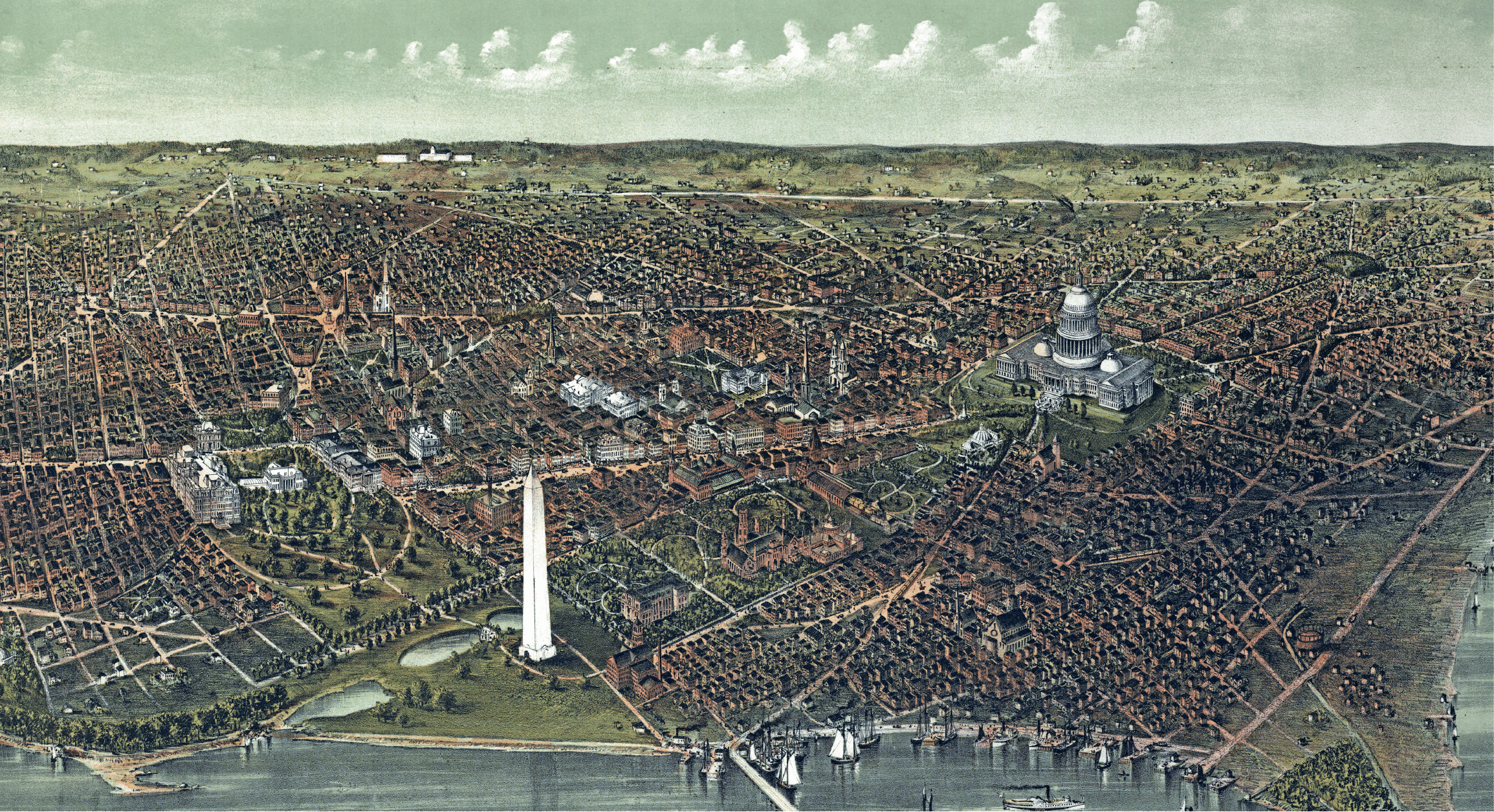
Historical maps are a great gift for the history enthusiast and make a timeless wall decoration, each antique map reproduction print can also serve as an invaluable tool for research and discovery of family histories. This amazing selection of historical maps are reprinted from high quality digital scans of original, authentic prints. Check back often as our selection is constantly expanding. View titles by geographical region, or by date range in the time line below.

US States, Cities and Regions Historical Maps
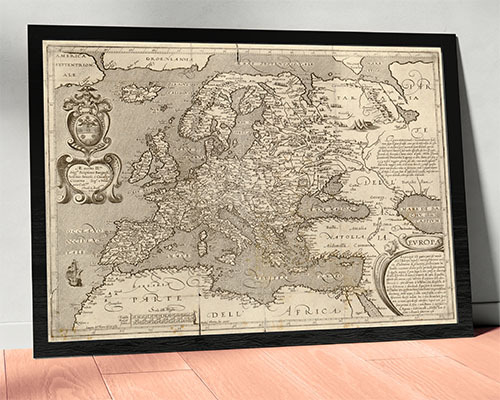
'Old World' Maps
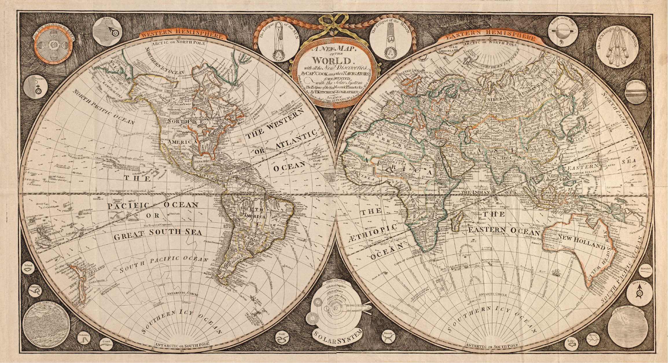
Continents / Countries Historical Maps
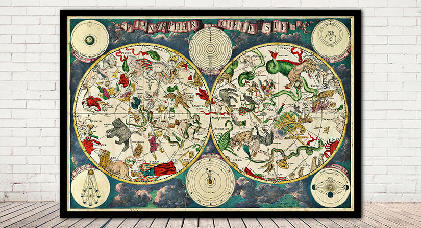
Celestial Maps - Astronomy Charts
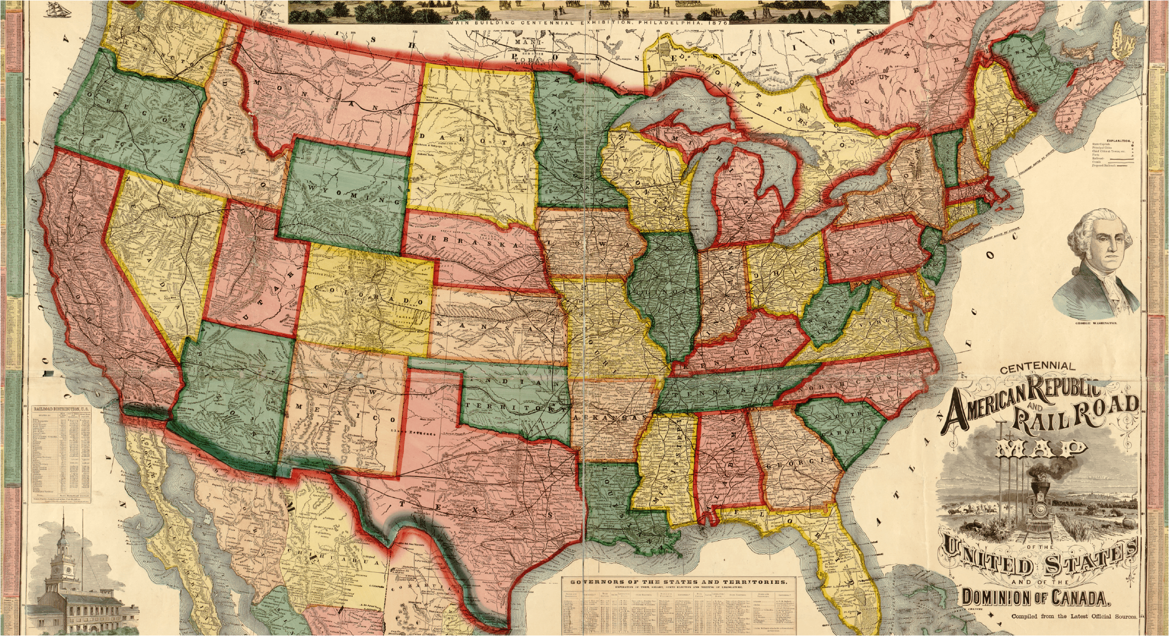
United States Historical Maps
Historical Vintage & Antique Wallpaper Murals
Historical maps are a great gift for the history enthusiast and make a timeless wall decoration, each antique map reproduction print can also serve as an invaluable tool for research and discovery of family histories. This amazing selection of historical maps are reprinted from high quality digital scans of original, authentic prints. Check back often as our selection is constantly expanding. View titles by geographical region, or by date range in the time line below.