World Wall Maps
Explore our collection of large-format world maps designed to enhance any space. Choose from a variety of styles and formats, including laminated wall maps, peel & stick decals, canvas wraps, and classic poster prints. Each map is thoughtfully crafted to combine geographic accuracy with visual appeal, making it a standout centerpiece on any wall.
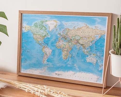
World Political Wall Maps
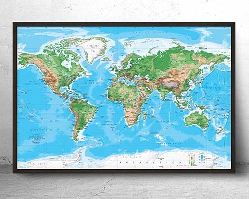
World Physical Wall Maps
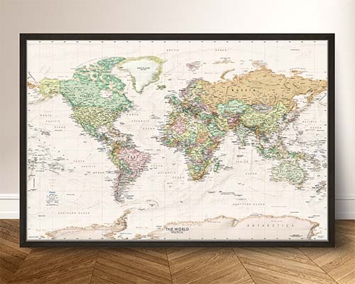
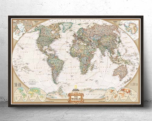
Antique Style World Map Prints
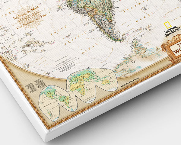
Personalized World Maps
Best Selling World Maps

World Wall Maps - Entire Collection
Look for a map produced using museum-quality giclée printing with pigment-based inks on archival paper or canvas. These techniques deliver sharp text, crisp linework, and colors that resist fading. The World Wall Maps collection features maps from the world's premier cartographic publishers printed on demand to ensure the highest quality.
For a living room, a map in the 48"×72" to 60"×80" range creates a commanding presence. Measure your wall and leave at least a few inches of margin on each side for visual balance. For smaller spaces like a study, a 36"×48" map works well. If you need a non-standard size, custom sizing is available.
It depends on your intended use. Laminated maps are ideal for interactive use—you can write on them with dry-erase markers, wipe clean, and reuse, making them perfect for offices and planning. Canvas gallery wraps offer an elegant, frameless art display with rich color depth. Both are excellent quality but serve different purposes.
A political map shows human-defined boundaries like country borders, state lines, and capital cities, using distinct colors for different nations. A physical map focuses on natural features like mountains, rivers, deserts, and ocean depth using color gradients and elevation shading. Many customers choose one of each for complementary reference.
Choose maps from publishers that provide ultra-high-resolution source files designed for large-format printing. All maps in this collection are printed using museum-quality giclée techniques with source imagery specifically optimized for wall-sized output. Text, borders, and geographic detail remain sharp and crisp at sizes up to 60"×80" and beyond.
The best method depends on the map's finish and weight. Canvas gallery wraps and framed maps come with hanging hardware attached. Peel-and-stick maps apply directly to the wall. Wood rail-mounted maps hang from a single hook.
Yes. Maps are printed on demand at the Seattle production facility, and each print reflects the most current cartographic data available from the publisher. This on-demand model means you receive a freshly printed, up-to-date map rather than one that has been sitting in a warehouse.
World wall maps are available in archival paper (ideal for framing), laminated (dry-erase compatible), canvas gallery wrap (frameless, display-ready), wood rail-mounted (classic schoolhouse look), peel-and-stick wall decal (removable, repositionable), and framed (arrives finished and ready to hang).
Absolutely. A large-format world map serves as both a striking design element and a functional business tool in conference rooms. Companies with global operations use them for strategic planning, client presentations, and tracking international activities. Laminated options allow teams to annotate directly on the surface.
Maps are produced using museum-quality giclée printing with ultra-high-resolution imagery and pigment-based inks. This results in sharp text, crisp linework, and vivid, accurate colors that resist fading. Each map is carefully selected from premier cartographic publishers and printed on demand for the highest quality output.
Find the Right Map for Your Space
More than just wall decor, a world map can inspire curiosity, spark conversation, and help you visualize the bigger picture—every single day. In this collection, you’ll find large-format world maps in a wide variety of styles, from bold political maps to vintage reproductions and detailed physical geography maps.
Each map is made to order in our Seattle print shop using high-resolution production methods and quality materials, ensuring it's well-suited for classrooms, offices, living rooms, and anywhere else you want to showcase a global view.
Choose the format that fits your space:
- Laminated maps – Durable, markable surfaces ideal for education and planning
- Canvas & framed maps – Ready-to-hang artwork perfect for homes or professional spaces
- Peel & stick wall decals – Easy to install, removable, and renter-friendly
- Wood rail-mounted maps – A timeless, pull-down look with classic charm
- Archival paper prints – Museum-quality stock, great for custom framing
Need something tailored to your style or space? We offer personalized maps and fully custom map designs—just tell us what you're looking for, and we’ll bring it to life.
Whether for learning, planning, or adding a striking focal point to your walls, our world maps help bring global perspective to any environment.
Looking for something to make a bigger impact? Shop large-format peel-and-stick map wallpaper