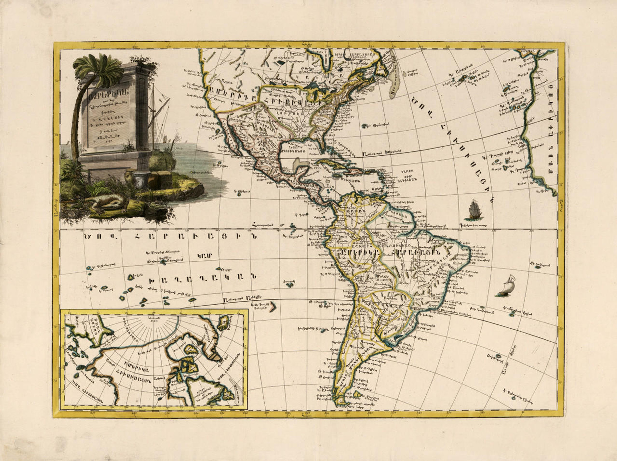
Historical Map of the Americas - 1650
Description
Noviffima et Accuatiffima totius Americæ Descriptio per Jacobum Meursium
Little is known about Dutch cartographer Jacob Meurs, born about 1619. He was a map publisher, engraver, and bookseller in Arnhem, and later in Amsterdam. After his death, his wife, known simply as the Widow Meurs, continued his business.
This map, claiming to be the “most recent and most accurate description” of the Americas, closely follows Nicolas Sanson’s contemporary map of the New World, also published in 1650, including Sanson’s “mistakes”: California is drawn as an island, and the Great Lakes are distorted in comparison to later, more accurate maps.
The mid-17th century represents a transition from the aesthetic and symbolic sensibility of Dutch mapmakers to the emphasis on scientific accuracy stressed by French cartographers. Both Sanson and Meurs owed their charting of North America to the explorations of Samuel de Champlain in the first decades of the 1600's.
In this Meurs map, unlike Sanson’s more narrowly scientific rendering, the uncharted regions of Arctic America are bordered by an ornamental design that underscores its unknown character. Mythical creatures, including a Poseidon-like figure, rise from the waters and suggest the limits of human knowledge.
Materials
Archive Paper

Premium fine art paper that provides accurate color reproduction with high-contrast, high-resolution print output and maximum image permanence. A high-quality print ready for framing.
More
- Museum quality paper for high-quality fine art.
- Ultra smooth, neutral white matte finish.
- Heavy-weight 230 gsm, 9.5 mil thickness.
- Printed with pigment inks for longer print life and enhanced fade resistance.
- Pigment based Canon LUCIA inks provide smooth tones and rich colors in fine, precise detail.

Made In The USA

School Purchase Orders