Custom U.S. History Map Sets - Multi-Map Spring Roller Combo - Over 60 Titles | Kappa Maps
Item:U-HISTU-2M
MSRP:
Was:
Now:
$729.00
(You save)
Availability:Ships in 4-6 Weeks
UPC:
Free U.S.
Shipping
30-Day
Guarantee
Made in
the USA
Museum
Quality
Description
Add a comprehensive collection of thematic history maps to your classroom. This collection allows you to select the specific maps to be bundled into each set, creating a fully customized USA history map solution with up to a total of 8 maps on a single spring roller. Choose from more than 60 history map titles.
Maps are mounted together on a single pull-down spring roller with a metal backboard rail.
History maps in this series are markable with a dry-erase or water-soluble marker.
The map quality and topical coverage meet U.S. history curriculum requirements.
You may mix and match United States history maps from the gallery shown below on this page with titles from the World History Map Collection (contact us for assistance with a combo containing maps from both series).
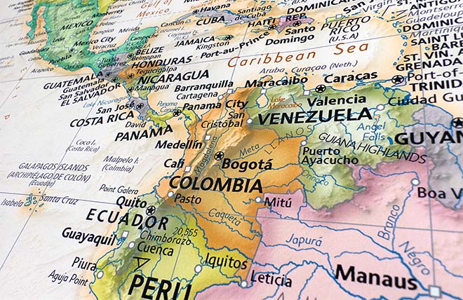
Durable laminated maps measure 47" x 37.5", or 36" x 49.75".
Maps are mounted on a durable spring roller with backboard, and include necessary wall mounting hardware.
We also offer the individual maps mounted on separate spring rollers. Please contact us to order!
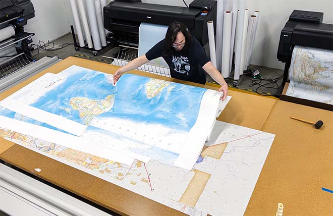
We use top-notch materials printed on demand using the Giclée printing method, so you get amazing detail and bright colors every time.
Gallery quality map prints made in the USA
We specialize in producing high-quality, detailed maps using advanced printing technologies and premium materials. Stringent quality control and ultra-high-resolution printing guarantee absolute clarity and precise detail at any size. Whether it's a smaller wall map print or a gigantic wallpaper map mural, no print will appear blurry or pixelated. You can expect every detail on the map to be sharp and clear.
Finely Crafted Cartographic Works of Art
Many of the maps we provide are created by our small team of cartographers under the name Academia Maps.
Museum Quality Materials
We source the best materials for our map prints and wallpaper maps. Premium archival inks guarantee rich vibrant colors with excellent fade resistance.
USA Print Production
We are a small business located in Seattle, WA that has been printing maps for over 15 years. Each map is printed on-demand using high-end fine art printers.
Shipping Costs
Free Ground Shipping within the contiguous United States and a flat rate of $20.00 to AK and HI.
Canada via UPS Standard is $40.00 USD.
Worldwide Shipping is available and shipping costs will be calculated at checkout.
Shipping Times
Most items are made to order and ship from our Seattle, WA facility. Typical production lead times are listed below. Shipping transit time is 2-5 business days depending on the delivery location. If you need your map by a certain deadline please contact us for expedited options.
Archival Paper, Laminated Maps, and Peel & Stick - 5-7 business days
Wood Rail Mounting - 3-4 weeks
Canvas Gallery Wraps & Framed Maps - 3-5 business days
Push Pin Maps - 3-5 business days
Spring Roller Maps - Varies, see product description
Wallpaper Map Murals - 7-10 business days
Returns
If you are unhappy with your order for any reason you can return it within 30 days of the delivery date. Customized items are non-returnable.
Yes, we can produce a majority of the map titles found on our website in a custom size. If you would like to request a custom size, take note of the map title and item#, then follow one of the links below to make your request. We will follow up with a link to checkout.
(for rolled or mounted prints)
(for larger peel & stick / wallpaper maps)
All of our maps are currently labeled as "Gulf of Mexico". Since our map products are printed to order, we can offer the alternate "Gulf of America" labeling by request.
If you would like your map to be labeled Gulf of America instead of Gulf of Mexico, simply request this in the comments section at checkout, and we will update the map.
We accept purchase orders from schools and government entities. You can e-mail a copy of your PO to [email protected].
View more information and download our W-9.
No problem, send a screenshot or PDF of your shopping cart to [email protected] and will promptly follow up with a quotation.
Our products are printed on demand and have the following production lead times:
Archival Paper, Laminated Maps, and Peel & Stick - 5-7 business days
Wood Rail Mounting - 3-4 weeks
Canvas Gallery Wraps & Framed Maps - 3-5 business days
Spring Roller Maps - Varies, see product description
Shipping transit time is 2-5 business days and will vary depending on your location. Most products ship from Seattle, WA.
Many of the maps found on our website can be customized, including adding a personalized title/legend or company logo, modifying the color scheme, change text labels, adding points of interest, and placing GIS data on the map.
If the order is shipping outside of Washington state, sales tax may not apply. We collect sales taxes per state and local laws. Sales tax is calculated at checkout based on the delivery address.
We can ship to nearly any country. The shipping cost is determined for Canada and most European countries at checkout. If you find that shipping is unavailable to your country when checking out then please contact us with a list of the products you would like to order as well as size and material options.
We can produce a custom map for any location in the world. Whether you are looking for a detailed city street map or high resolution satellite imagery of a remote area, we have you covered.
Our wall maps and wallpaper map murals are handcrafted by our small team in Seattle, WA.
School Purchase Orders
We accept purchase orders from schools and other government institutions. Learn more here.
High Quality Materials
Maps are printed on premium fine art papers, canvas, and durable wallcovering materials using archival inks.
Stunning Cartography
Original and up-to-date maps designed by our cartographic team at Academia Maps include a range of high quality maps for geographic exploration, home decor, and classroom learning.
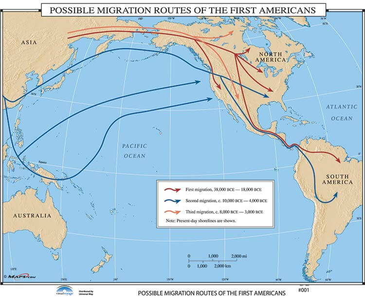 Possible Migration Routes of the First Americans
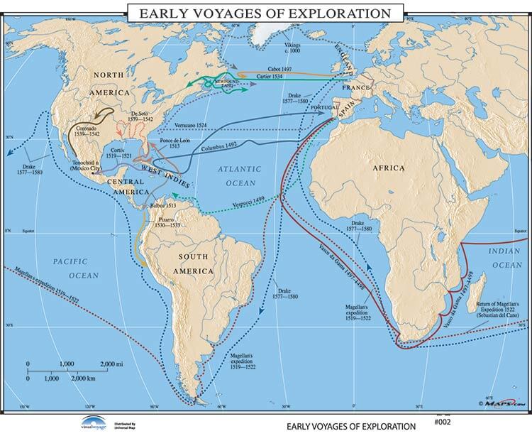 Early Voyages of Exploration
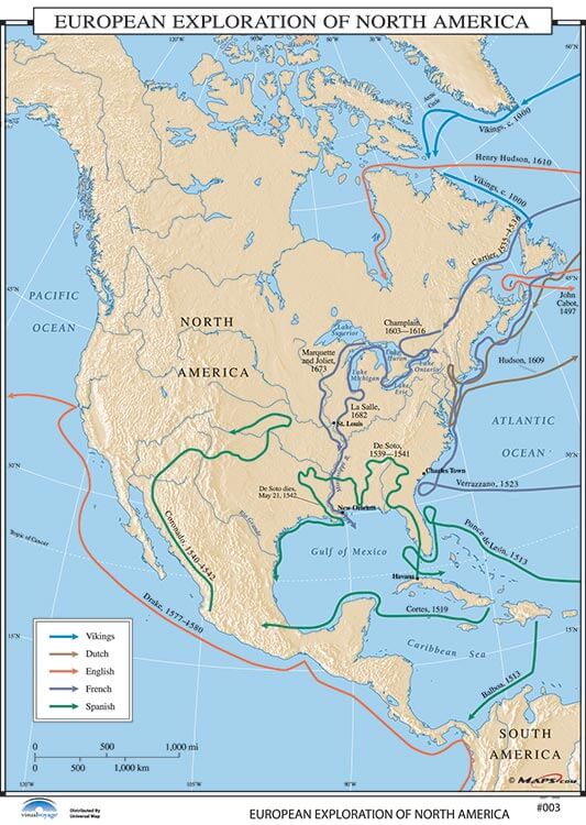 European Exploration of North America
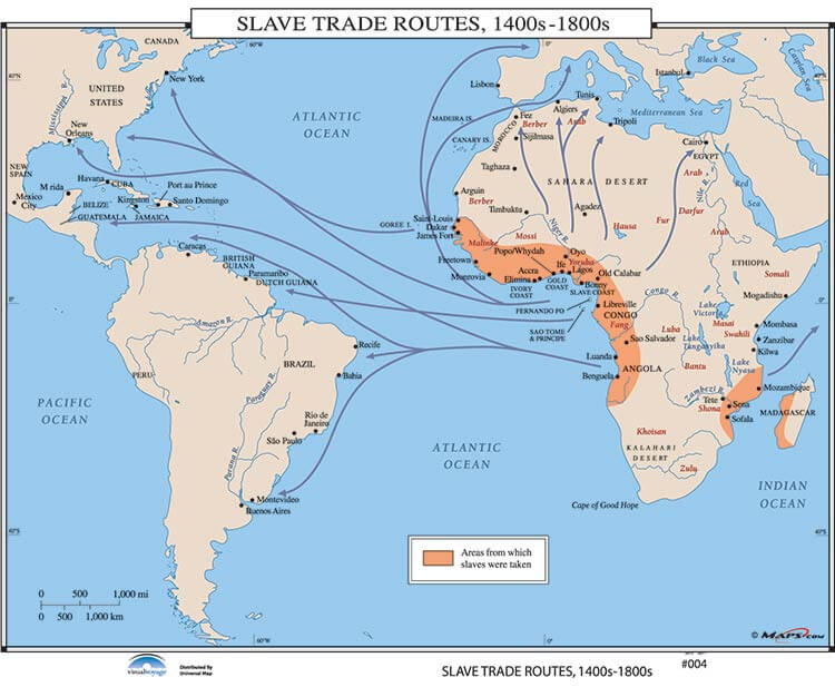 Slave Trade Routes, 1400's-1800's
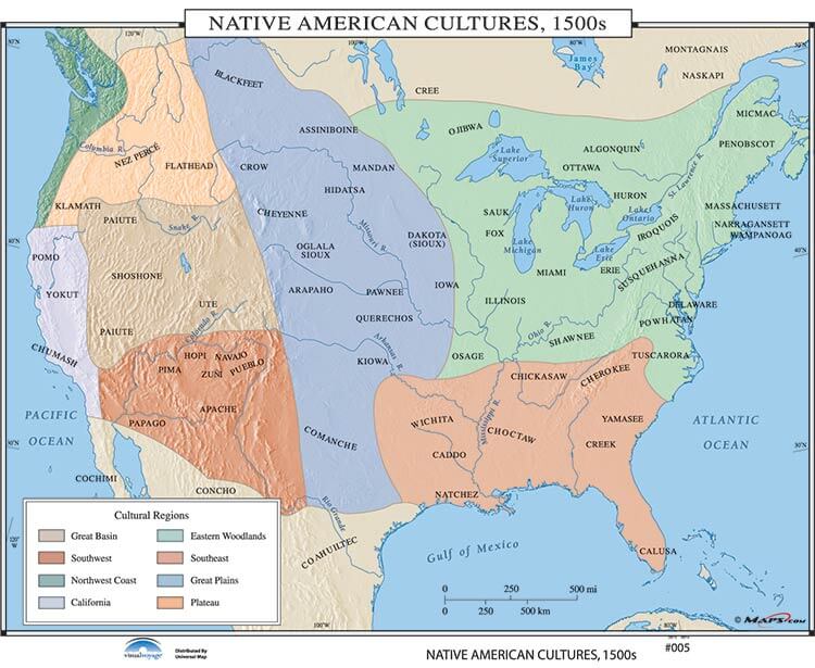 Native American Cultures, 1500's
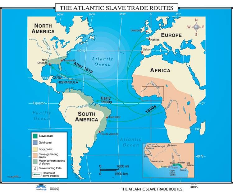 The Atlantic Slave Trade Routes
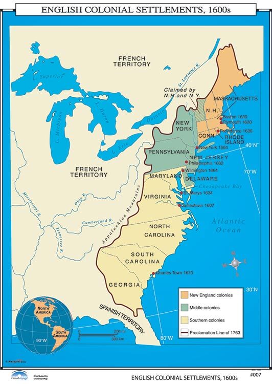 English Colonial Settlements, 1600's
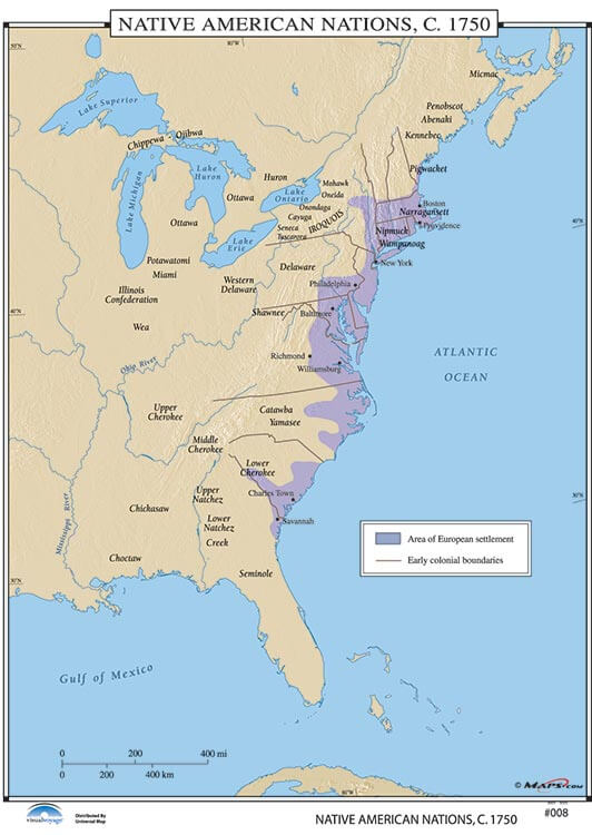 Native American Nations, c. 1750
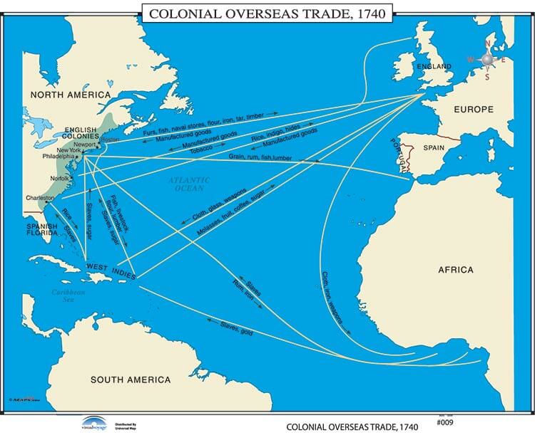 Colonial Overseas Trade
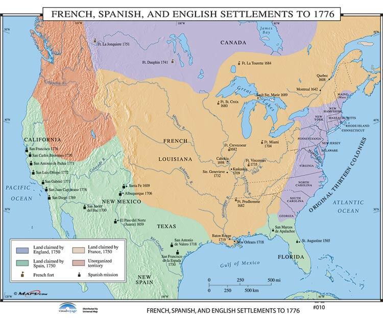 Fr., Sp. & English Settlements to 1776
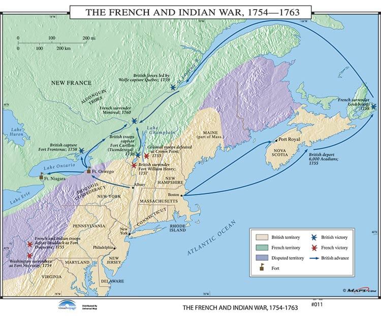 The French and Indian War
 Settlement by Ethnic Group, c. 1755
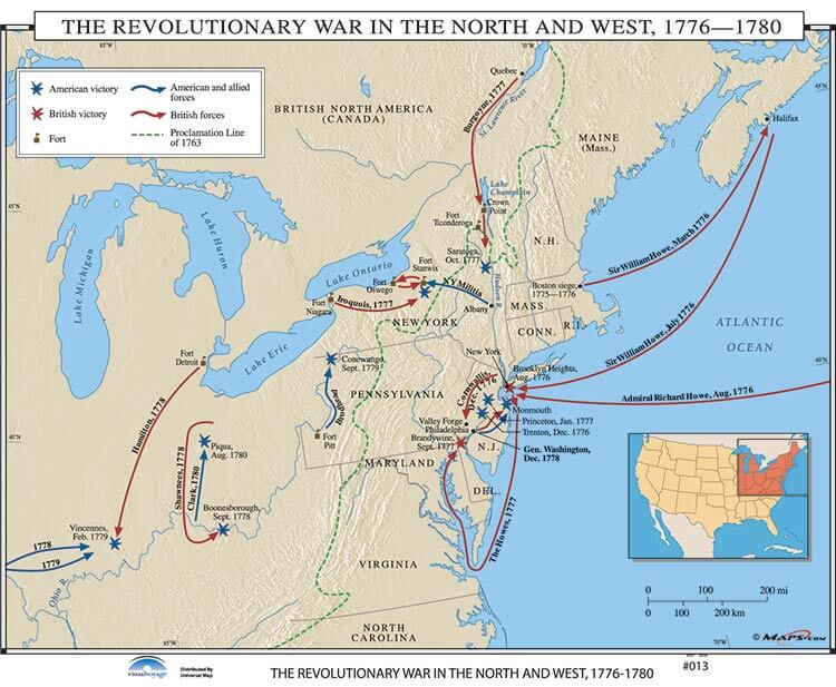 Revolutionary War in the North and West
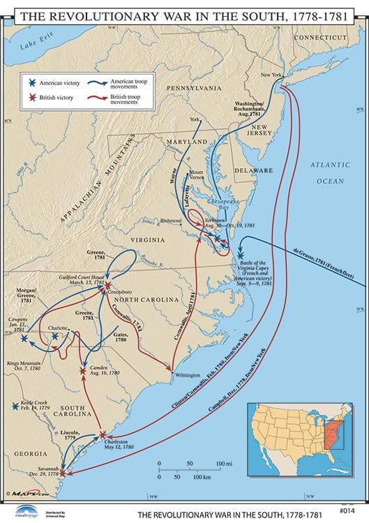 The Revolutionary War in the South, 1778-1781
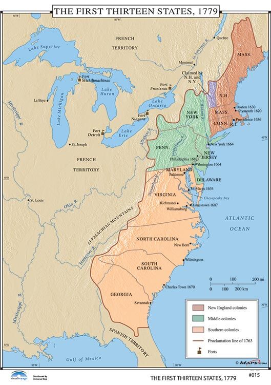 The First Thirteen States
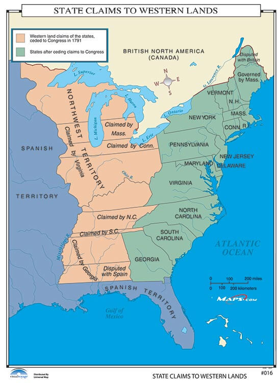 State Claims to Western Lands
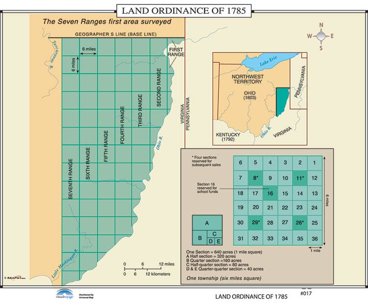 Land Ordinance of 1785
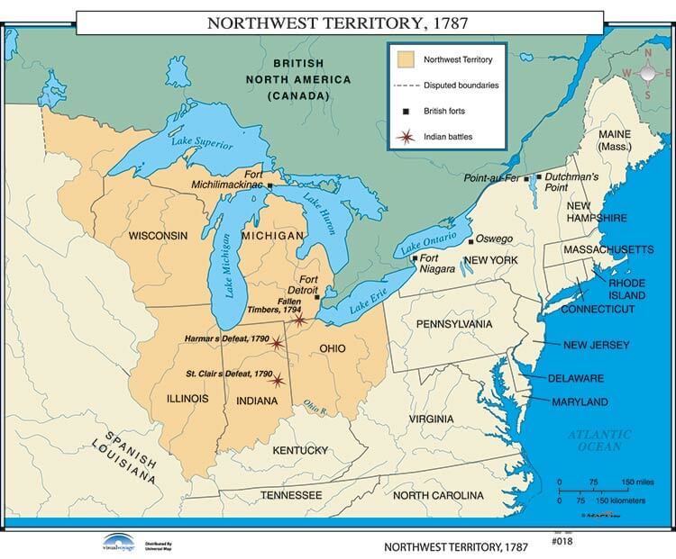 Northwest Territory
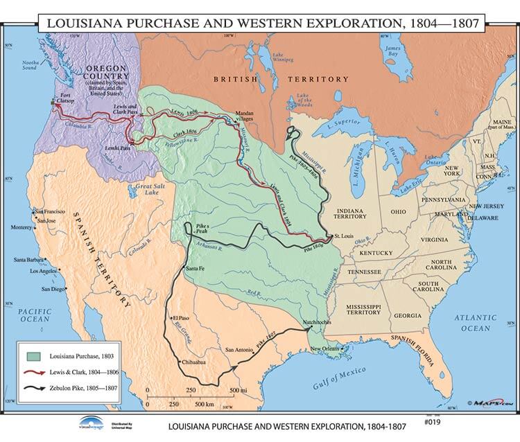 Louisiana Purchase, Western Exploration Routes
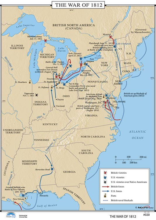 War of 1812
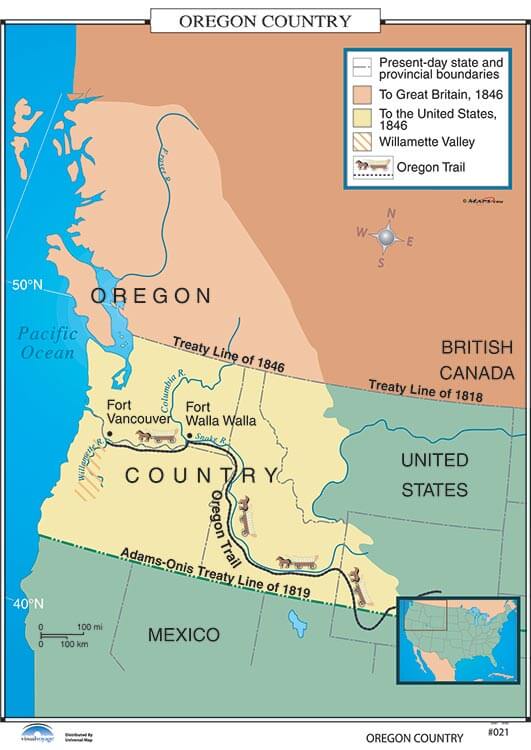 Oregon Country
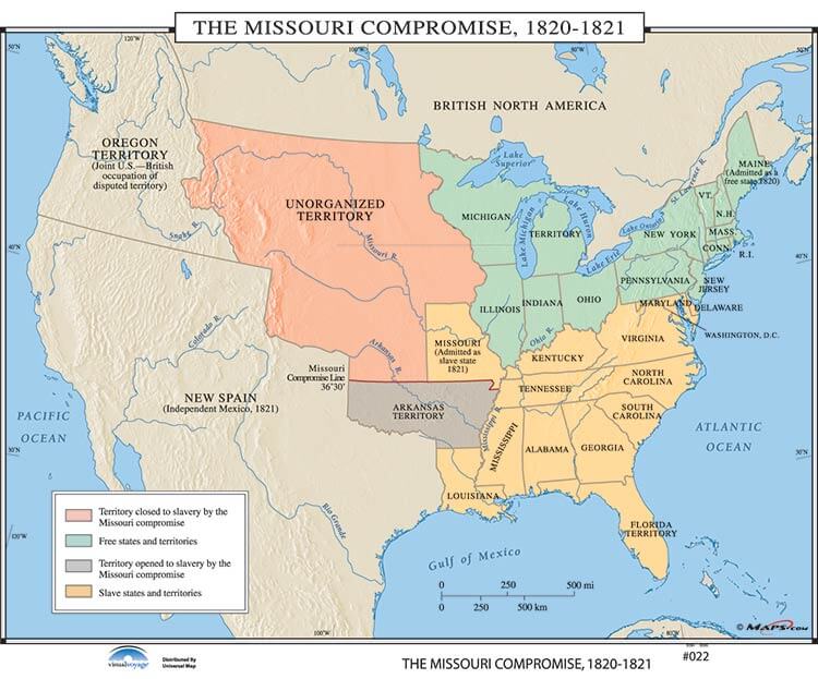 The Missouri Compromise
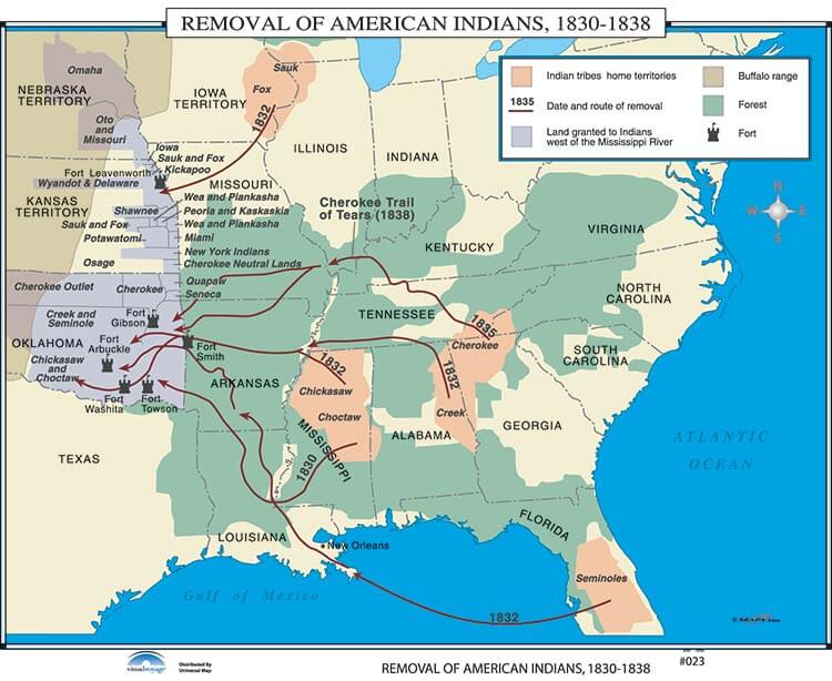 Removal of American Indians
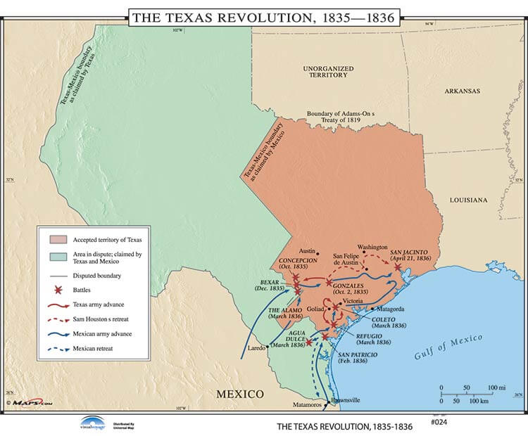 Texas Revolution, 1835-1836
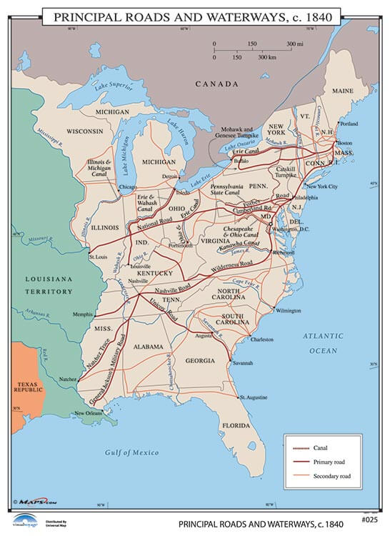 Principal Rivers, Roads, and Canals, c. 1840
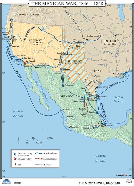 Mexican War, 1846-1848
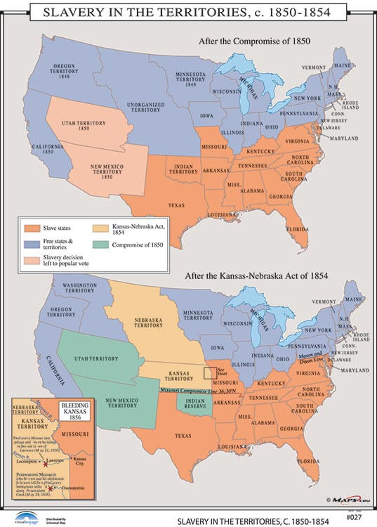 Status of Slavery in the Territories
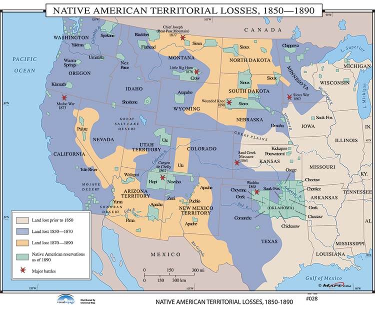 North American Indian Territorial Losses, 1850-1890
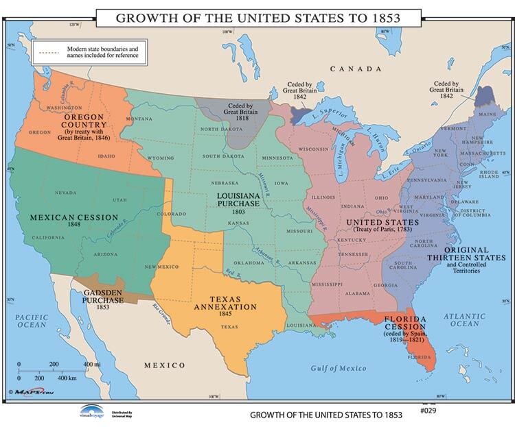 Growth of the United States to 1853
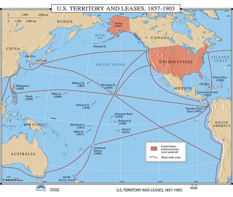 U.S. Territory and Leases
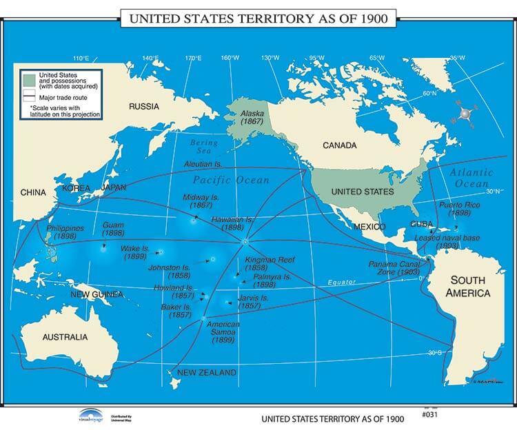 U.S. Territory as of 1900
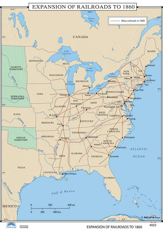 Expansion of the Railroads to 1860
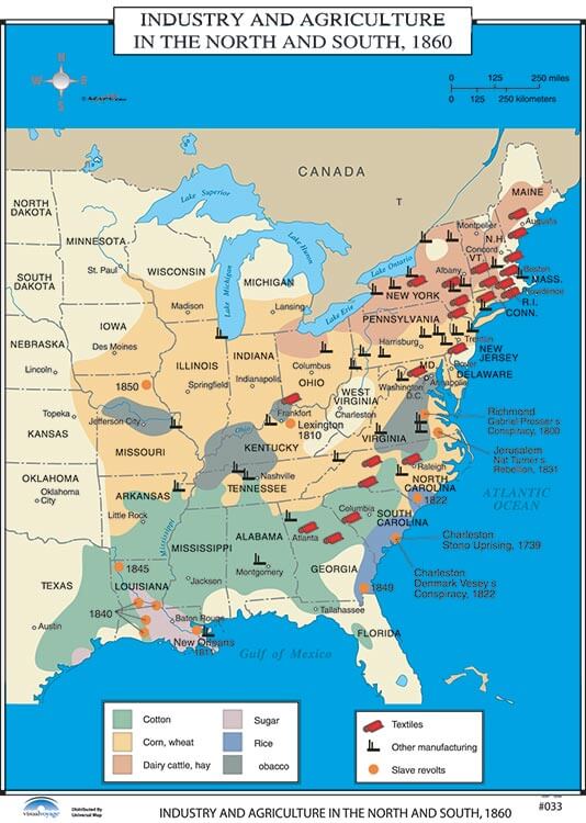 Industry and Agriculture in the North & South
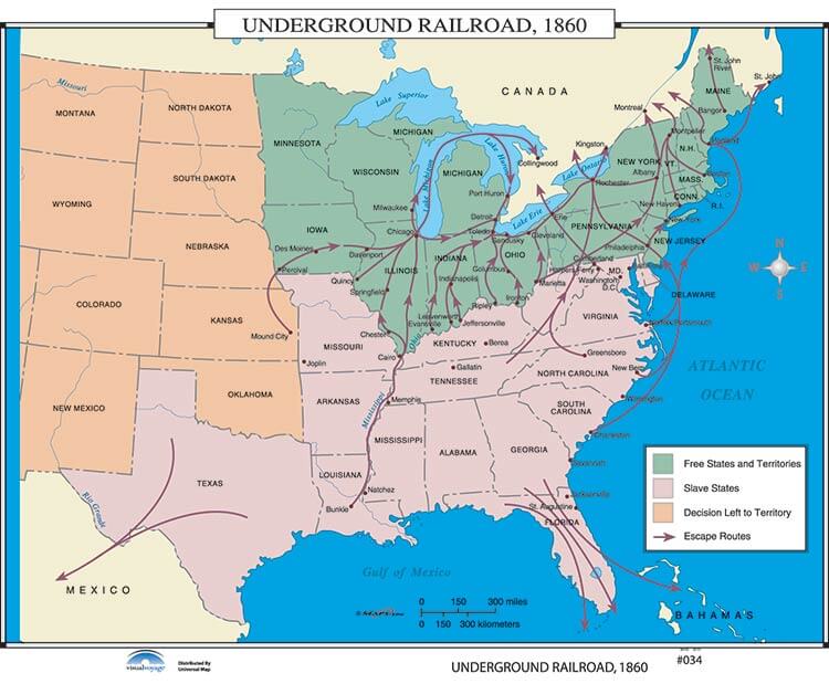 Underground Railroad
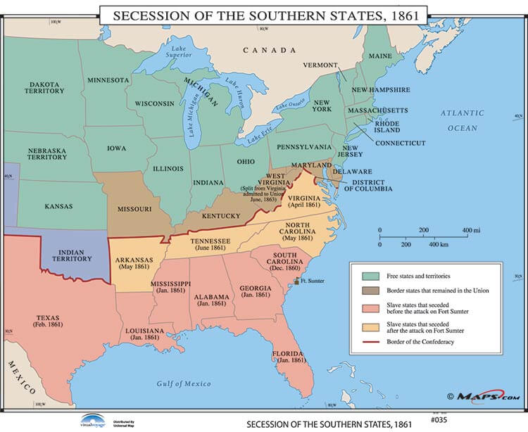 Secession of Southern States
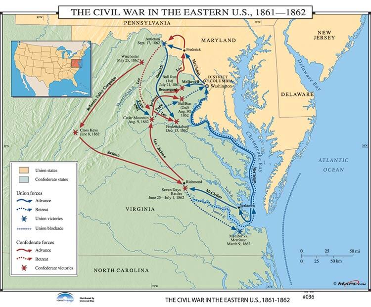 The Civil War in the Eastern U.S.
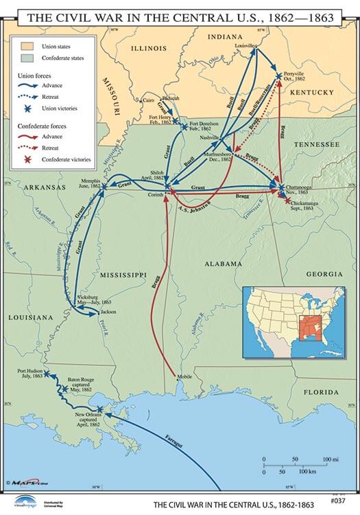 The Civil War Central U.S.
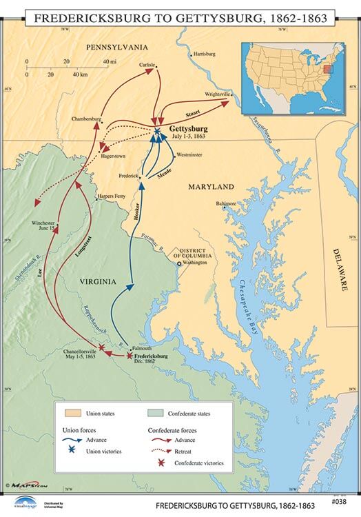 The Gettysburg Campaign
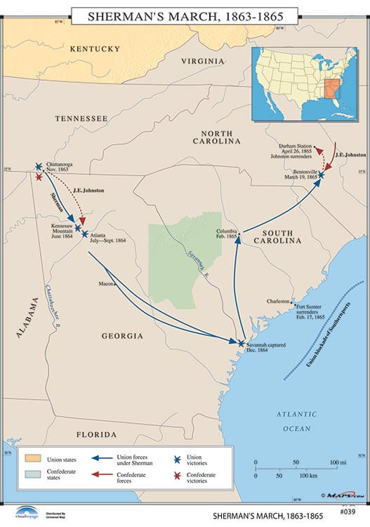 Sherman's March
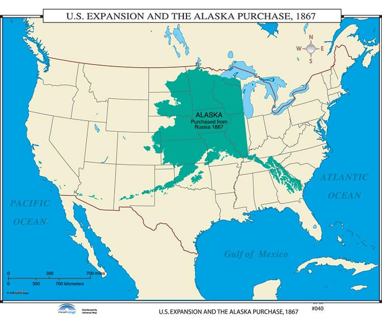 U.S. Expansion and the Alaska Purchase
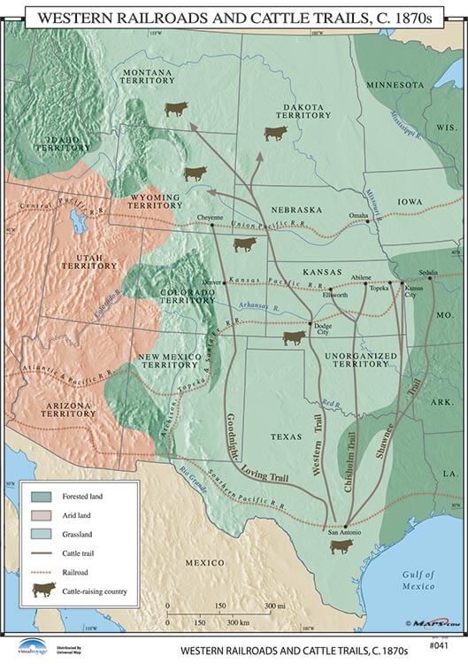 Western Railroads and Cattle Trails, c. 1870's
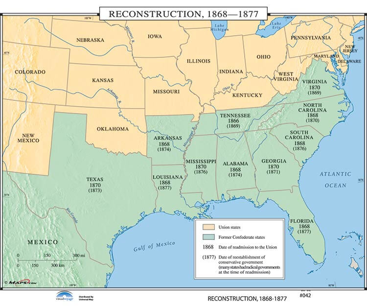 The Reconstruction
 Immigrants to the United States, 1890
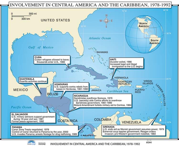 US Intervention Latin America & Caribbean
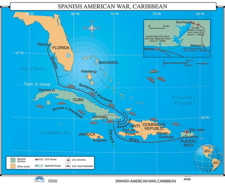 Spanish/American War, Caribbean
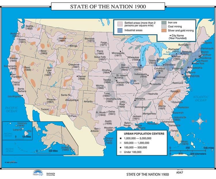 State of the Nation 1900
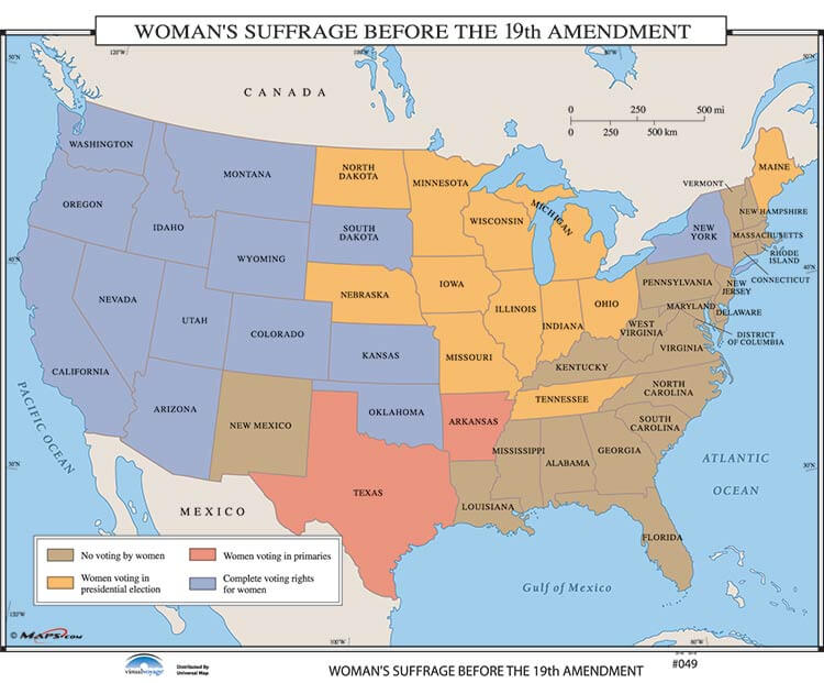 Woman Suffrage Before the 19th Amendment 1919
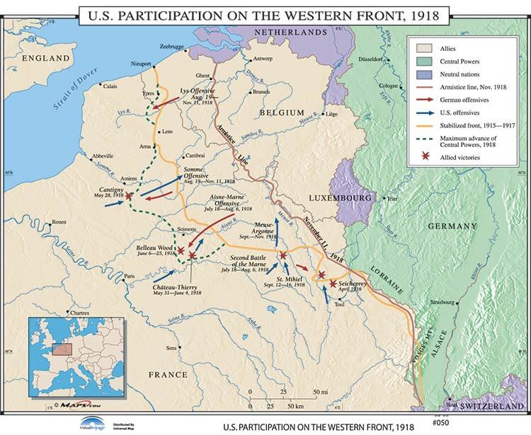 U.S. Participation on the Western Front
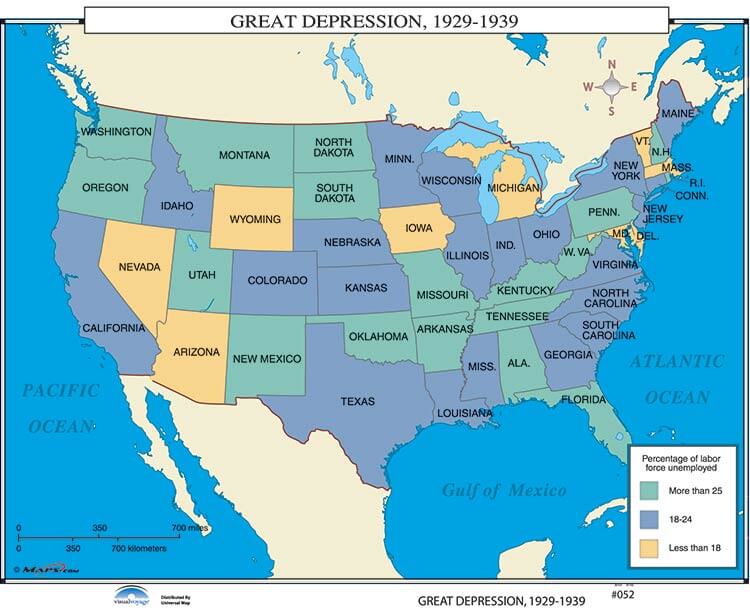 Great Depression
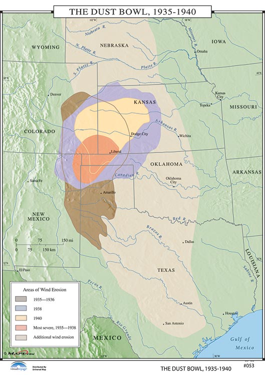 The Dust Bowl, 1935-1940
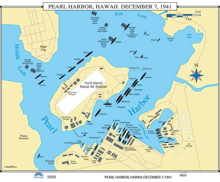 Pearl Harbor, Hawaii: Dec 7, 1941
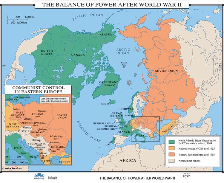 The Balance of Power After World War II
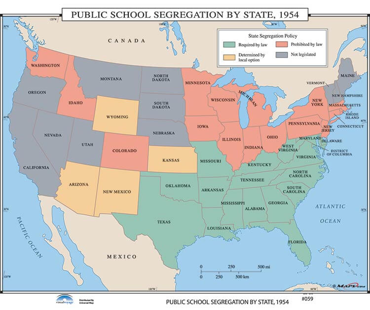 Public School Segregation by State
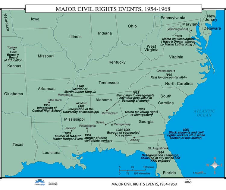 Major Civil Rights Events
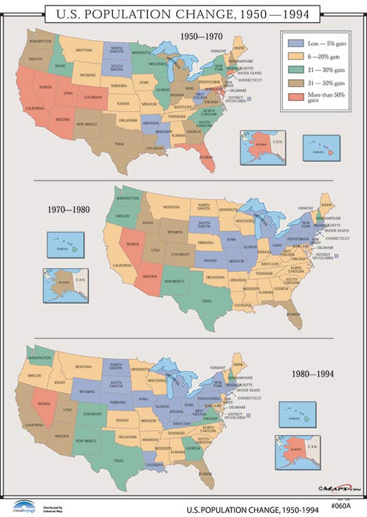 U.S. Population Changes 1950-1994
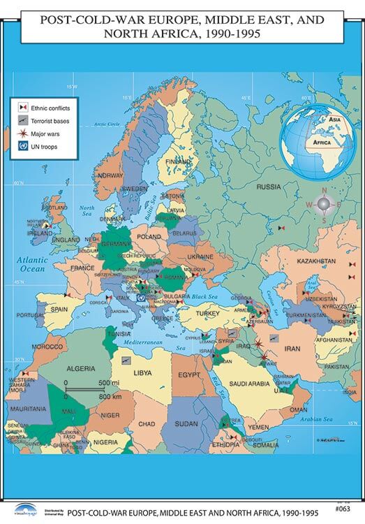 Post War Europe, Middle East and North America
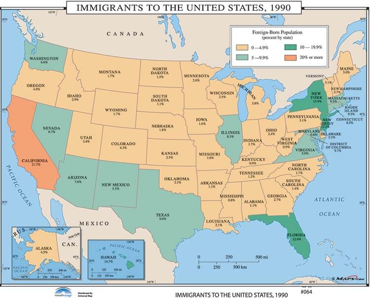 Immigrants to the United States, 1990
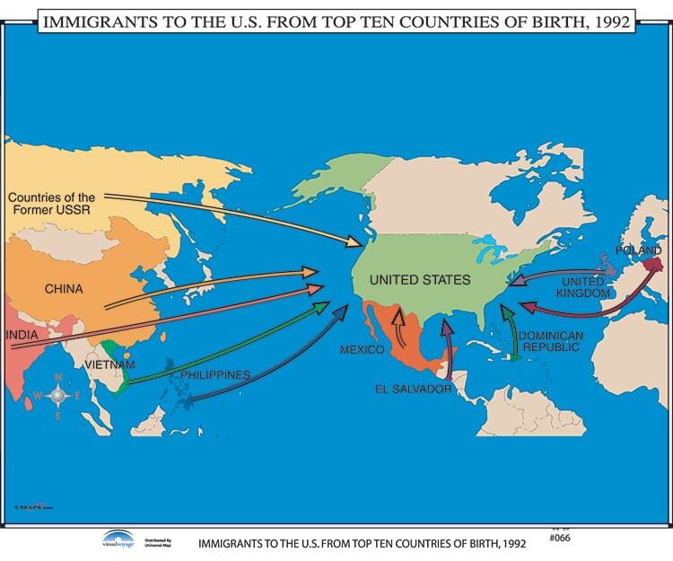 Immigrants to the U.S. from Top Ten Countries, 1992
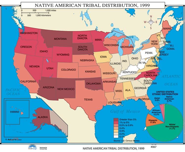 Native American Tribal Distribution
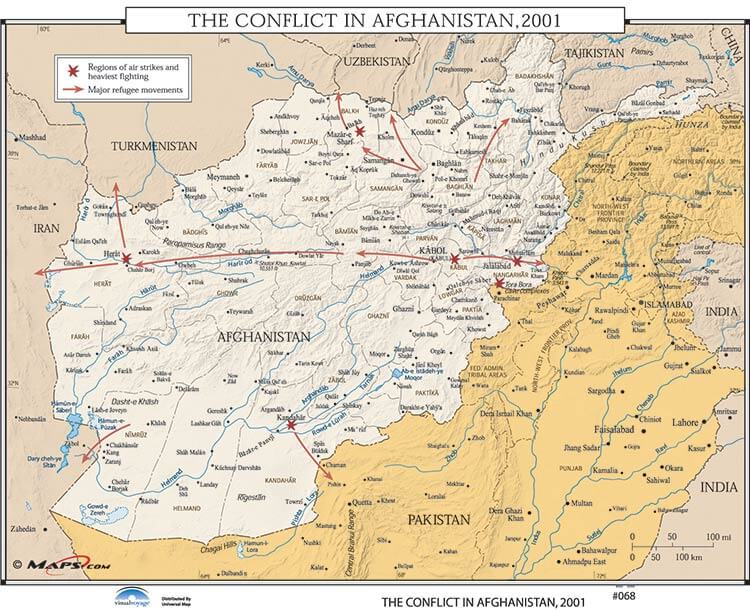 The Conflict in Afghanistan, 2001
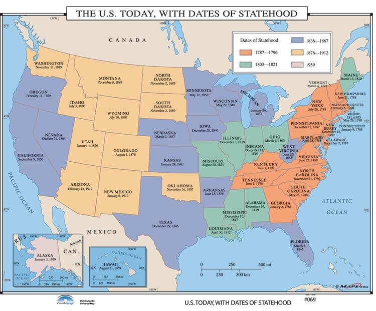 U.S. Today, with Dates of Statehood
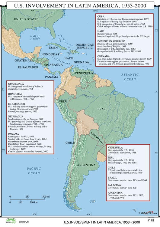 U.S. Involvement in Latin America, 1953-2000

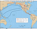 Possible Migration Routes of the First Americansu-30002
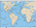 Early Voyages of Explorationu-30005
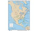 European Exploration of North Americau-30008
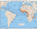 Slave Trade Routes, 1400's-1800'su-30011
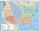 Native American Cultures, 1500'su-30014
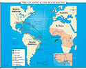 The Atlantic Slave Trade Routesu-30017
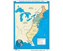 English Colonial Settlements, 1600'su-30020
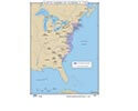 Native American Nations, c. 1750u-30023
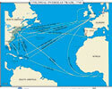 Colonial Overseas Tradeu-30026
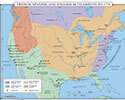 Fr., Sp. & English Settlements to 1776u-30029
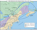 The French and Indian Waru-30032
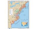 Settlement by Ethnic Group, c. 1755u-30035
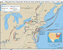 Revolutionary War in the North and Westu-30038
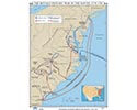 The Revolutionary War in the South, 1778-1781u-30041
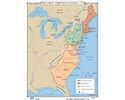 The First Thirteen Statesu-30044
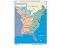 State Claims to Western Landsu-30047
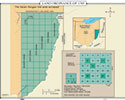 Land Ordinance of 1785u-30050
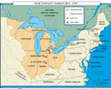 Northwest Territoryu-30053
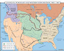 Louisiana Purchase, Western Exploration Routesu-30056
 War of 1812u-30059
 Oregon Countryu-30062
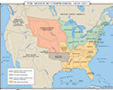 The Missouri Compromiseu-30065
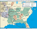 Removal of American Indiansu-30068
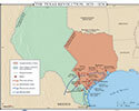 Texas Revolution, 1835-1836u-30071
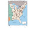 Principal Rivers, Roads, and Canals, c. 1840u-30074
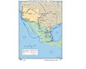 Mexican War, 1846-1848u-30077
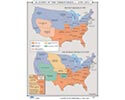 Status of Slavery in the Territoriesu-30080
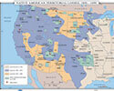 North American Indian Territorial Losses, 1850-1890u-30083
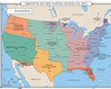 Growth of the United States to 1853u-30086
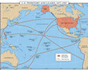 U.S. Territory and Leasesu-30089
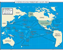 U.S. Territory as of 1900u-30092
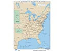 Expansion of the Railroads to 1860u-30095
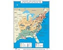 Industry and Agriculture in the North & Southu-30098
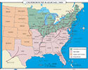 Underground Railroadu-30101
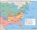 Secession of Southern Statesu-30104
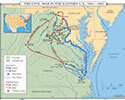 The Civil War in the Eastern U.S.u-30107
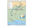 The Civil War Central U.S.u-30110
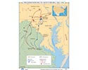 The Gettysburg Campaignu-30113
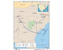 Sherman's Marchu-30116
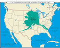 U.S. Expansion and the Alaska Purchaseu-30119
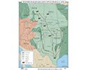 Western Railroads and Cattle Trails, c. 1870'su-30122
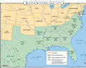 The Reconstructionu-30125
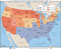 Immigrants to the United States, 1890u-30128
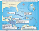 US Intervention Latin America & Caribbeanu-30131
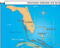 Spanish/American War, Caribbeanu-30137
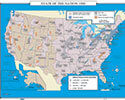 State of the Nation 1900u-30140
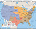 Woman Suffrage Before the 19th Amendment 1919u-30146
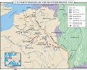 U.S. Participation on the Western Frontu-30149
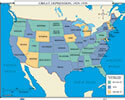 Great Depressionu-30155
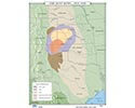 The Dust Bowl, 1935-1940u-30158
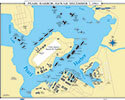 Pearl Harbor, Hawaii: Dec 7, 1941u-30164
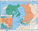 The Balance of Power After World War IIu-30170
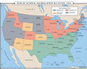 Public School Segregation by Stateu-30176
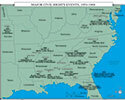 Major Civil Rights Eventsu-30179
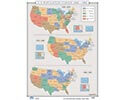 U.S. Population Changes 1950-1994u-30223
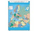 Post War Europe, Middle East and North Americau-30188
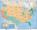 Immigrants to the United States, 1990u-30191
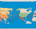 Immigrants to the U.S. from Top Ten Countries, 1992u-30197
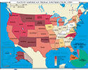 Native American Tribal Distributionu-30200
 The Conflict in Afghanistan, 2001u-30203
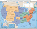 U.S. Today, with Dates of Statehoodu-30206
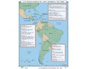 U.S. Involvement in Latin America, 1953-2000u-30470