


Digital World Atlas - Klett-Perthes School Wide Site License - Fully Interactive World & Human Geography Atlas
Item is no longer available
Availability:
Item has been discontinued and is no longer available
Description
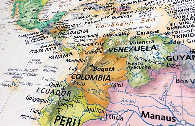
An excellent and extremely comprehensive world atlas from Klett-Perthes offered here in an interactive electronic format for use on both Windows and Mac computer operating systems. This advanced atlas contains nearly 200 high quality political, physical, and thematic maps that will meet the requirements of even the most rigorous of geography lesson plans. Recommended for World Regional Geography, Human Geography, as well as an Introduction to Geography.
This colorful and richly informative digital world atlas offers instructive insights to the complex issues and processes of the modern world. Every map can be projected on to a screen or used with an interactive whiteboard in your classroom as well as viewed on individual computers. A school wide site license means you can install the atlas on every machine in the school or make it available on your school network rather than purchase an individual copy for each computer. As this is a stand alone software product that can be installed on individual computers or deployed on a centralized server, an Internet connection is not required for use of this product.
Features an excellent user-friendly interactive interface with zoom and pan tools, a drawing tool to quickly mark or highlight an area, and ability to save each map as a JPEG image file. Maps can be viewed by region or topics. View the complete list of maps found in this atlas below.
Atlas Covers the following:
- Rich Thematic Coverage: geography, climate, vegetation, and more.
- Maps Compiled Using Current Data: example: climate maps based on the same classification system used by leading scientific institutes conducting research on global climate change.
- Logical Concise Cartographic Design: read many different dimensions of a given topic from each map.
- Map Skills: intro w/ concrete examples of how to read and interpret maps using lots of graphics.
| World Maps | ||
| Political | Time Zones | Income Inequality |
| Physical | Energy Resources | Childhood under Threat |
| Phys.- Pacific & Atlantic | Population Density | Female Income |
| Landforms | Population 2050 | Women in Govt. |
| Ocean | Population 2050 | Women in Govt. |
| Urbanization | Political Organizations | Natural Pop. Development |
| Economic Organizations | North Polar Region: Ocean Floor | Migration |
| United Nations | South Polar Region: Ocean Floor | Life Expectancy |
| European Union | Continental Drift | Education |
| Violent Conflicts | Plate Tectonics 1:160,000,000 | Gross Domestic Product |
| Income Inequality | Earthquakes | Human Development |
| Childhood Under Threat | Earthquakes | Human Development |
| Volcanism & Geotectonic Processes | Male/Female Ratio | Female Income |
| Climate | Population by Age | Women in Government |
| Precipitation in January | Health | Political Organizations |
| Average Annual Precipitation | Employment by Sector | United Nations |
| Precipitation Variability | Employment of Women | European Union |
| Water Resources 2000 | International Tourism Receipts | Violent Conflicts |
| Water Resources 2025 | International Tourist Flows | Income Inequality |
| Water Use by | Religions | Energy Consumption |
| Water Stress | Official Languages | Export Concentration |
| Temperatures in January | Ethnic Diversity | Trade in Agricultural Products |
| Temperatures in July | Cultural Regions | Trade in Mining Products |
| Air Pressure & Winds in Jan. | Government Expenditures | Trade in Manufactured Goods |
| Air Pressure & Winds in July | Military Expenditures | Telecommunication |
| Eco-zones | Foreign Direct Investment | Carbon Dioxide Emission |
| Soils | Foreign Aid | Freedom and Democracy |
| Biodiversity | Debt Burden | The World from Washington, D.C. |
| Agriculture | Displaced Persons | Population Density |
| Desertification | Nutrition | Population 2050 |
| Deforestation | Hunger | Urbanization |
| Environments | Natural Resources | Natural Pop. Development |
| Natural Hazards | Agricultural Resources | Migration |
| Life Expectancy | Violent Conflicts | |
| North America Maps | ||
| Physical | Environments | Economy |
| Political | Environments | Ethnic Groups |
| Climate | Natural Hazards | Canada Physical |
| Canada Political | U.S.A. Physical | U.S.A. Political |
| U.S.A. Political | Canada Southwest | Canada South Central |
| Canada Southeast | U.S.A. Northwest | U.S.A. Southwest and Hawaii |
| U.S.A. North Central | U.S.A. South Central | U.S.A. Northeast |
| U.S.A. Southeast, Outlying Territories | Central America | |
| South America Maps | ||
| Physical | Environments | Economy |
| Political | Ethnic Groups | Climate |
| Protected Forests | Northern South America | Southern South America, Lesser Antilles |
| Europe Maps | ||
| Physical | Environments | Economy |
| Political | Ethnic Groups | Climate |
| Tourism | British Isles, Faroe Islands | Northern Scandinavia, Iceland |
| Southern Scandinavia, Baltic States | Central Europe | Spain & Portugal |
| France | Italy | Southern Balkan States |
| Southeastern Europe, Turkey & Caucasian States | Central European Russia | Northern European Russia |
| Southeastern Europe, Turkey & Caucasian States | Central European Russia | Northern European Russia |
| Asia Maps | ||
| Physical | Environments | Economy |
| Political | Ethnic Groups | Climate |
| Population Density | Russia and Central Asia | Southwestern and South Asia |
| Middle East | Eastern Asia | Southeastern Asia |
| Australia Maps | ||
| Environments | Physical | Climate |
| Political | Ethnic Groups | Economy and Foreign Trade |
| Australia & New Zealand | Australia & Oceania: Environ. | Australia and Oceania: Physical |
| Africa Maps | ||
| Physical | Environments | Economy |
| Political | Ethnic Groups | Climate |
| Eco-regions | Northern Africa | Southern Africa |
| Polar Region Maps | ||
| North Polar Region: Physical | North Polar Region: Political | North Polar Region: Physical |
| South Polar Region: Physical | South Polar Region: Political | |
We use top-notch materials printed on demand using the Giclée printing method, so you get amazing detail and bright colors every time.
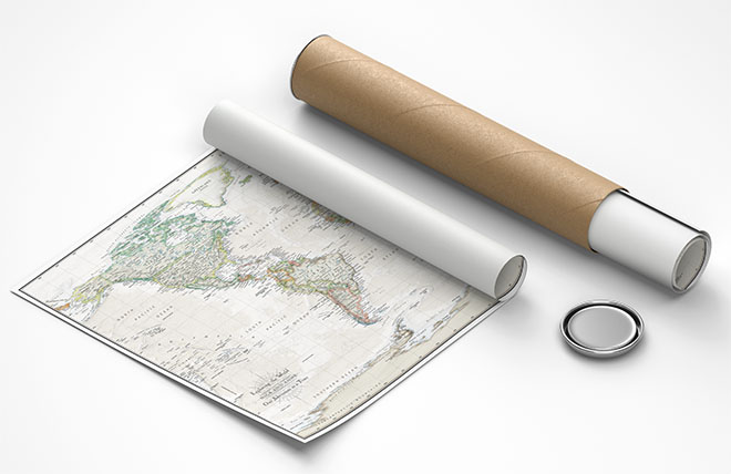
Gallery quality map prints made in the USA
We specialize in producing high-quality, detailed maps using advanced printing technologies and premium materials. Stringent quality control and ultra-high-resolution printing guarantee absolute clarity and precise detail at any size. Whether it's a smaller wall map print or a gigantic wallpaper map mural, no print will appear blurry or pixelated. You can expect every detail on the map to be sharp and clear.
Finely Crafted Cartographic Works of Art
Many of the maps we provide are created by our small team of cartographers under the name Academia Maps.
Museum Quality Materials
We source the best materials for our map prints and wallpaper maps. Premium archival inks guarantee rich vibrant colors with excellent fade resistance.
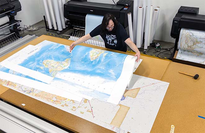
USA Print Production
We are a small business located in Seattle, WA that has been printing maps for over 15 years. Each map is printed on-demand using high-end fine art printers.
Shipping Costs
Free Ground Shipping within the contiguous United States and a flat rate of $20.00 to AK and HI.
Canada via UPS Standard is $40.00 USD.
Worldwide Shipping is available and shipping costs will be calculated at checkout.
Shipping Times
Most items are made to order and ship from our Seattle, WA facility. Typical production lead times are listed below. Shipping transit time is 2-5 business days depending on the delivery location. If you need your map by a certain deadline please contact us for expedited options.
Archival Paper, Laminated Maps, and Peel & Stick - 5-7 business days
Wood Rail Mounting - 3-4 weeks
Canvas Gallery Wraps & Framed Maps - 3-5 business days
Push Pin Maps - 3-5 business days
Spring Roller Maps - Varies, see product description
Wallpaper Map Murals - 7-10 business days
Returns
If you are unhappy with your order for any reason you can return it within 30 days of the delivery date. Customized items are non-returnable.
Return requests are rare for us and we are confident that you will be 100% satisfied with your purchase. We are a 5-Star seller on Etsy and have hundreds of 5-star reviews.
Yes, we can produce a majority of the map titles found on our website in a custom size. If you would like to request a custom size, take note of the map title and item#, then follow one of the links below to make your request. We will follow up with a link to checkout.
(for rolled or mounted prints)
(for larger peel & stick / wallpaper maps)
We accept purchase orders from schools and government entities. You can e-mail a copy of your PO to [email protected].
View more information and download our W-9.
No problem, send a screenshot or PDF of your shopping cart to [email protected] and will promptly follow up with a quotation.
Our products are printed on demand and have the following production lead times:
Archival Paper, Laminated Maps, and Peel & Stick - 5-7 business days
Wood Rail Mounting - 3-4 weeks
Canvas Gallery Wraps & Framed Maps - 3-5 business days
Spring Roller Maps - Varies, see product description
Shipping transit time is 2-5 business days and will vary depending on your location. Most products ship from Seattle, WA.
Many of the maps found on our website can be customized, including adding a personalized title/legend or company logo, modifying the color scheme, change text labels, adding points of interest, and placing GIS data on the map.
If the order is shipping outside of Washington state, sales tax may not apply. We collect sales taxes per state and local laws. Sales tax is calculated at checkout based on the delivery address.
We can ship to nearly any country. The shipping cost is determined for Canada and most European countries at checkout. If you find that shipping is unavailable to your country when checking out then please contact us with a list of the products you would like to order as well as size and material options.
We can produce a custom map for any location in the world. Whether you are looking for a detailed city street map or high resolution satellite imagery of a remote area, we have you covered.
You may also like


Made in The USA
Our wall maps and wallpaper map murals are handcrafted by our small team in Seattle, WA.

School Purchase Orders
We accept purchase orders from schools and other government institutions. Learn more here.

High Quality Materials
Maps are printed on premium fine art papers, canvas, and durable wallcovering materials using archival inks.

Stunning Cartography
Original and up-to-date maps designed by our cartographic team at Academia Maps include a range of high quality maps for geographic exploration, home decor, and classroom learning.