Earth Science Info Maps and World Advanced Physical Spring Roller Combo Map Set - 63" x 53" - from Klett-Perthes
Description
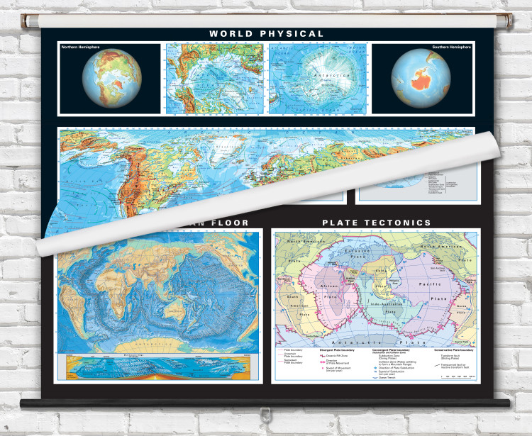
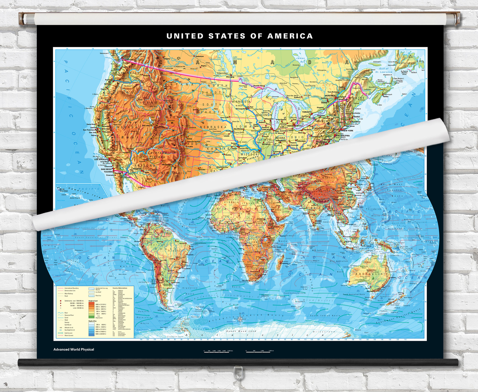
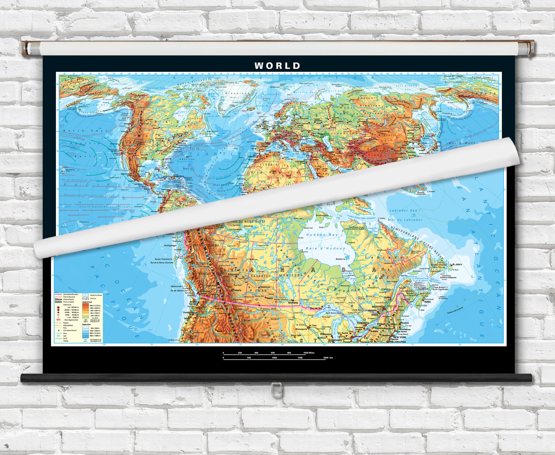
This 2-map combo set was designed for teaching Earth sciences to students in grades 6-12+. The combo set features an Advanced World physical map combined with a thematic map which discusses world tectonic processes and continental drift using colorful detailed illustrations.
Explore:- Plate Tectonic processes in Earth's outer layers - upper & lower Lithosphere and Asthenosphere.
- Continental Drift map includes comparisons of the world at Permian period, Cretaceous period, and earth at present. Estimated plate movement 50 million years from now.
- Tectonic Plates map illustrates convergent, divergent, and transform (conservative) plate boundaries.
- Relief map of the ocean floor depicts ridges, basins, rifts as well as a detailed profile of the sea floors physical characteristics.
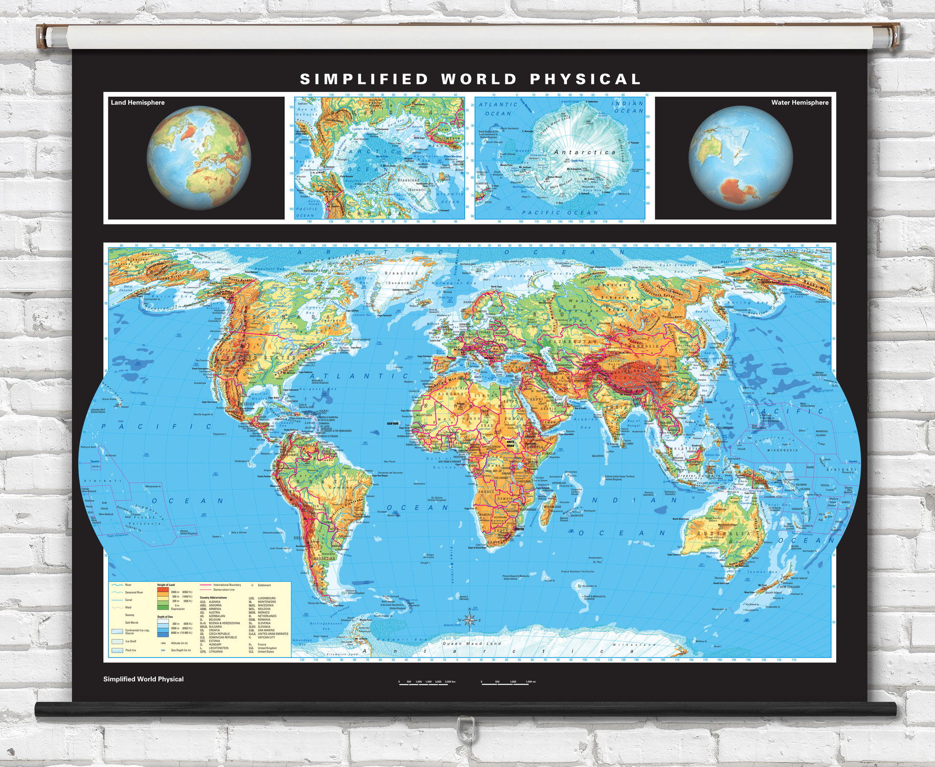
The included physical world map features colorful shading representing topographical relief as well as ocean depths. Labels warm and cold ocean currents and features insets for Arctic and Antarctic polar regions as well as Northern Hemisphere and Southern Hemisphere spherical projections.
Maps are laminated and mounted mounted on a durable metal spring roller with metal backboard. Ready to hang on existing classroom map mounting hardware, or mounting hardware can be purchased separately.
Dimensions: 63" x 53"

Made In The USA

School Purchase Orders


