South America Physical Classroom Map on Spring Roller by Klett-Perthes
Description
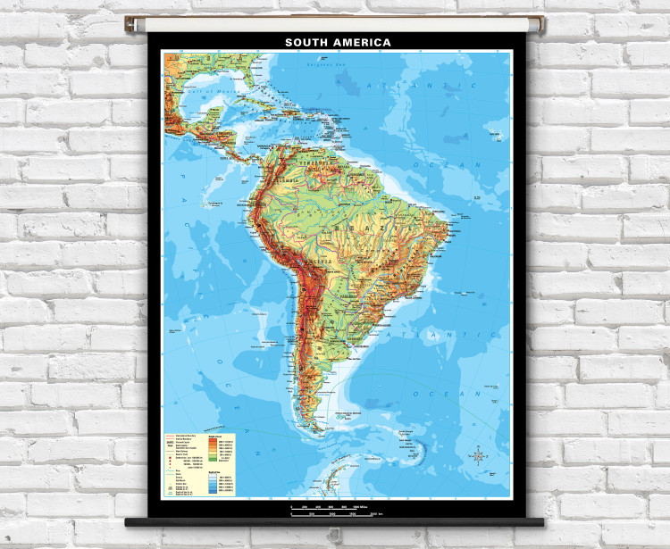
A large classroom physical map of South America featuring gorgeous hand-drawn shaded relief terrain. This hillshading is combined with colorful topographic shading (hypsometric tinting) representing elevation ranges. An informative physical map of South America that is perfect for teaching geography lessons in the classroom.
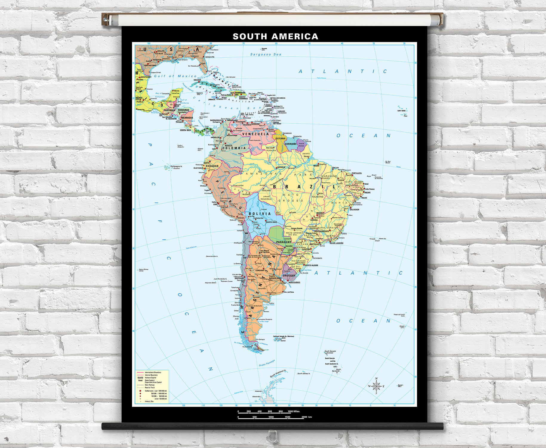
- Map labels include countries, Brazilian states, major cities, national capital cities, islands, seas, rivers, lakes, mountain ranges, and deserts.
- Features illustrated on the map include roads, railways, lakes, and rivers.
- Countries, Brazilian state boundaries are outlined.
- Topography and Bathymetry (ocean depths) are both depicted with labeling of height of land and sea depth.
- Map is fully laminated with a non-tear markable washable surface and then mounted on a durable metal retractable spring roller with metal backboard for pull-down operation.
- Ready to hang on existing classroom map mounting hardware, or wall mounting hardware can be purchased separately.
Superior quality classroom maps from German map publishers Klett-Perthes, following a tradition that is over 200 years old. Order the South America Physical Map on Spring Roller today!

Made In The USA

School Purchase Orders


