County Wall Maps
Our collection of USA County Wall Maps offers the detail and accuracy you need for business, education, and everyday reference - If you can't find the map you are looking for, we offer custom-printed city, county, and USA regional maps to match a specific area of interest or geographic radius. Each map highlights county boundaries, major highways, city and town locations, and ZIP code information, making them an essential resource for professionals and map enthusiasts alike.
Designed with clarity and readability in mind, these county maps also include detailed street data and geographic features to support planning, logistics, and analysis. They are especially useful for sales teams, delivery services, government offices, and classrooms where up-to-date county and ZIP code information is critical.
Every wall map is fully laminated with a dry-erase finish, allowing you to write on it, wipe it clean, and reuse it as often as needed. This makes them not only durable but also highly functional for territory management, scheduling, and presentations.
Whether you need a reliable reference tool or a striking wall display, our USA County Wall Maps provide a perfect combination of accuracy, durability, and professional design.
-

Alameda County, California Wall Map
Starting at $71.00 -
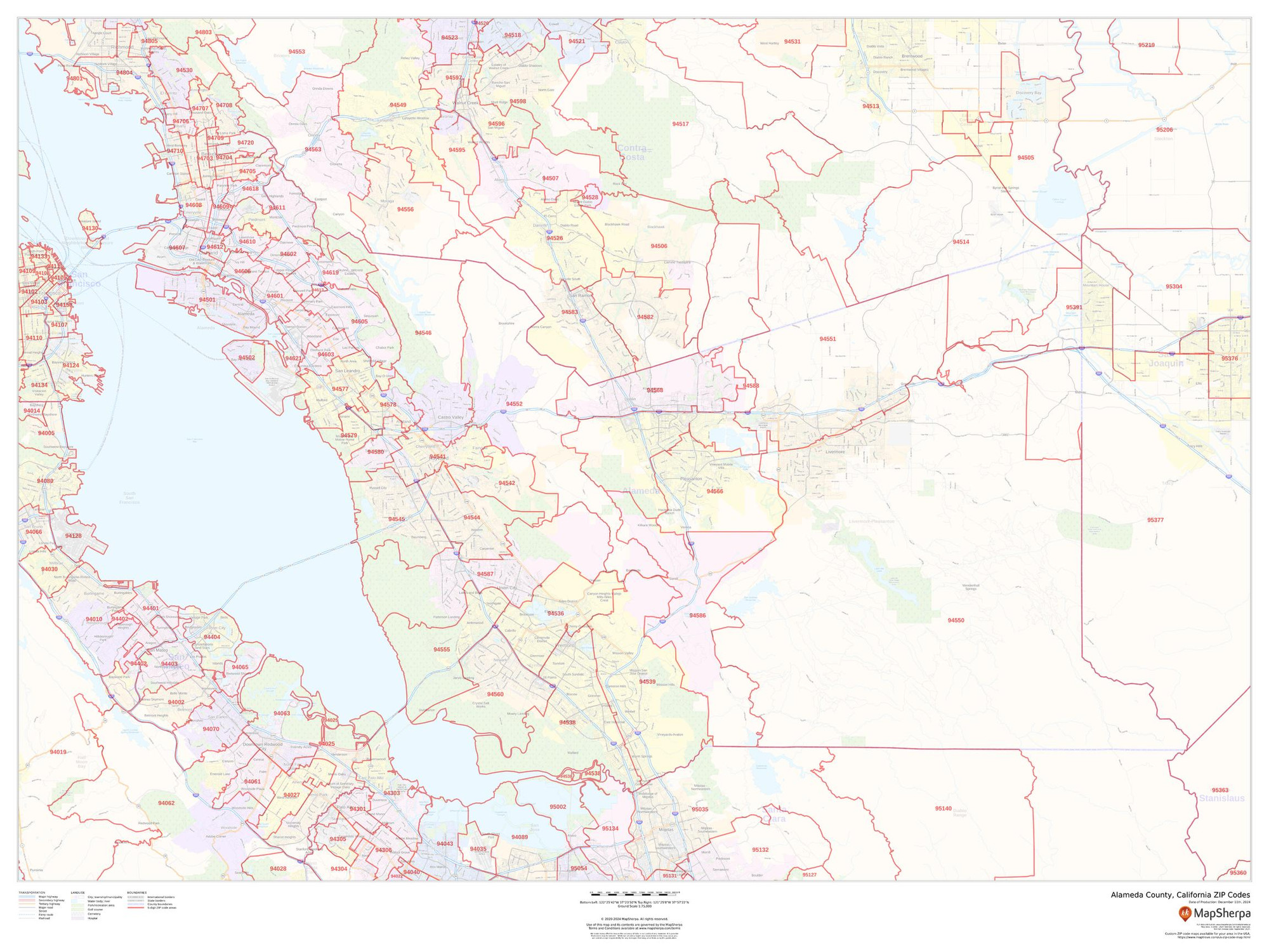
Alameda County, California ZIP Codes Wall Map
Starting at $73.00 -
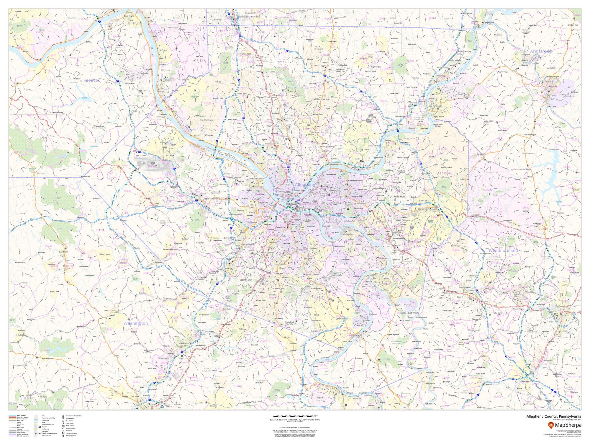
Allegheny County, Pennsylvania Wall Map
Starting at $71.00 -
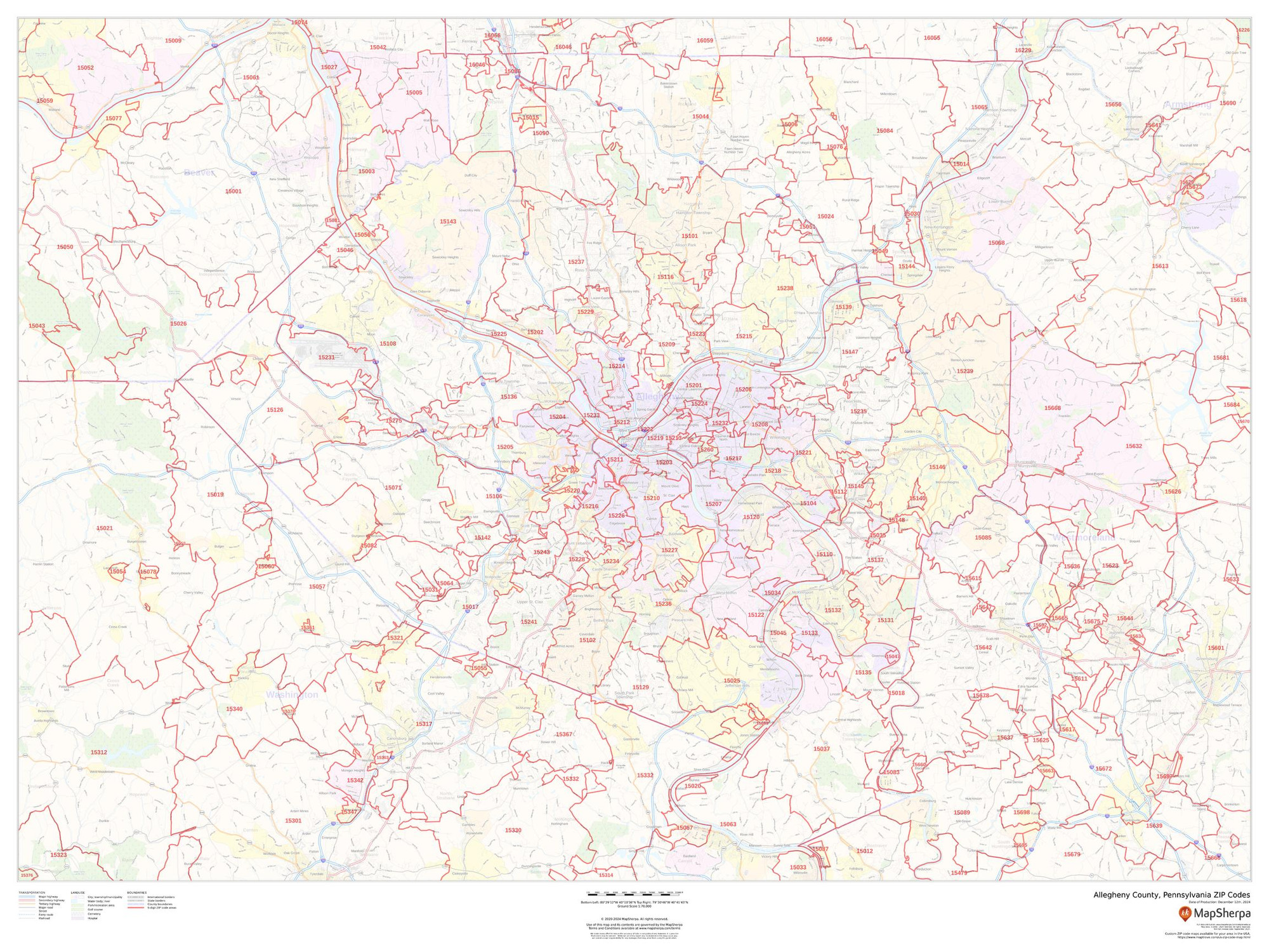
Allegheny County, Pennsylvania ZIP Codes Wall Map
Starting at $73.00 -
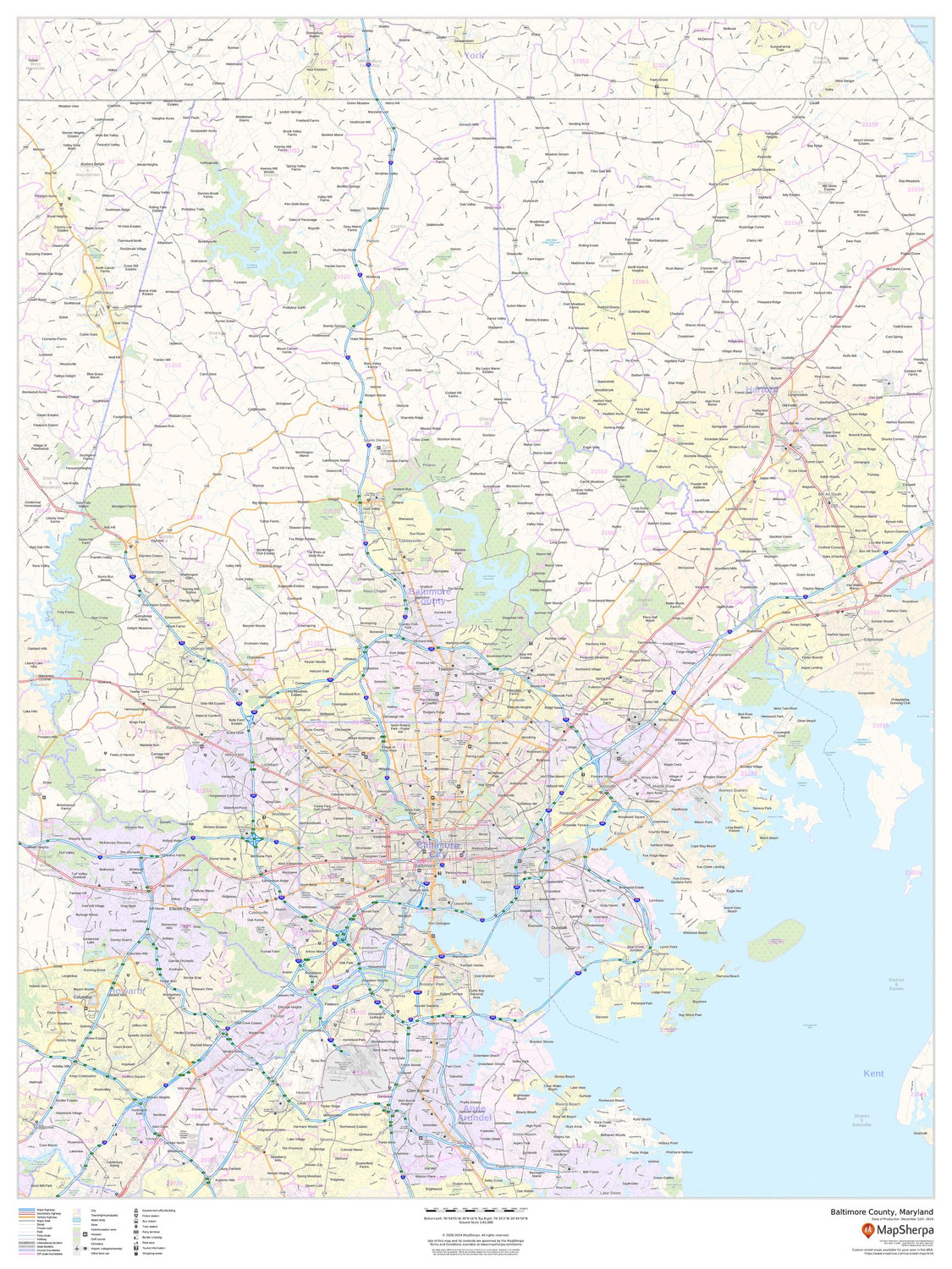
Baltimore County, Maryland Wall Map
Starting at $71.00 -
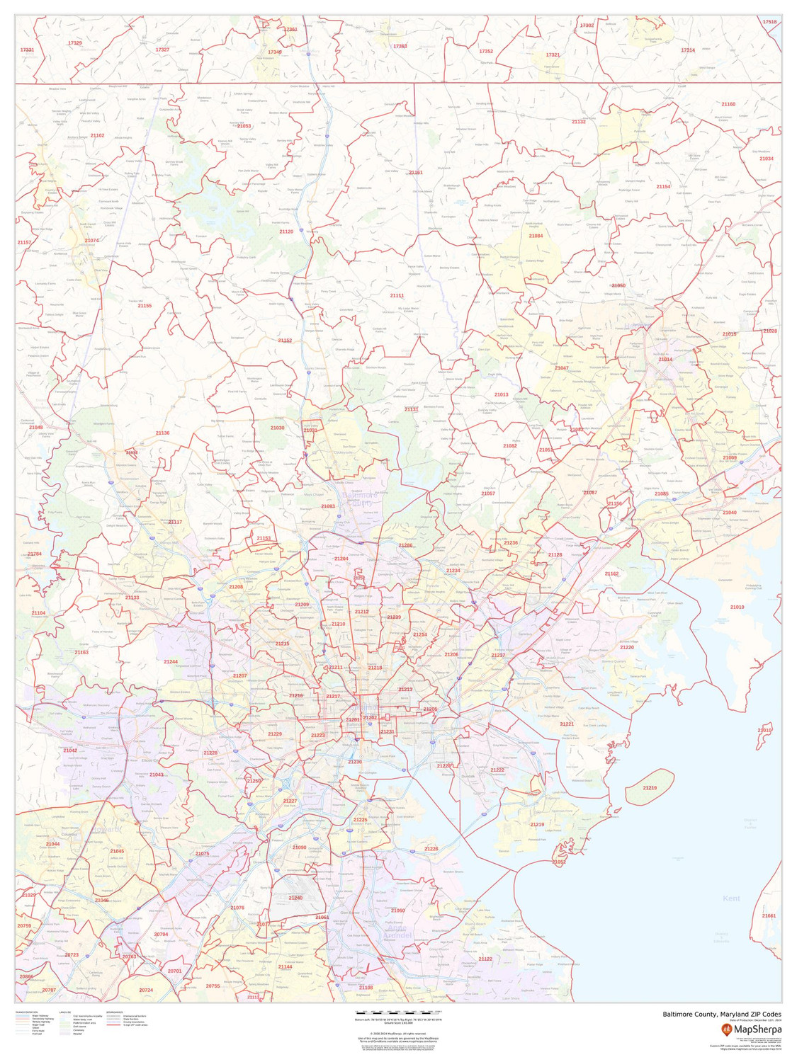
Baltimore County, Maryland ZIP Codes Wall Map
Starting at $73.00 -
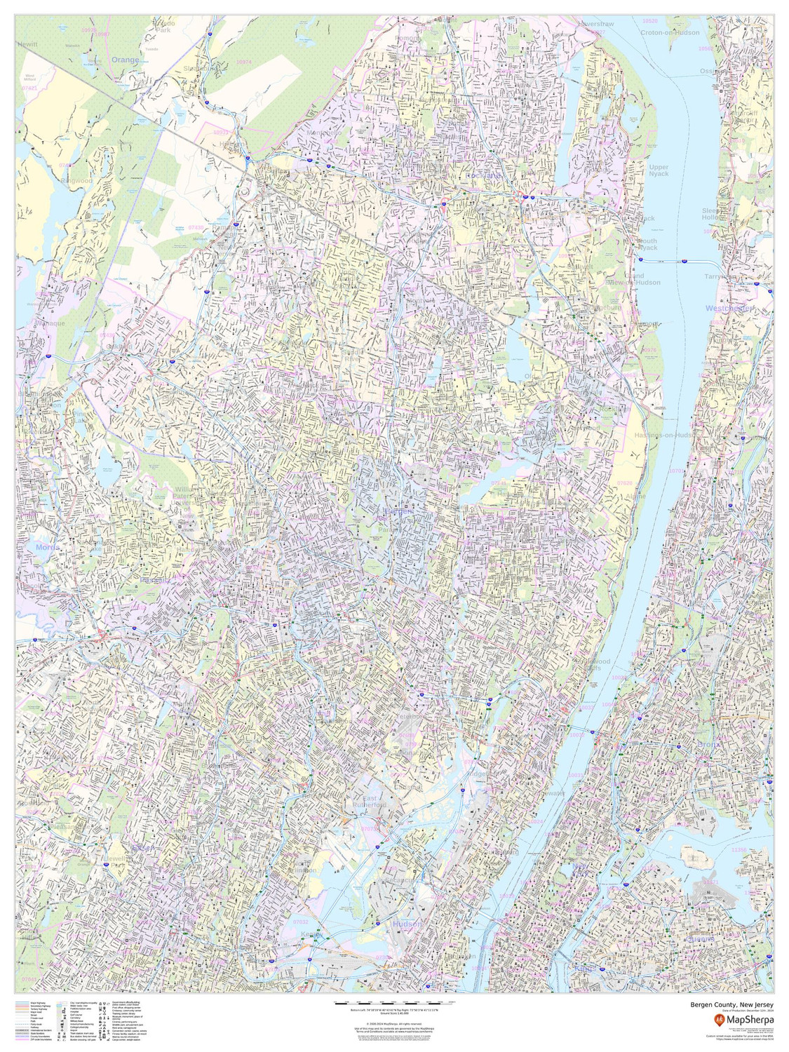
Bergen County, New Jersey Wall Map
Starting at $71.00 -
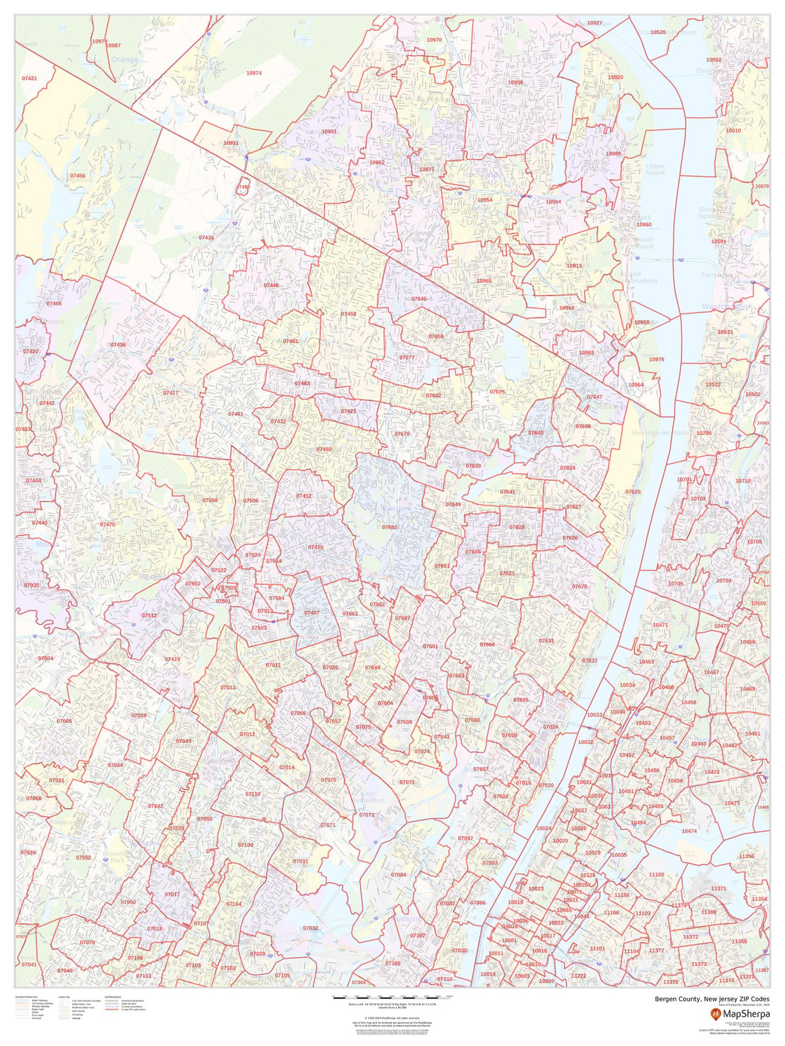
Bergen County, New Jersey ZIP Codes Wall Map
Starting at $73.00 -
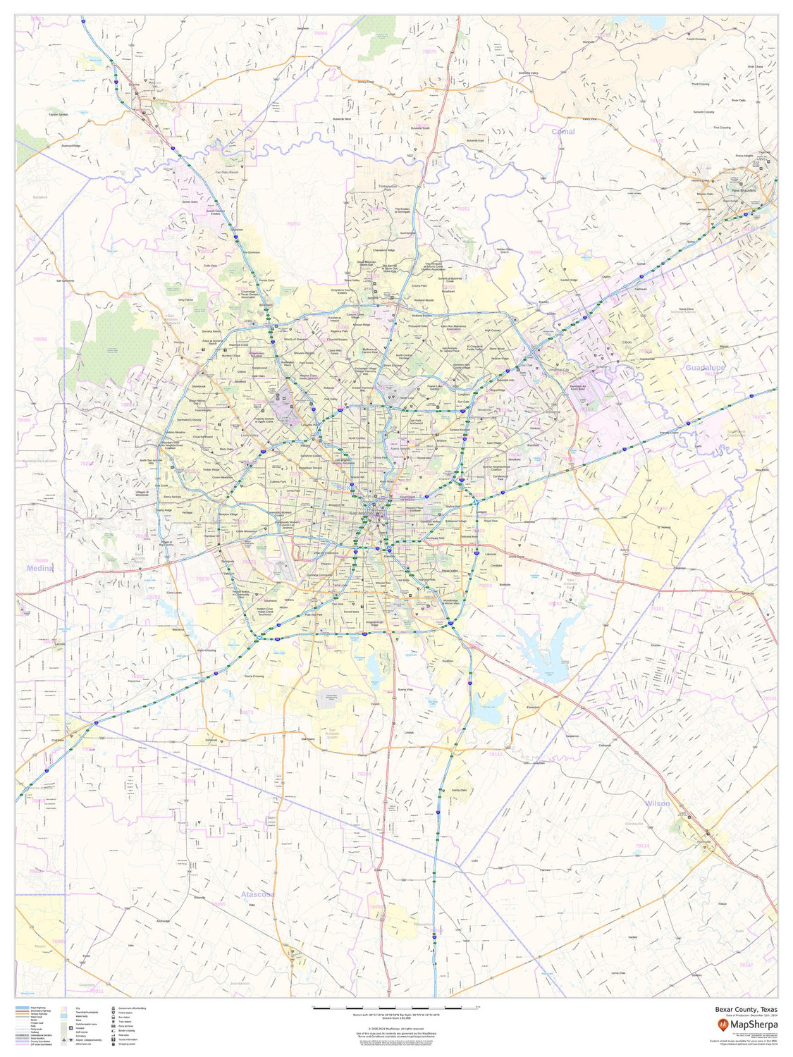
Bexar County, Texas Wall Map
Starting at $71.00 -
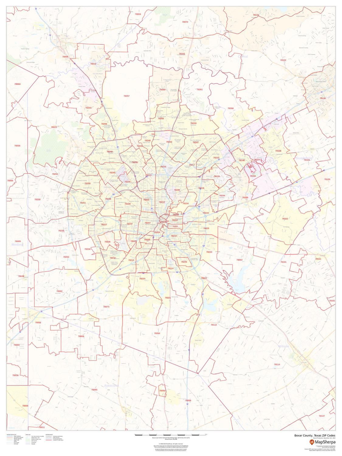
Bexar County, Texas ZIP Codes Wall Map
Starting at $73.00 -

Bronx County, New York Wall Map
Starting at $71.00 -
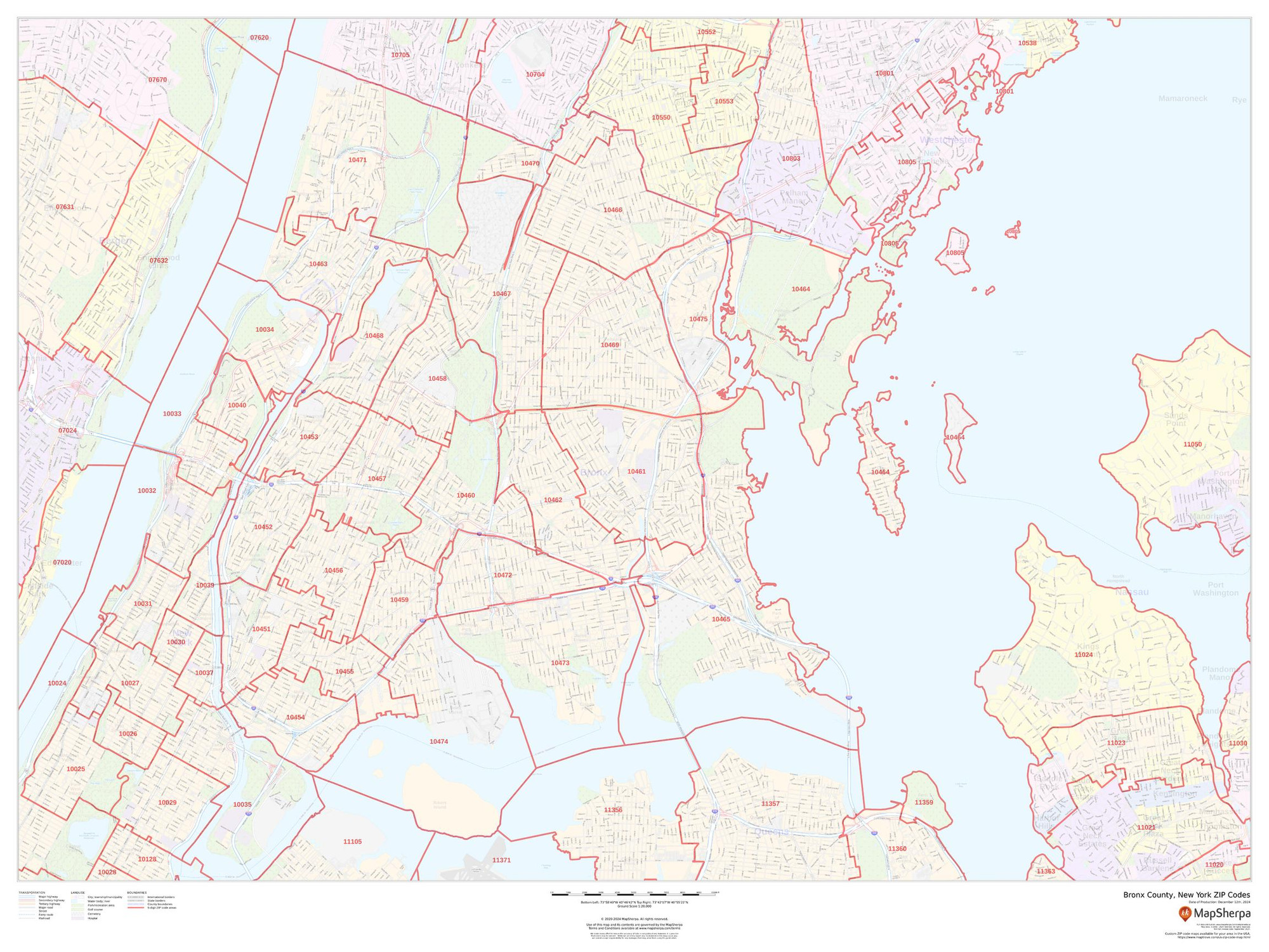
Bronx County, New York ZIP Codes Wall Map
Starting at $73.00 -
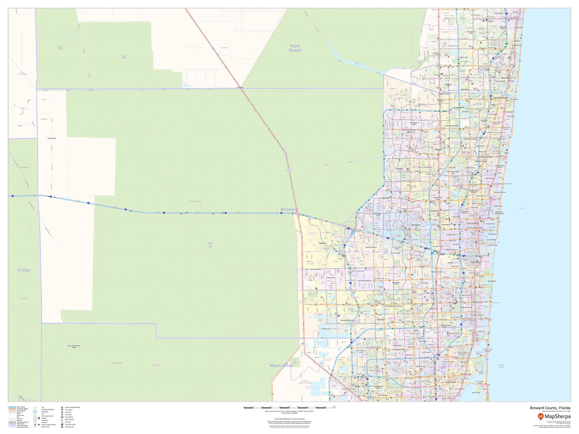
Broward County, Florida Wall Map
Starting at $71.00 -

Broward County, Florida ZIP Codes Wall Map
Starting at $73.00 -
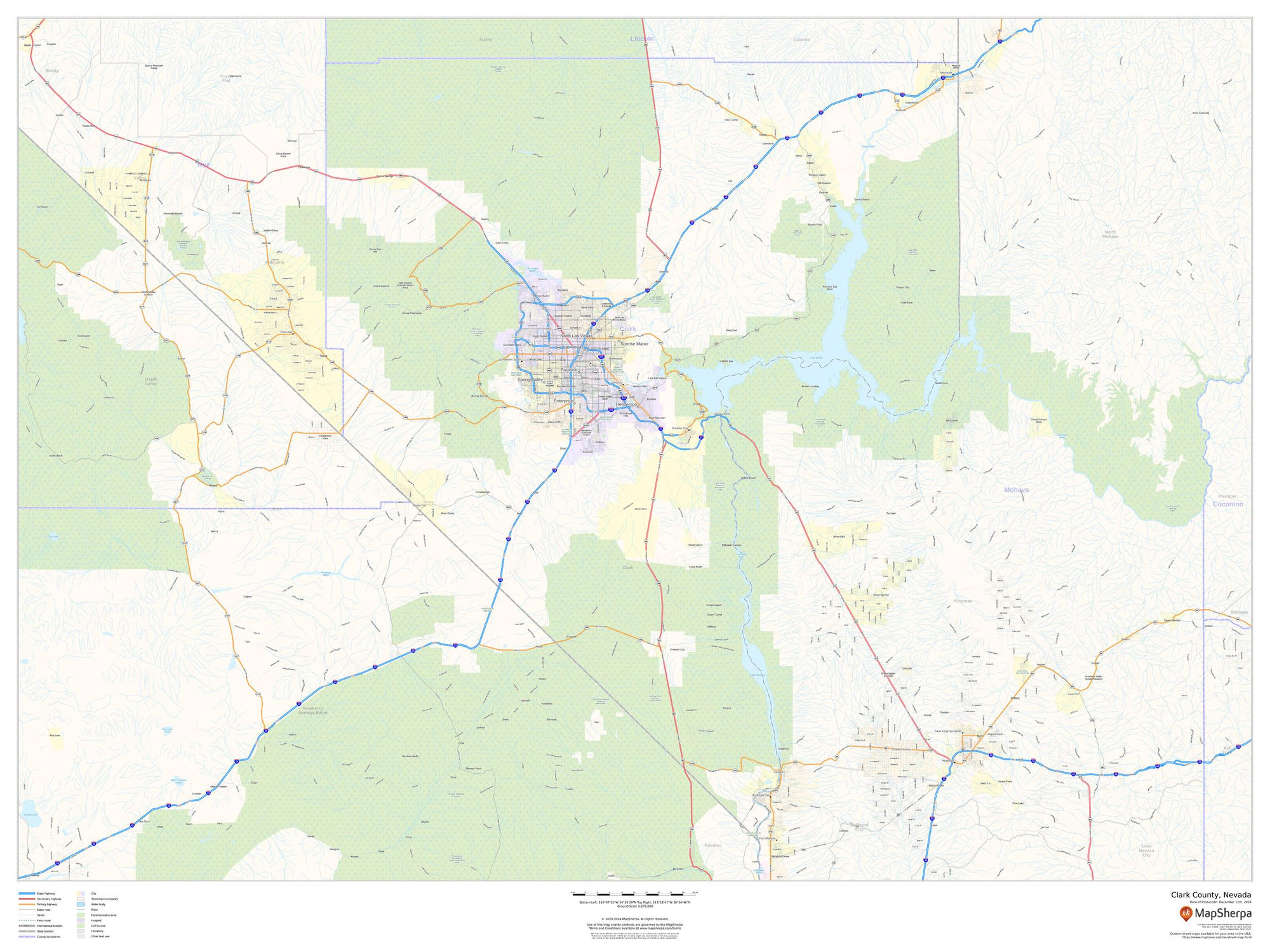
Clark County, Nevada Wall Map
Starting at $71.00 -
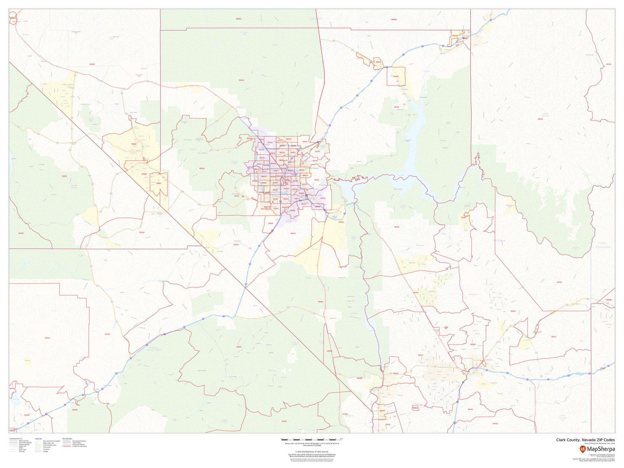
Clark County, Nevada ZIP Codes Wall Map
Starting at $73.00 -

Collin County, Texas Wall Map
Starting at $71.00 -
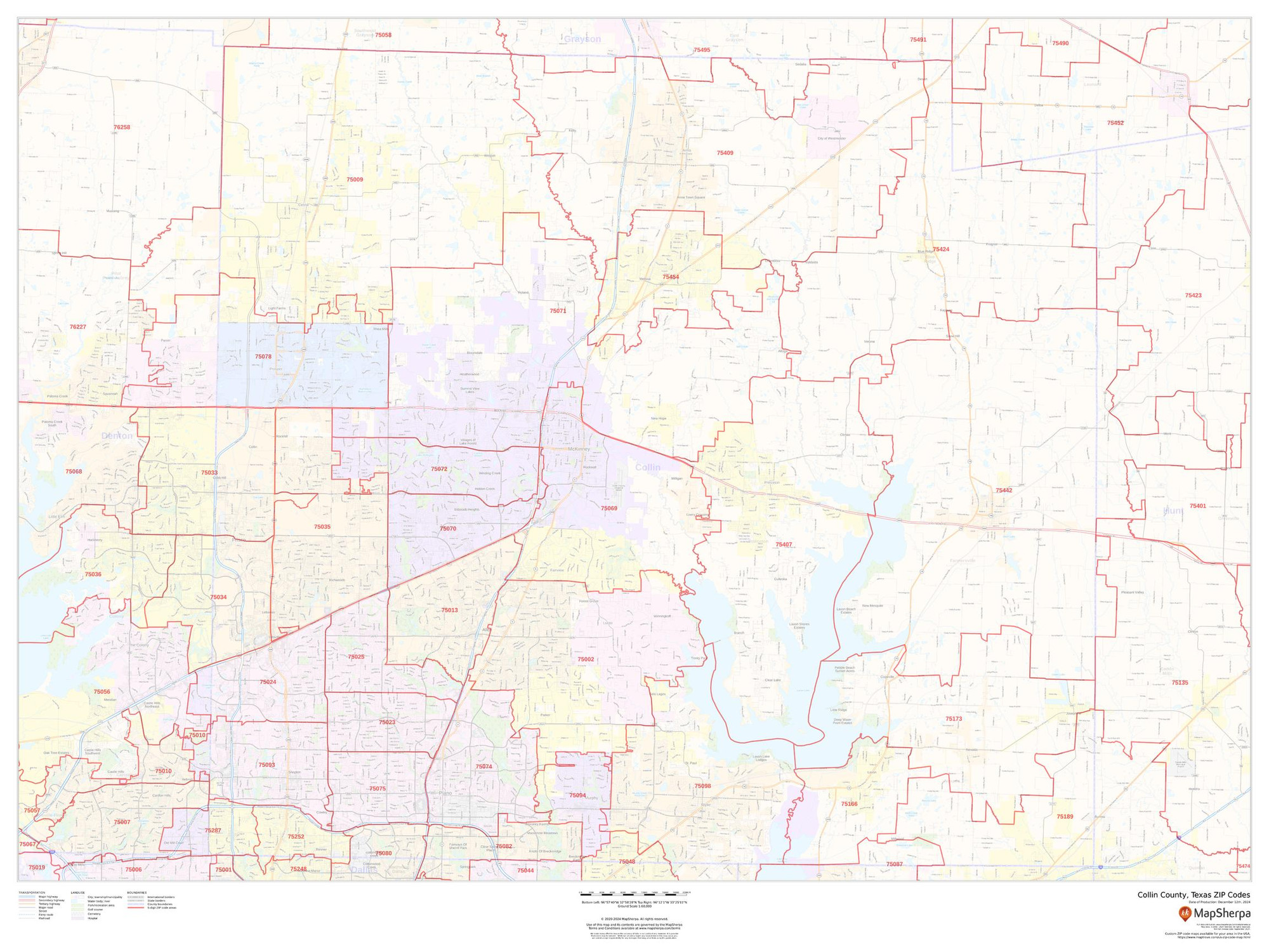
Collin County, Texas ZIP Codes Wall Map
Starting at $73.00 -
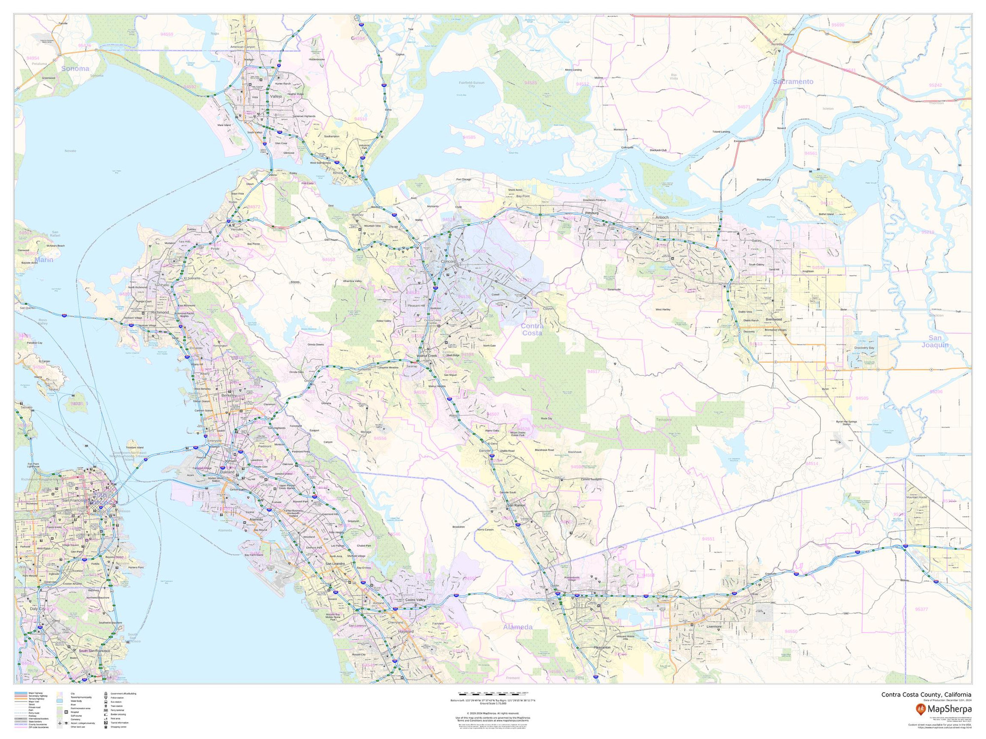
Contra Costa County, California Wall Map
Starting at $71.00 -
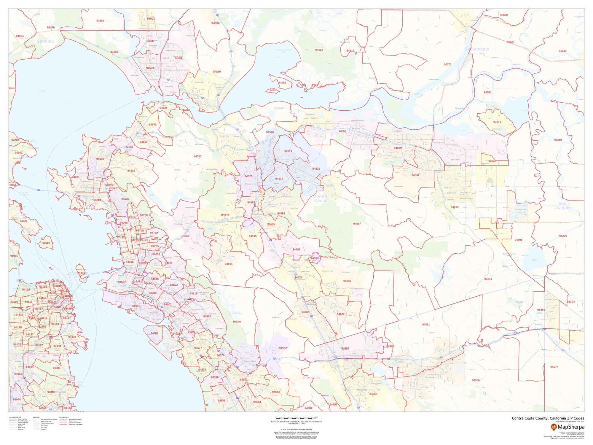
Contra Costa County, California ZIP Codes Wall Map
Starting at $73.00 -
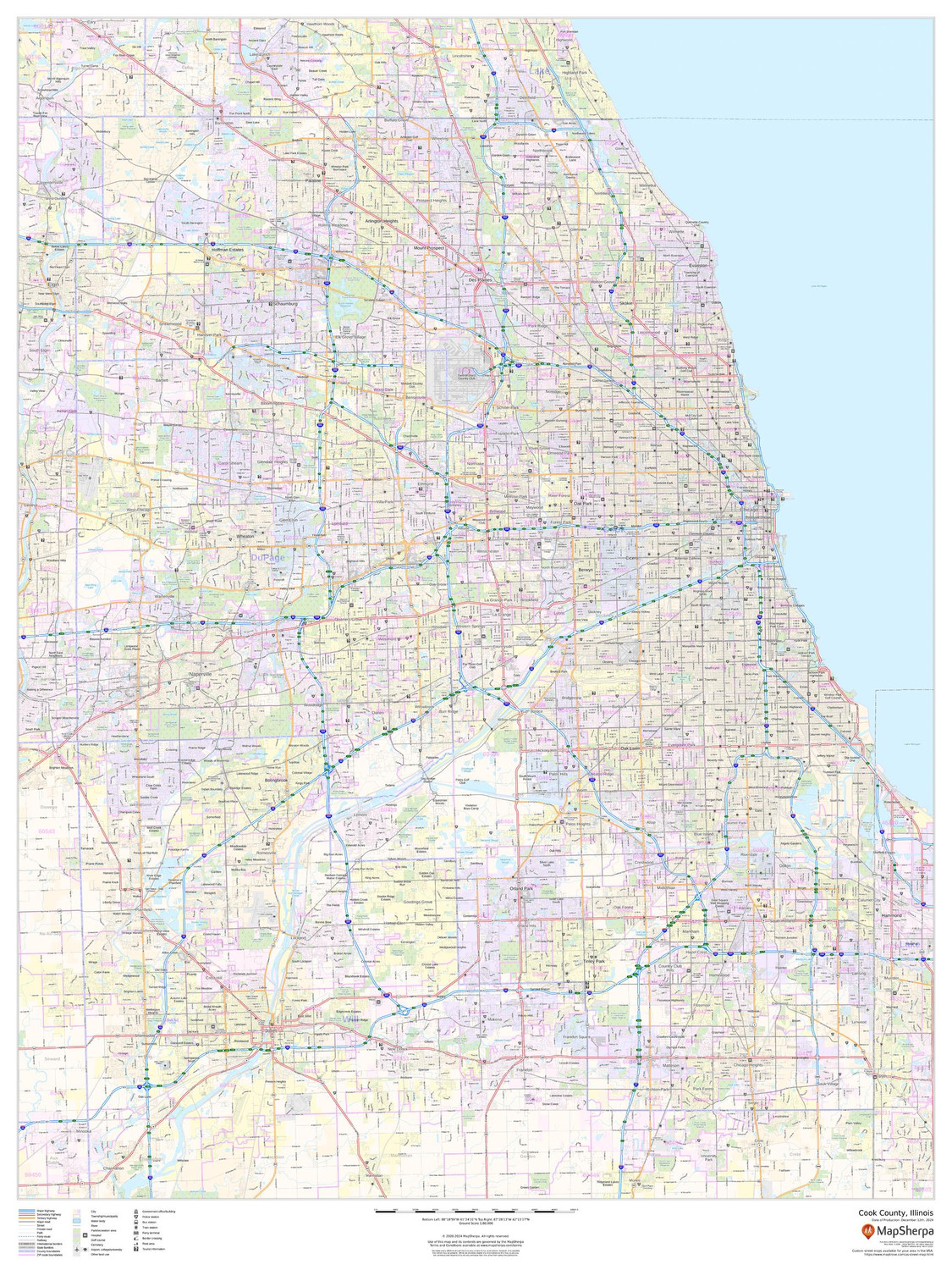
Cook County, Illinois Wall Map
Starting at $71.00 -
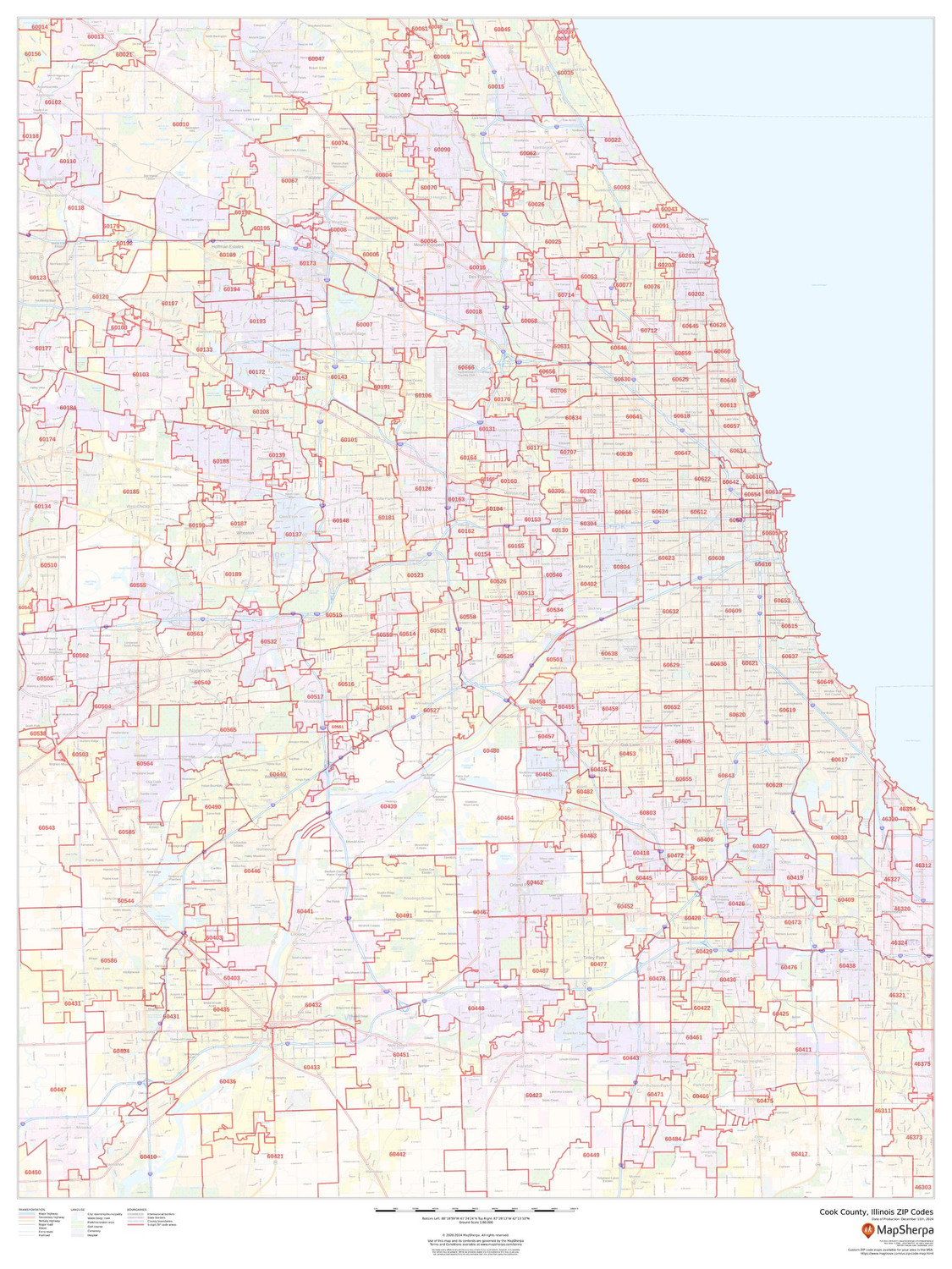
Cook County, Illinois ZIP Codes Wall Map
Starting at $73.00 -

Cuyahoga County, Ohio Wall Map
Starting at $71.00 -
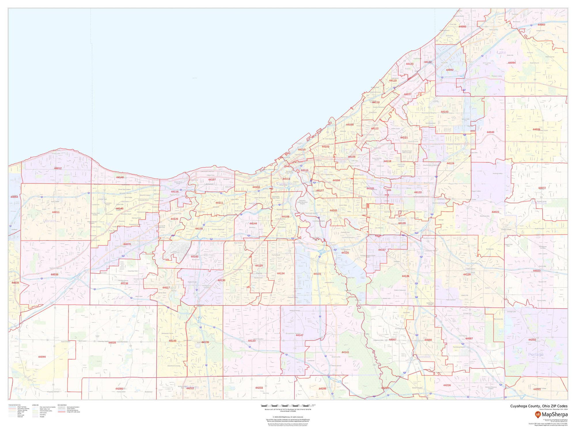
Cuyahoga County, Ohio ZIP Codes Wall Map
Starting at $73.00 -
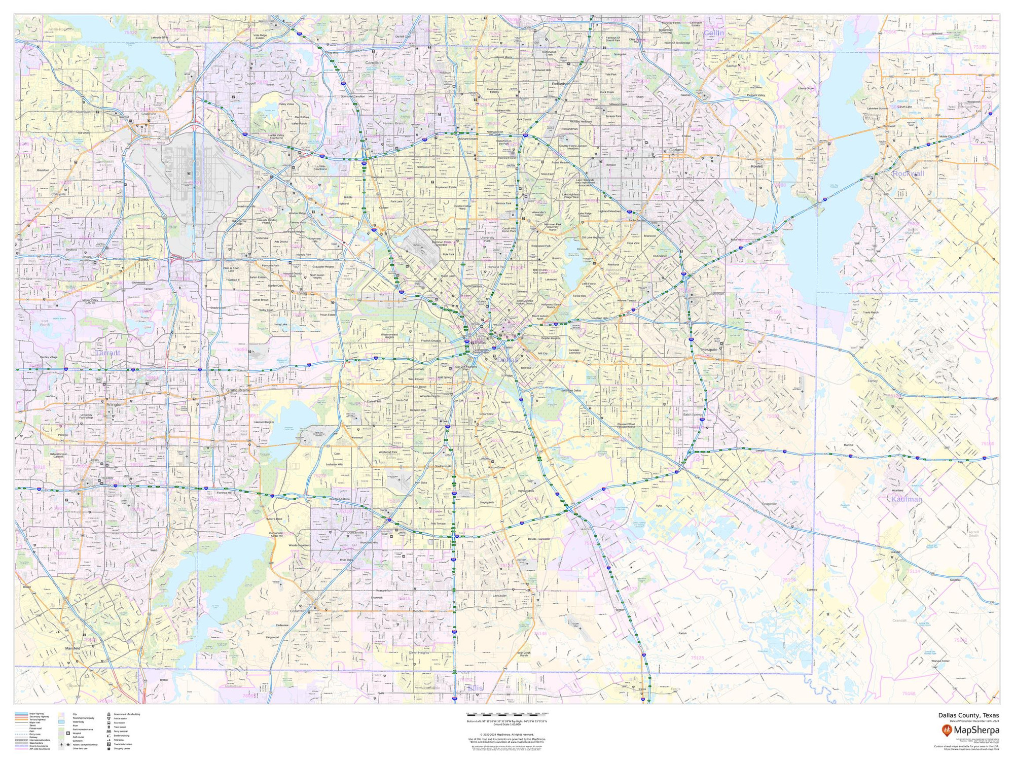
Dallas County, Texas Wall Map
Starting at $71.00 -
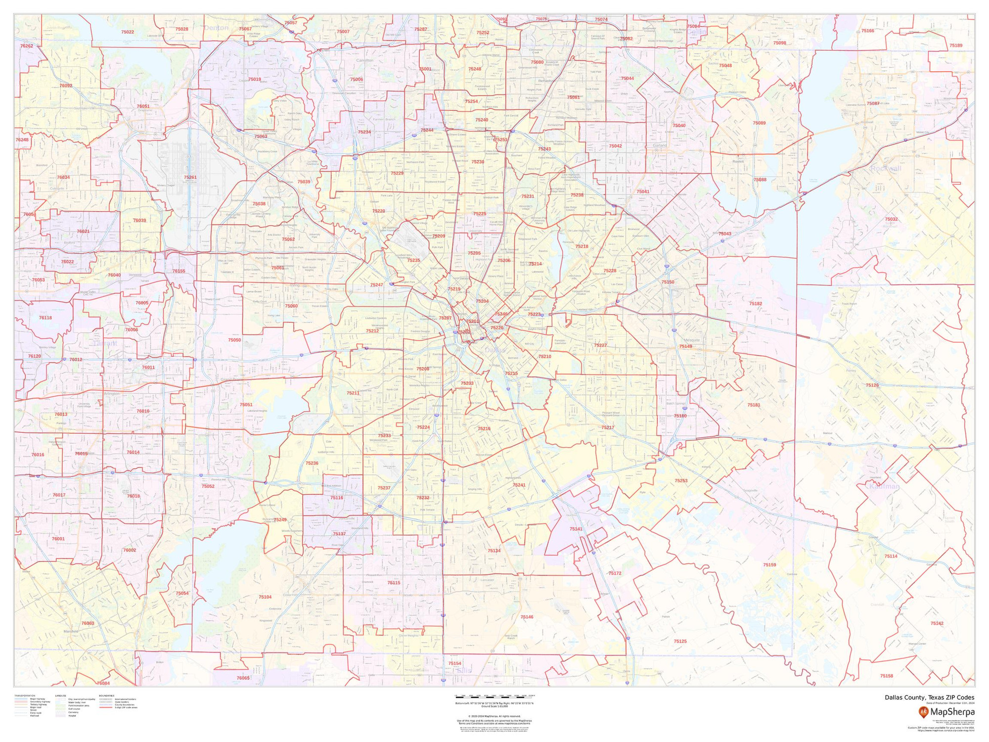
Dallas County, Texas ZIP Codes Wall Map
Starting at $73.00 -
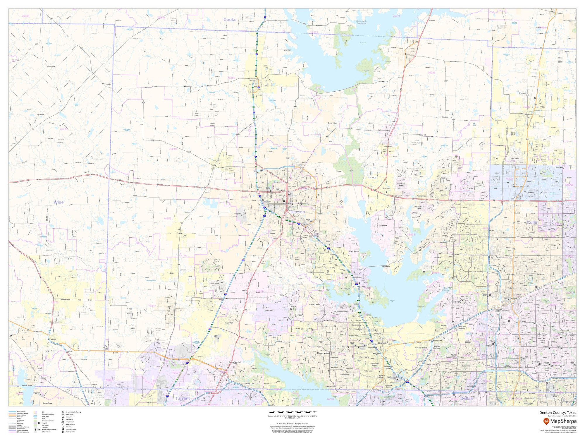
Denton County, Texas Wall Map
Starting at $71.00 -
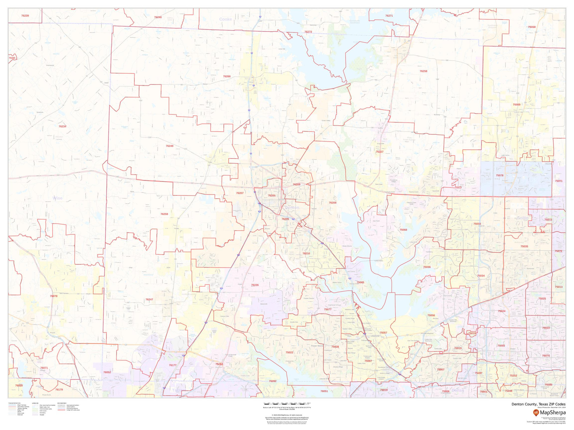
Denton County, Texas ZIP Codes Wall Map
Starting at $73.00 -
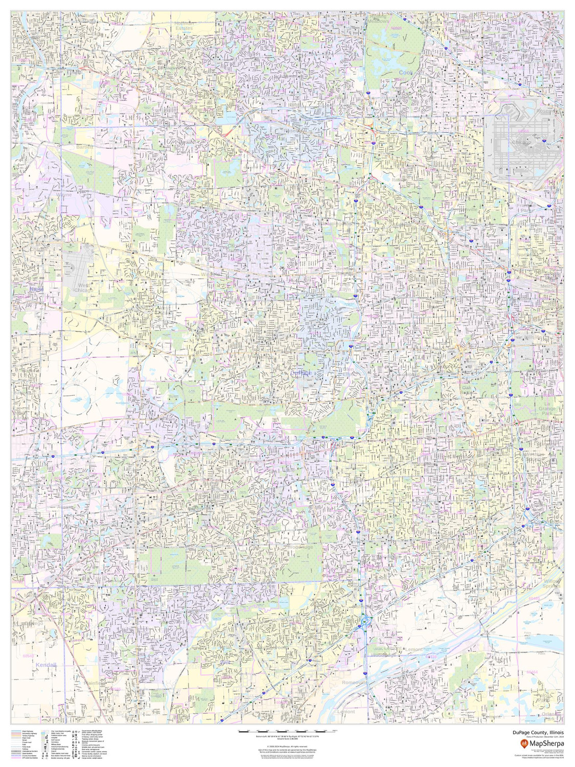
DuPage County, Illinois Wall Map
Starting at $71.00 -
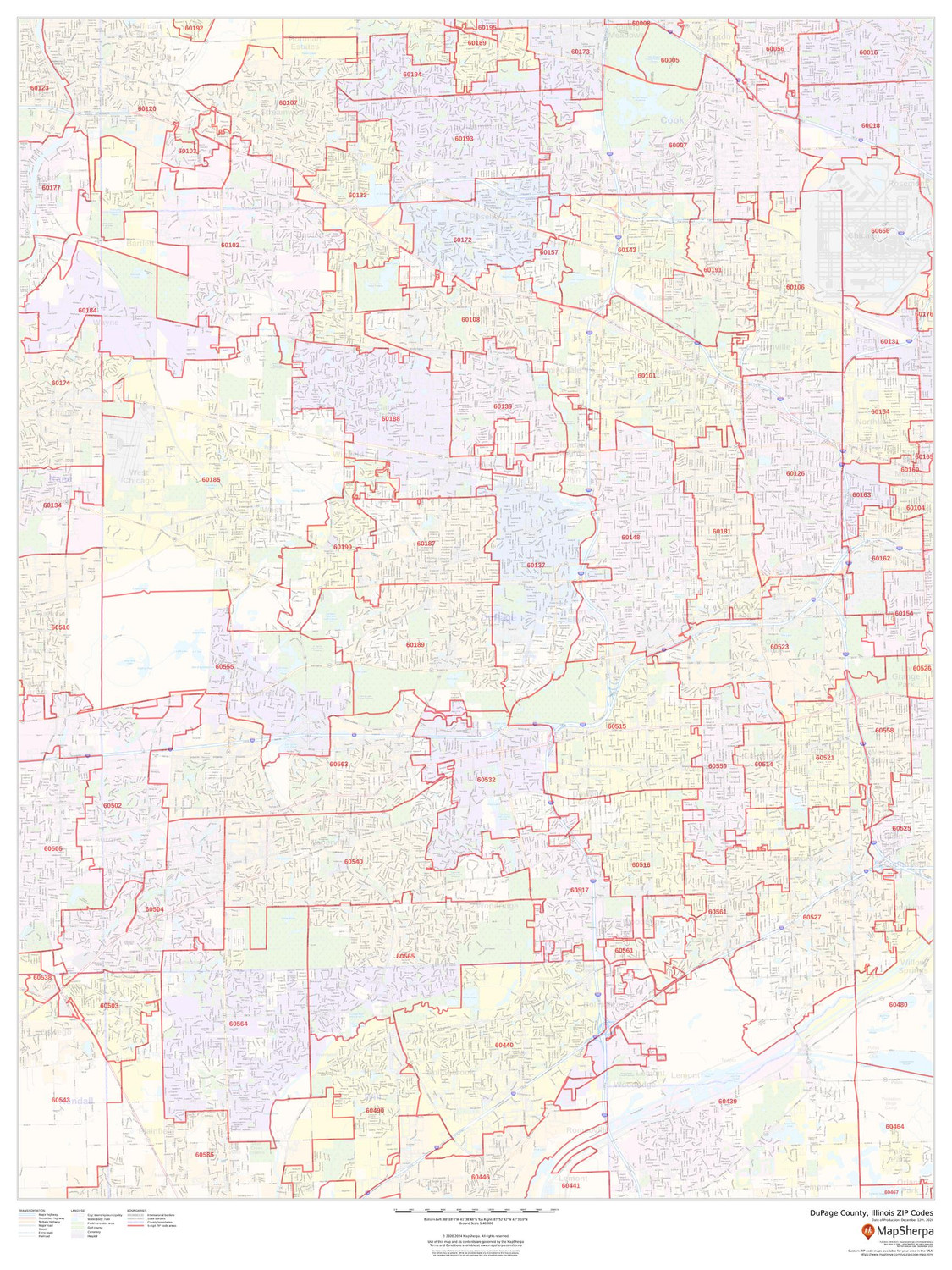
DuPage County, Illinois ZIP Codes Wall Map
Starting at $73.00 -
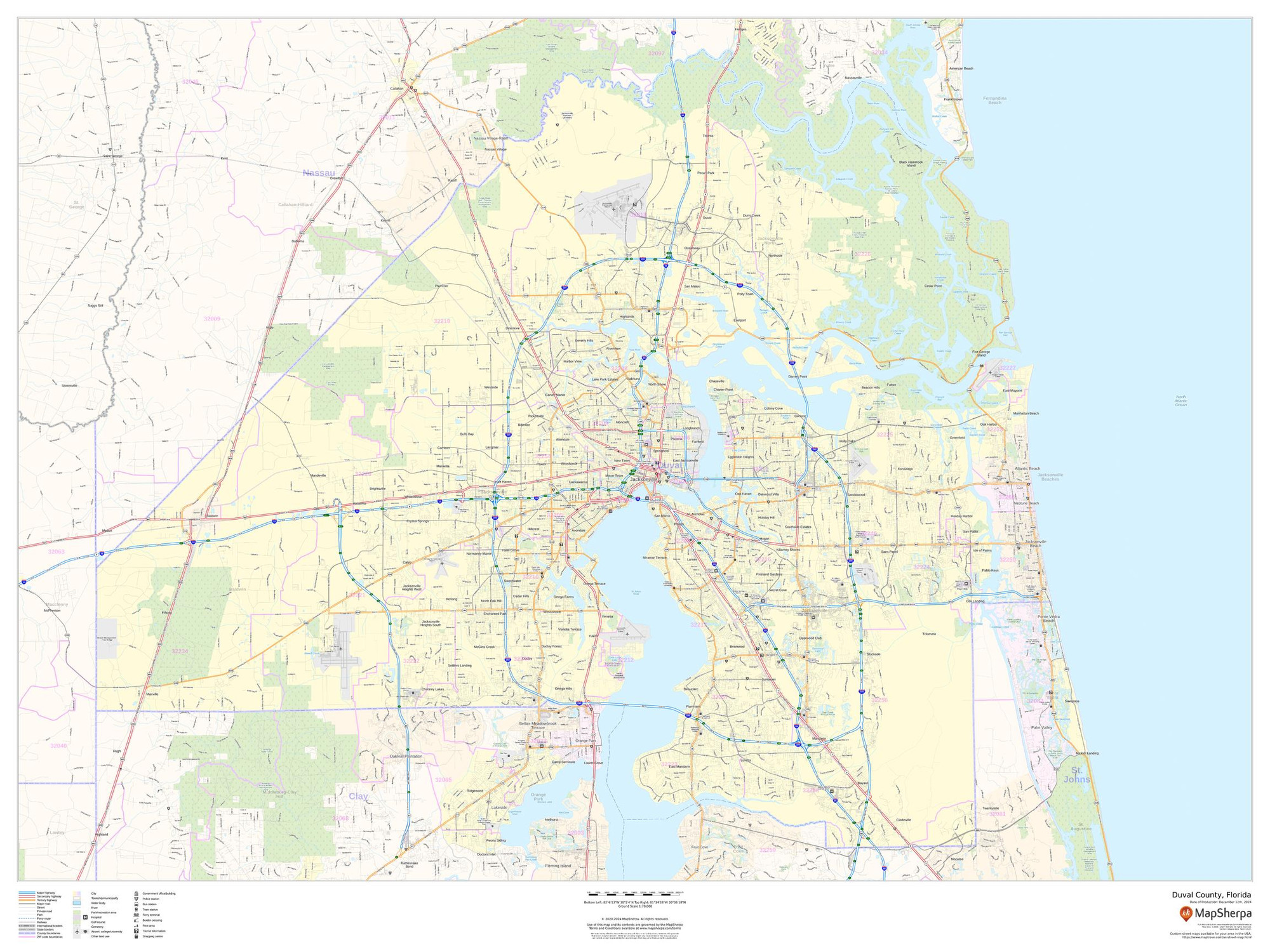
Duval County, Florida Wall Map
Starting at $71.00 -
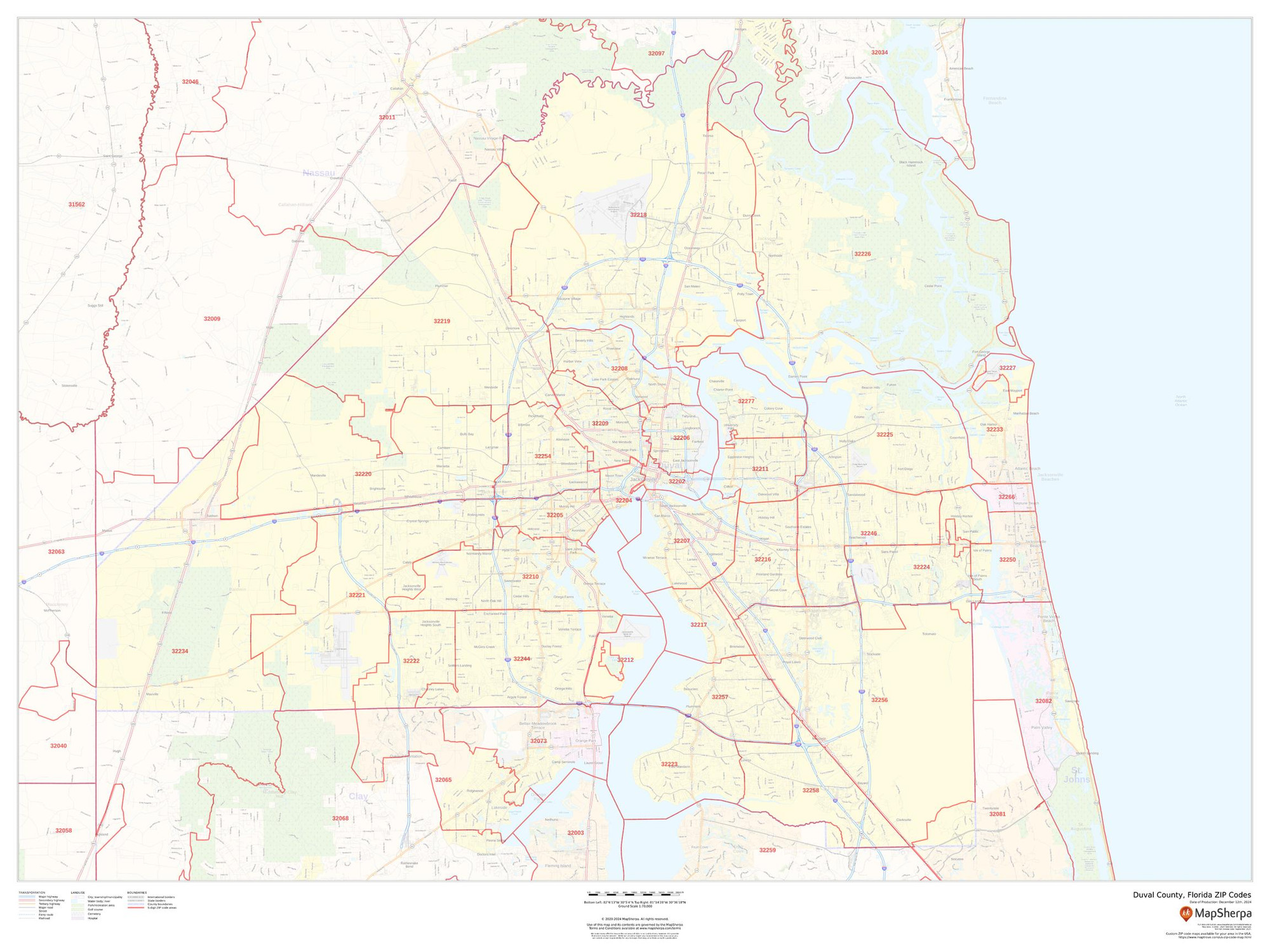
Duval County, Florida ZIP Codes Wall Map
Starting at $73.00 -
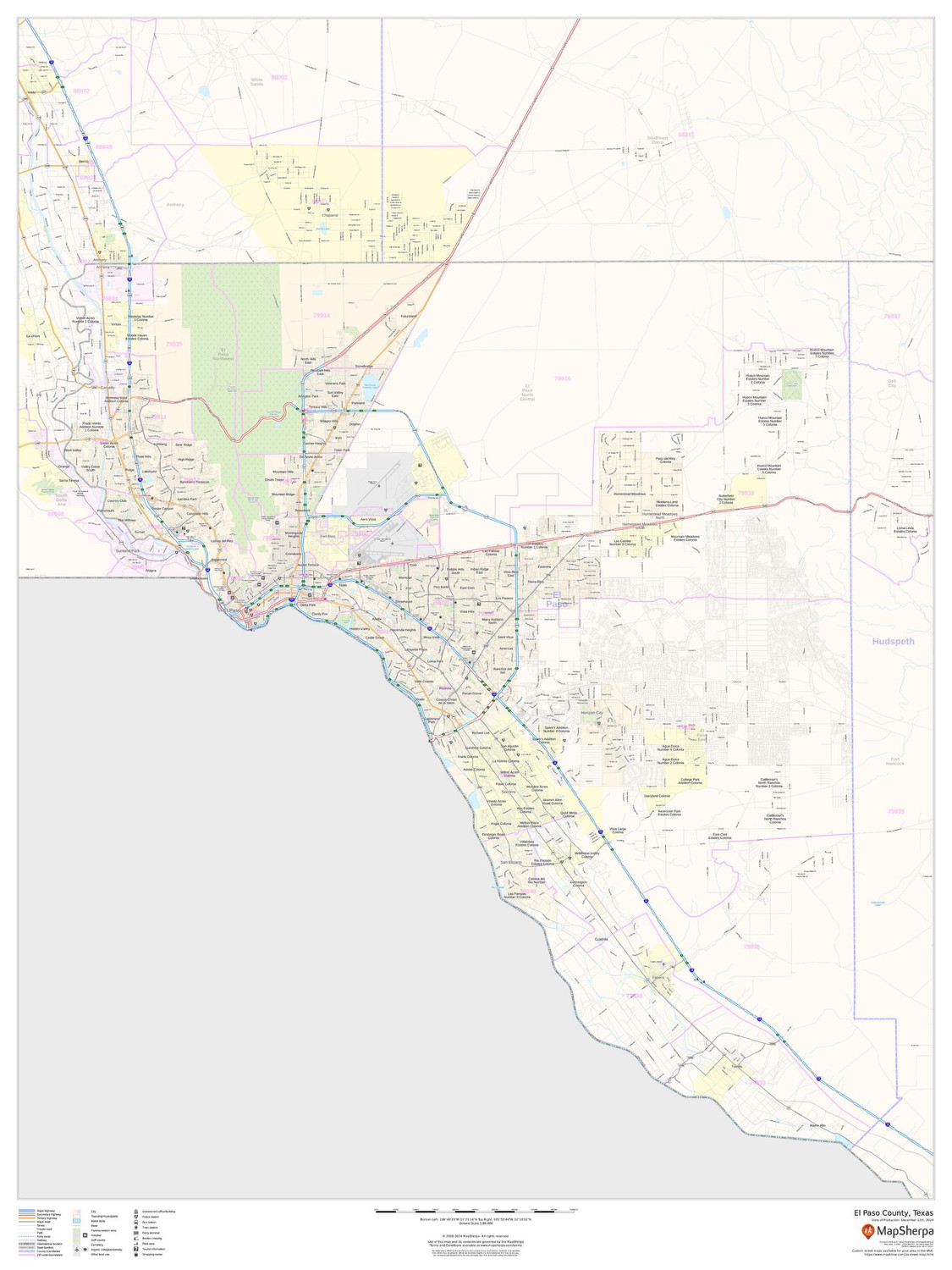
El Paso County, Texas Wall Map
Starting at $71.00 -
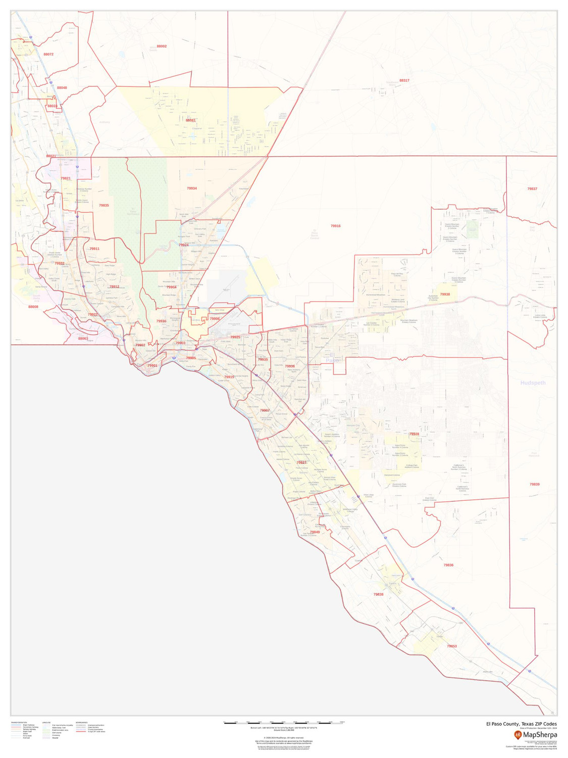
El Paso County, Texas ZIP Codes Wall Map
Starting at $73.00 -

Erie County, New York Wall Map
Starting at $71.00 -
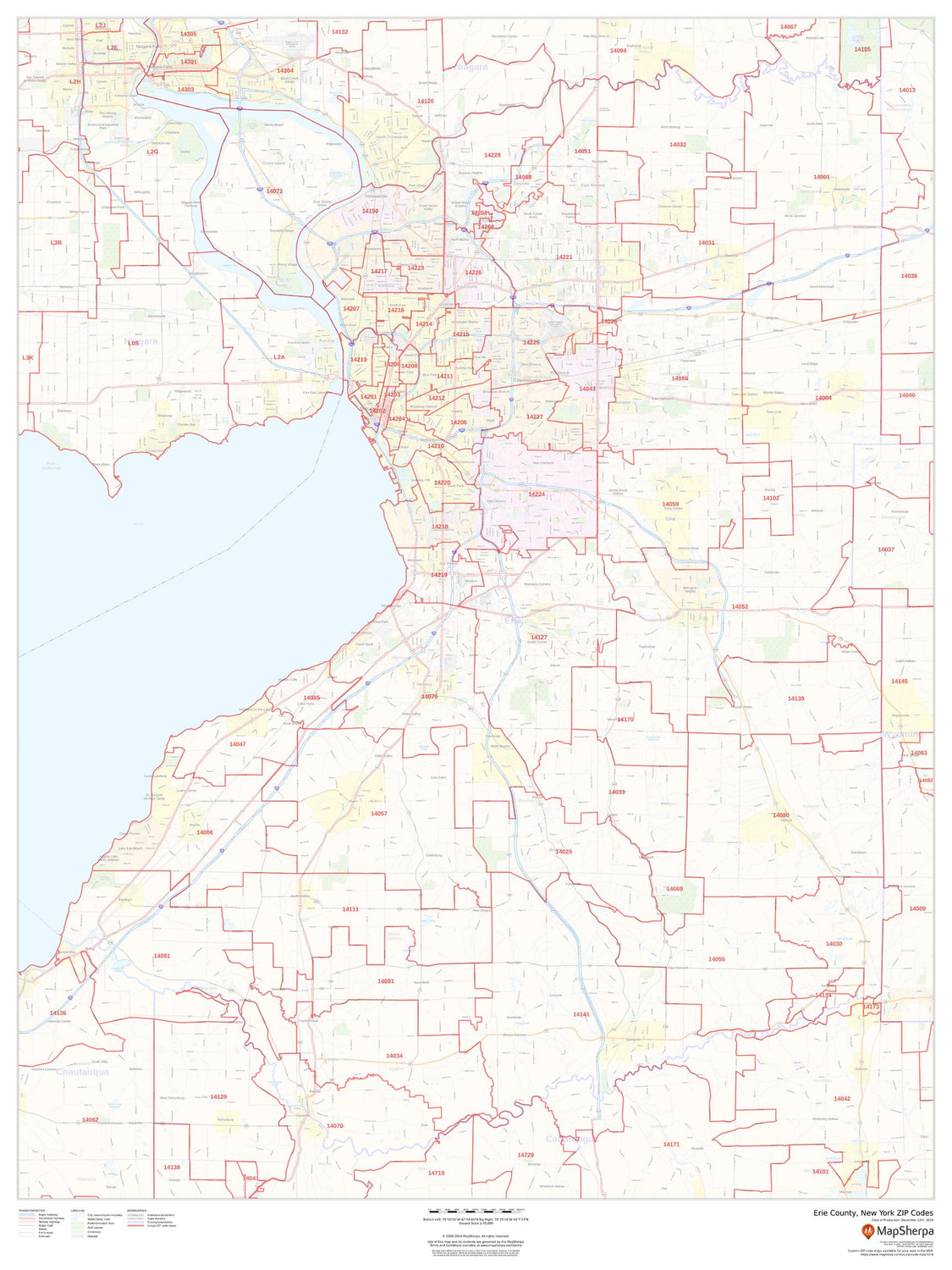
Erie County, New York ZIP Codes Wall Map
Starting at $73.00 -
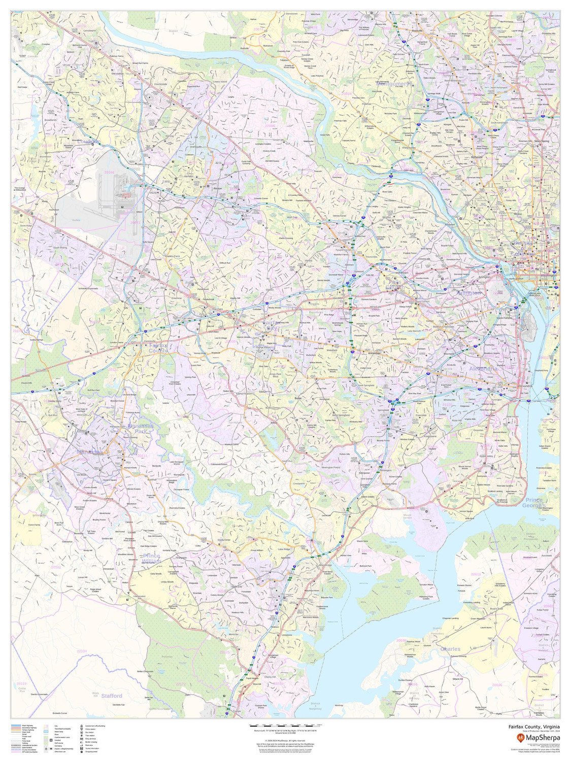
Fairfax County, Virginia Wall Map
Starting at $71.00 -
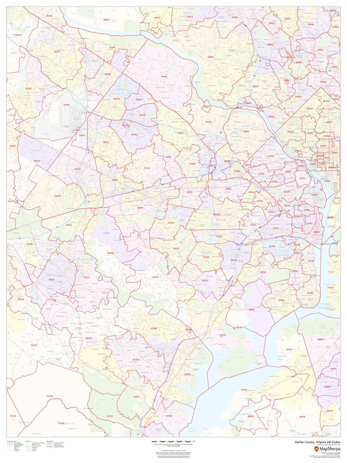
Fairfax County, Virginia ZIP Codes Wall Map
Starting at $73.00 -
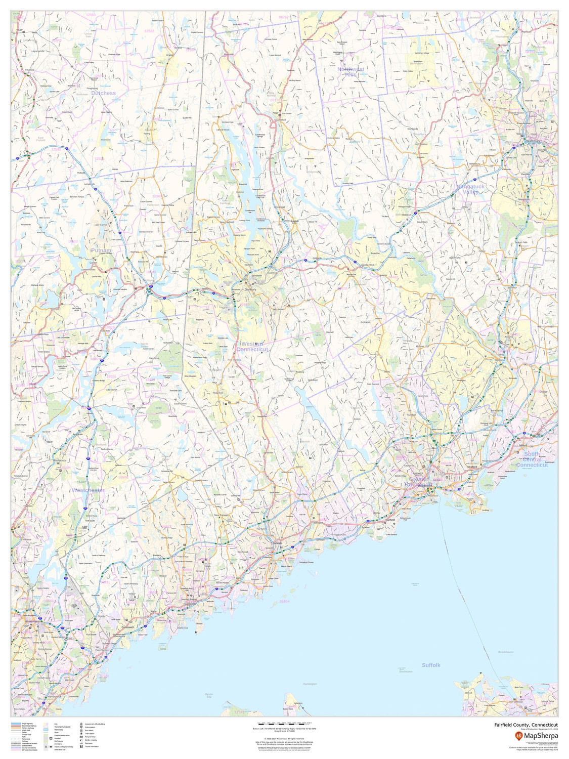
Fairfield County, Connecticut Wall Map
Starting at $71.00 -
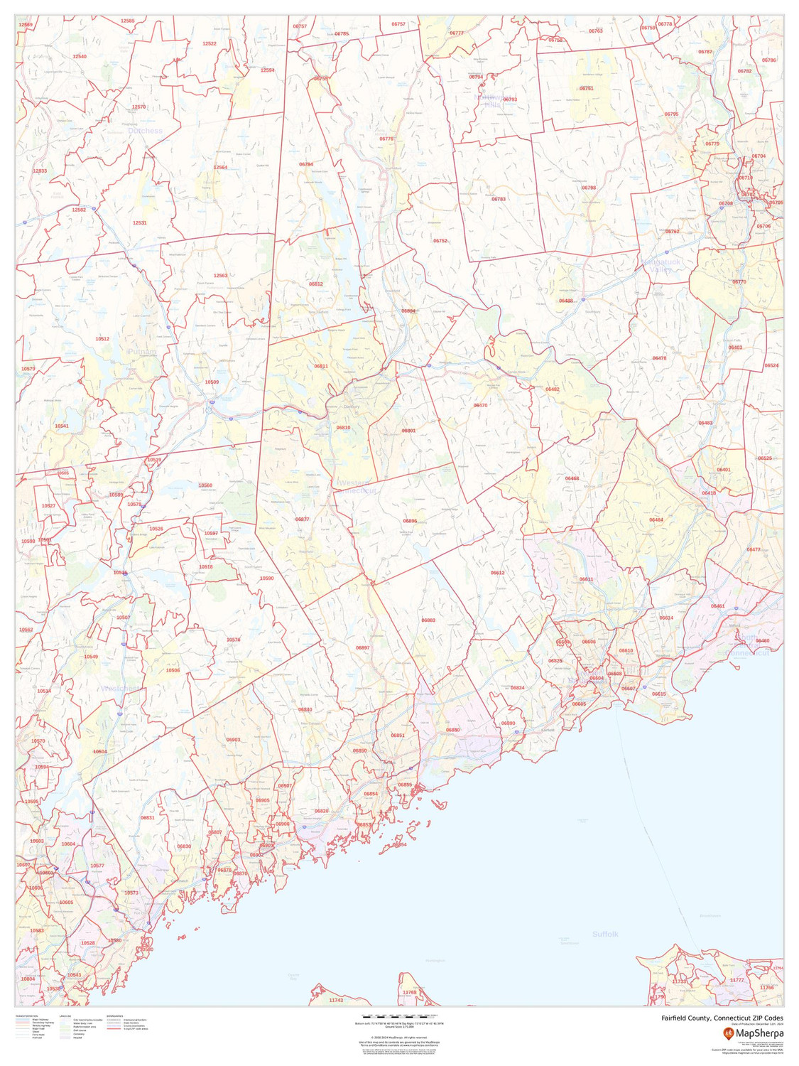
Fairfield County, Connecticut ZIP Codes Wall Map
Starting at $73.00 -

Franklin County, Ohio Wall Map
Starting at $71.00 -
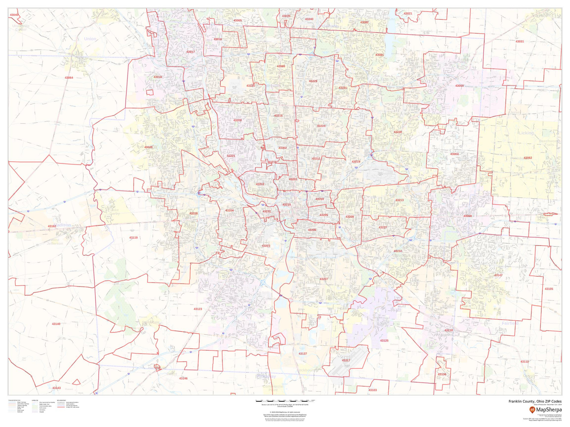
Franklin County, Ohio ZIP Codes Wall Map
Starting at $73.00 -

Fresno County, California Wall Map
Starting at $71.00 -
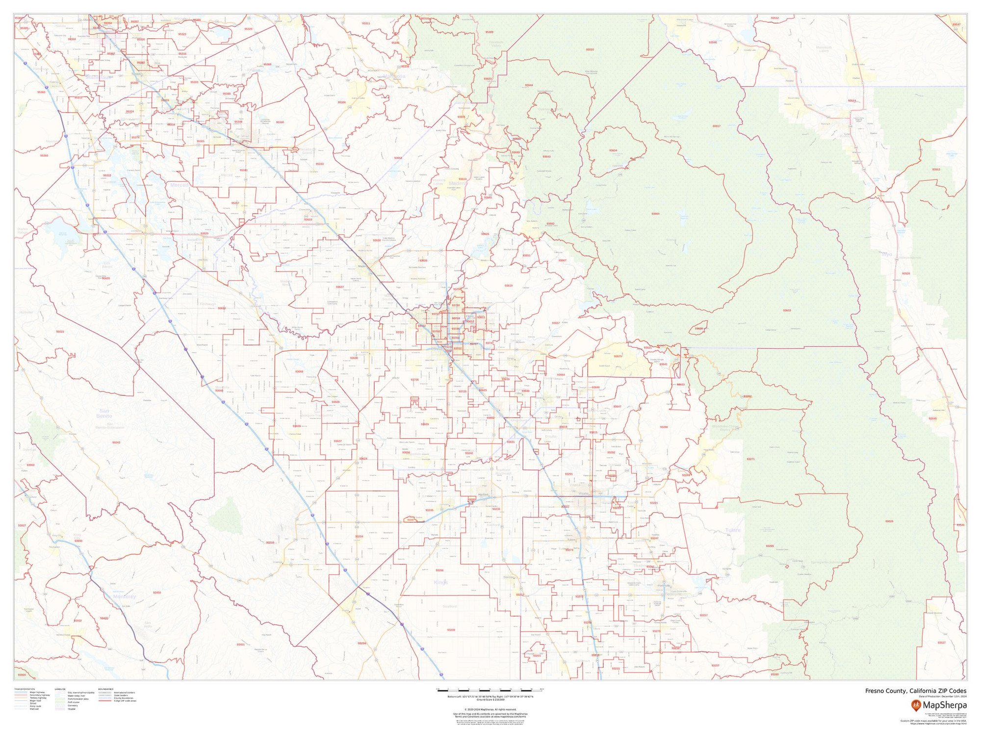
Fresno County, California ZIP Codes Wall Map
Starting at $73.00 -

Fulton County, Georgia Wall Map
Starting at $71.00 -
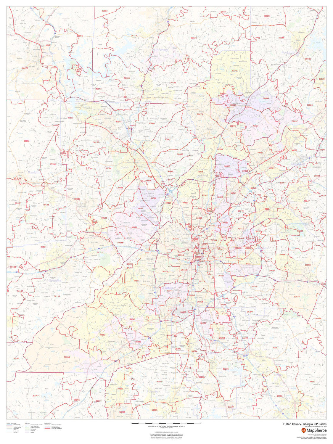
Fulton County, Georgia ZIP Codes Wall Map
Starting at $73.00 -
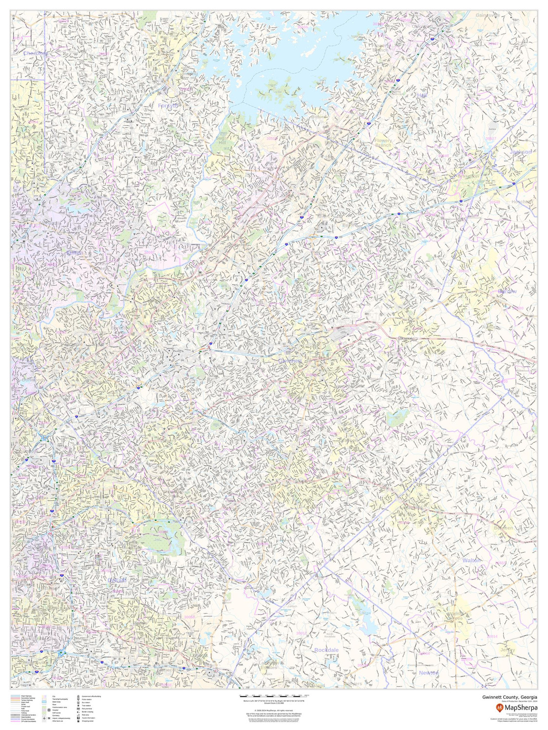
Gwinnett County, Georgia Wall Map
Starting at $71.00 -
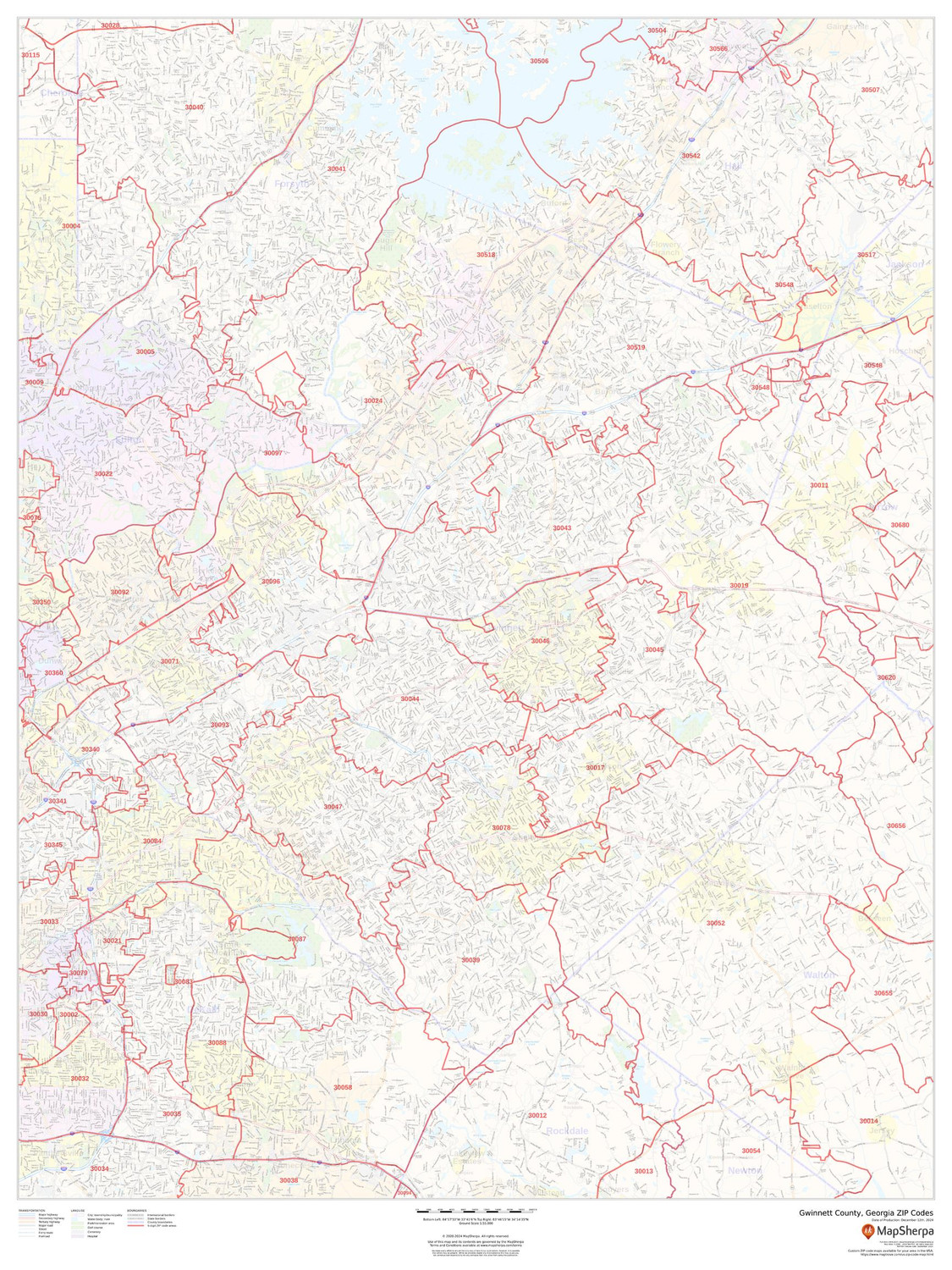
Gwinnett County, Georgia ZIP Codes Wall Map
Starting at $73.00 -
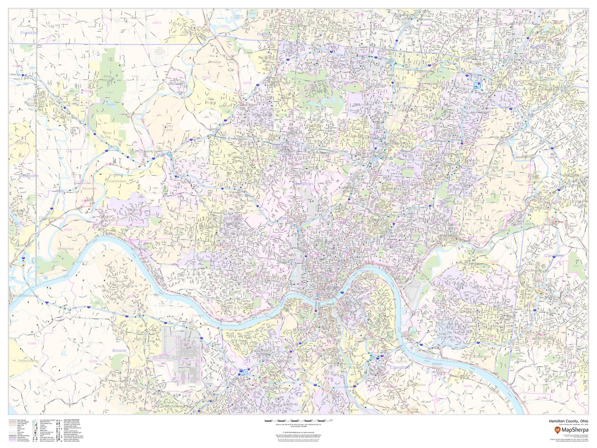
Hamilton County, Ohio Wall Map
Starting at $71.00 -
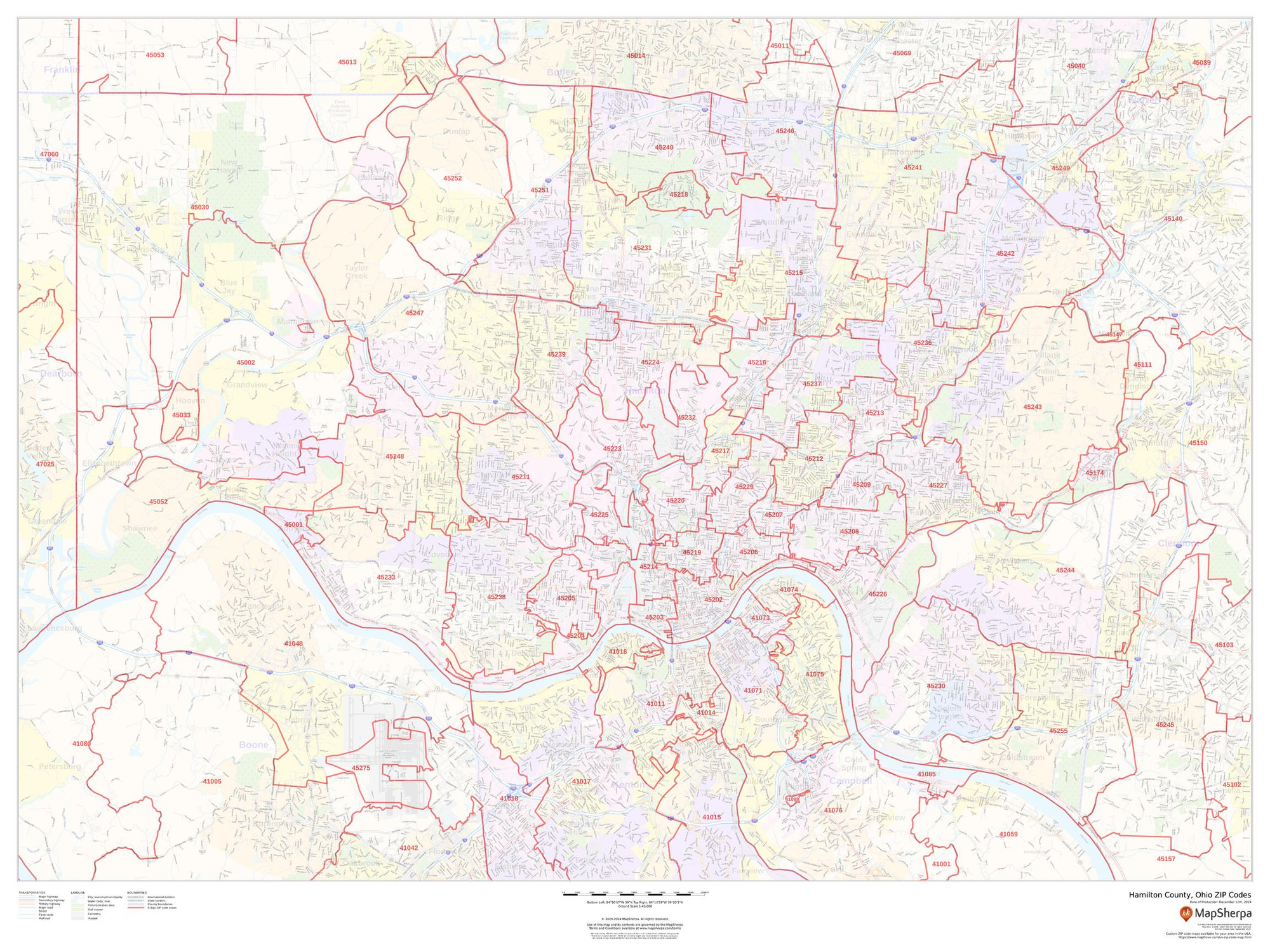
Hamilton County, Ohio ZIP Codes Wall Map
Starting at $73.00 -

Harris County, Texas Wall Map
Starting at $71.00 -
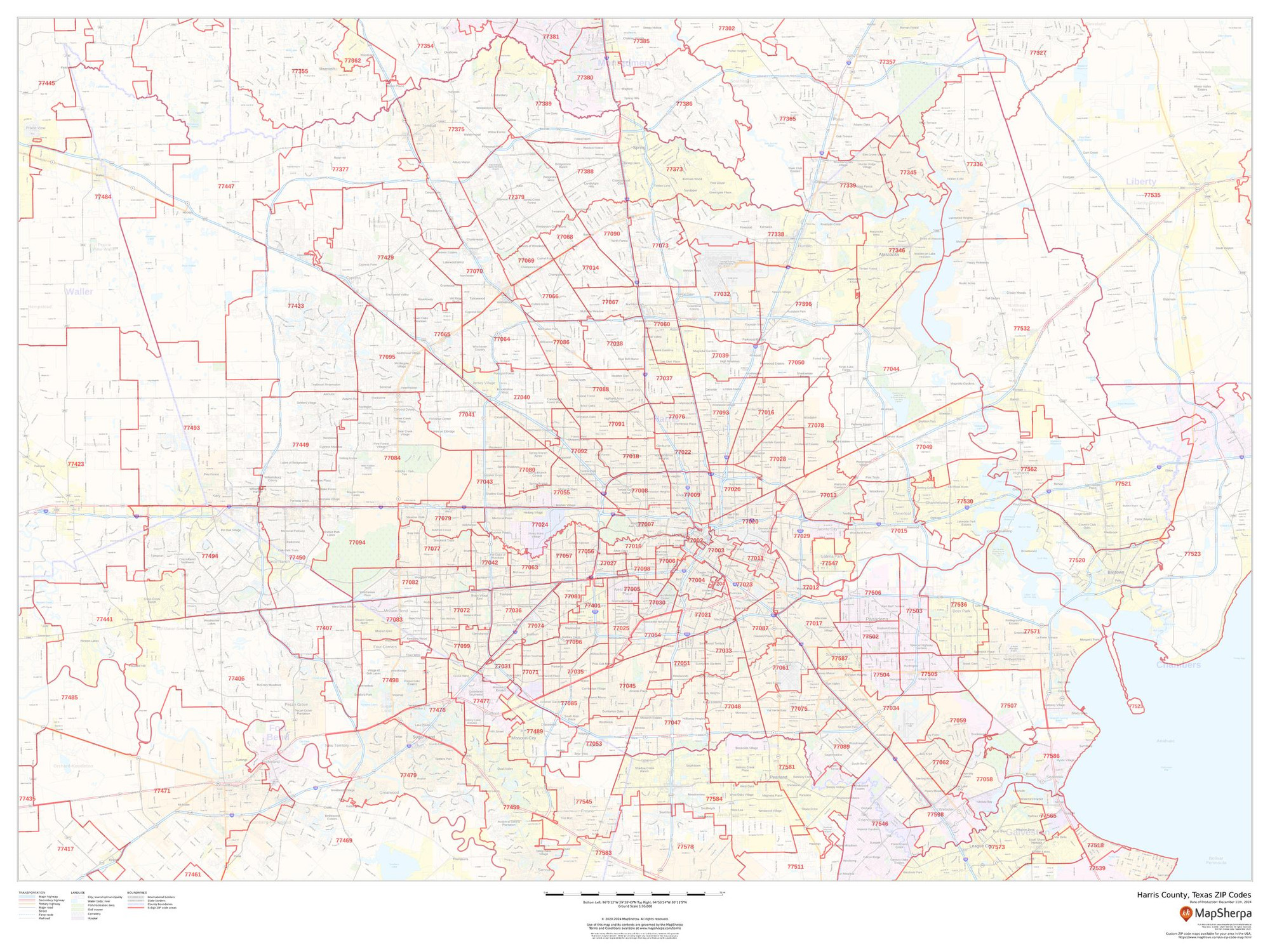
Harris County, Texas ZIP Codes Wall Map
Starting at $73.00 -
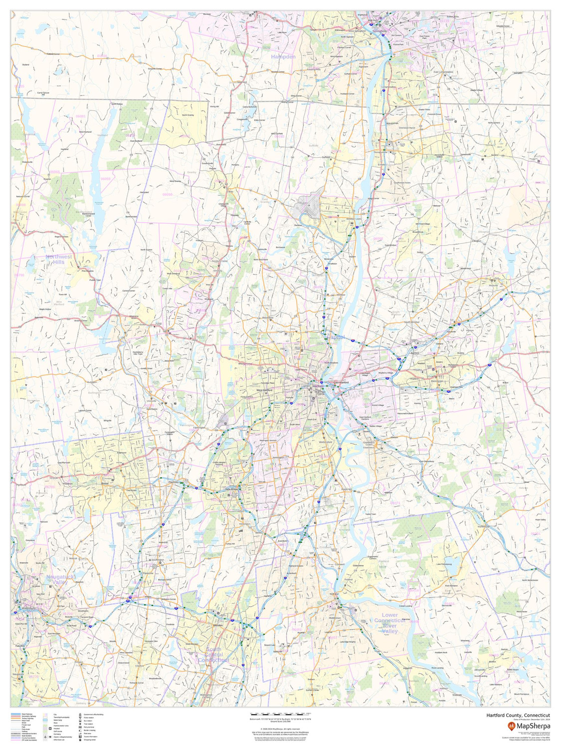
Hartford County, Connecticut Wall Map
Starting at $71.00 -
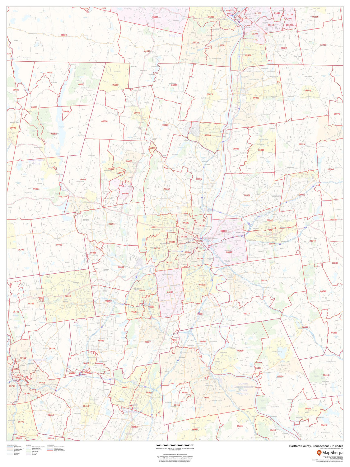
Hartford County, Connecticut ZIP Codes Wall Map
Starting at $73.00 -
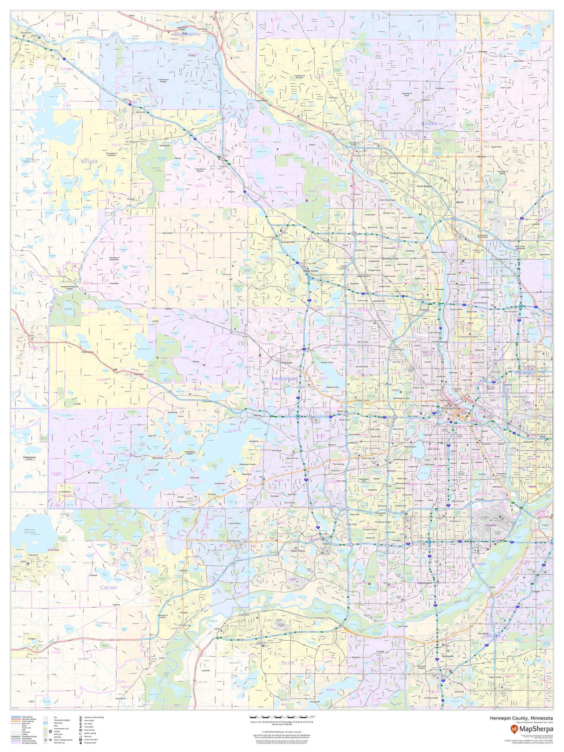
Hennepin County, Minnesota Wall Map
Starting at $71.00 -
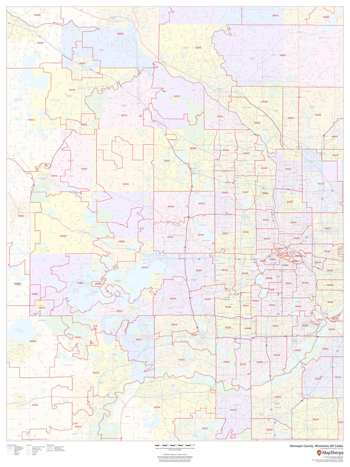
Hennepin County, Minnesota ZIP Codes Wall Map
Starting at $73.00 -
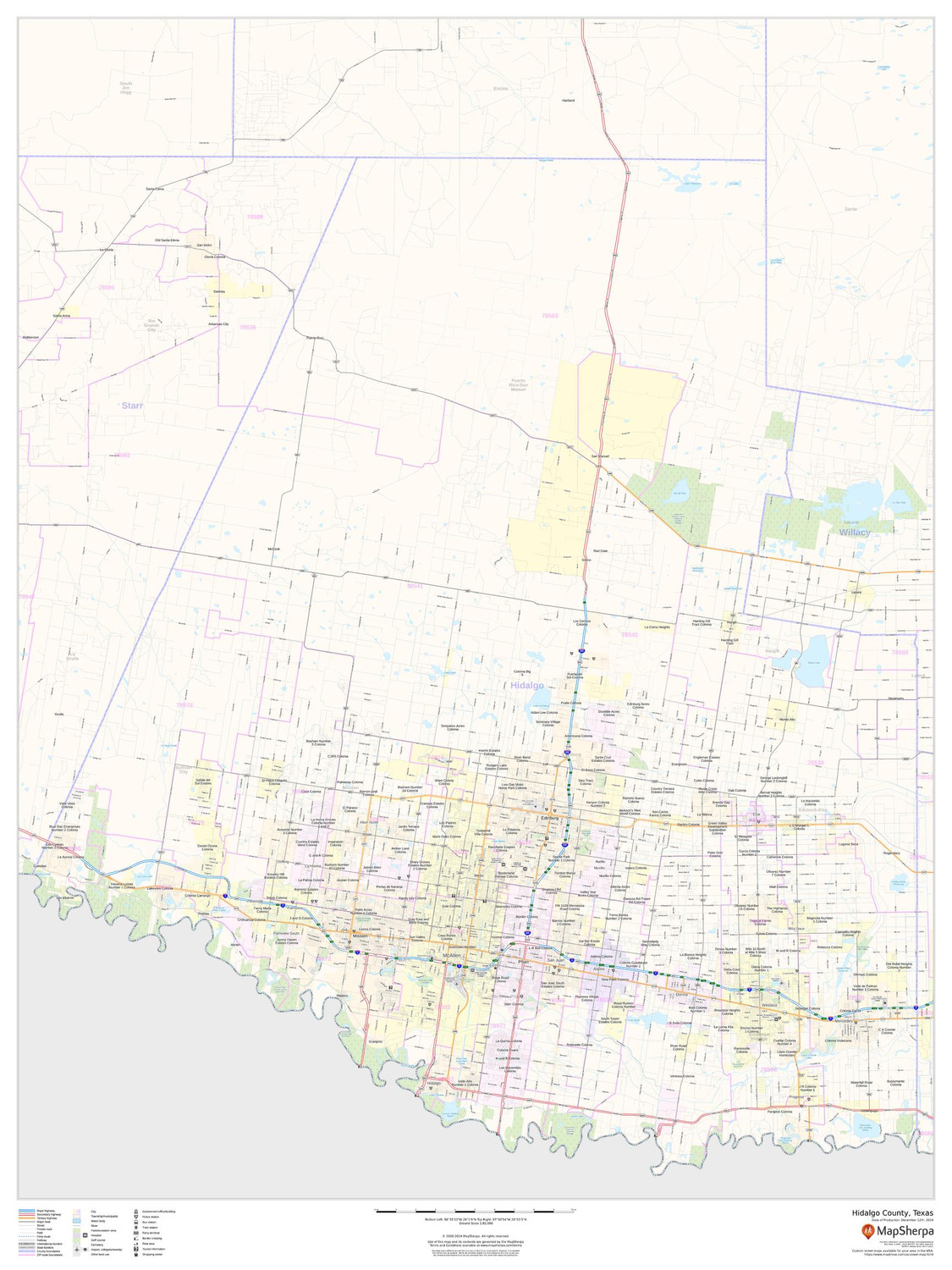
Hidalgo County, Texas Wall Map
Starting at $71.00 -
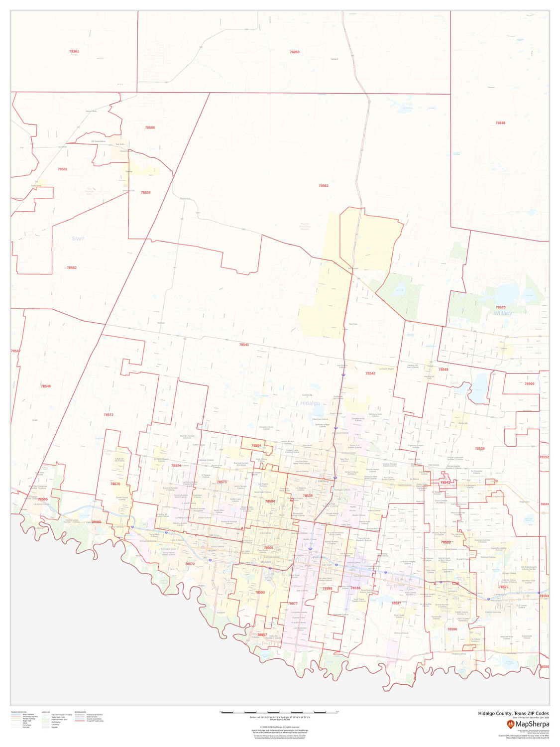
Hidalgo County, Texas ZIP Codes Wall Map
Starting at $73.00 -
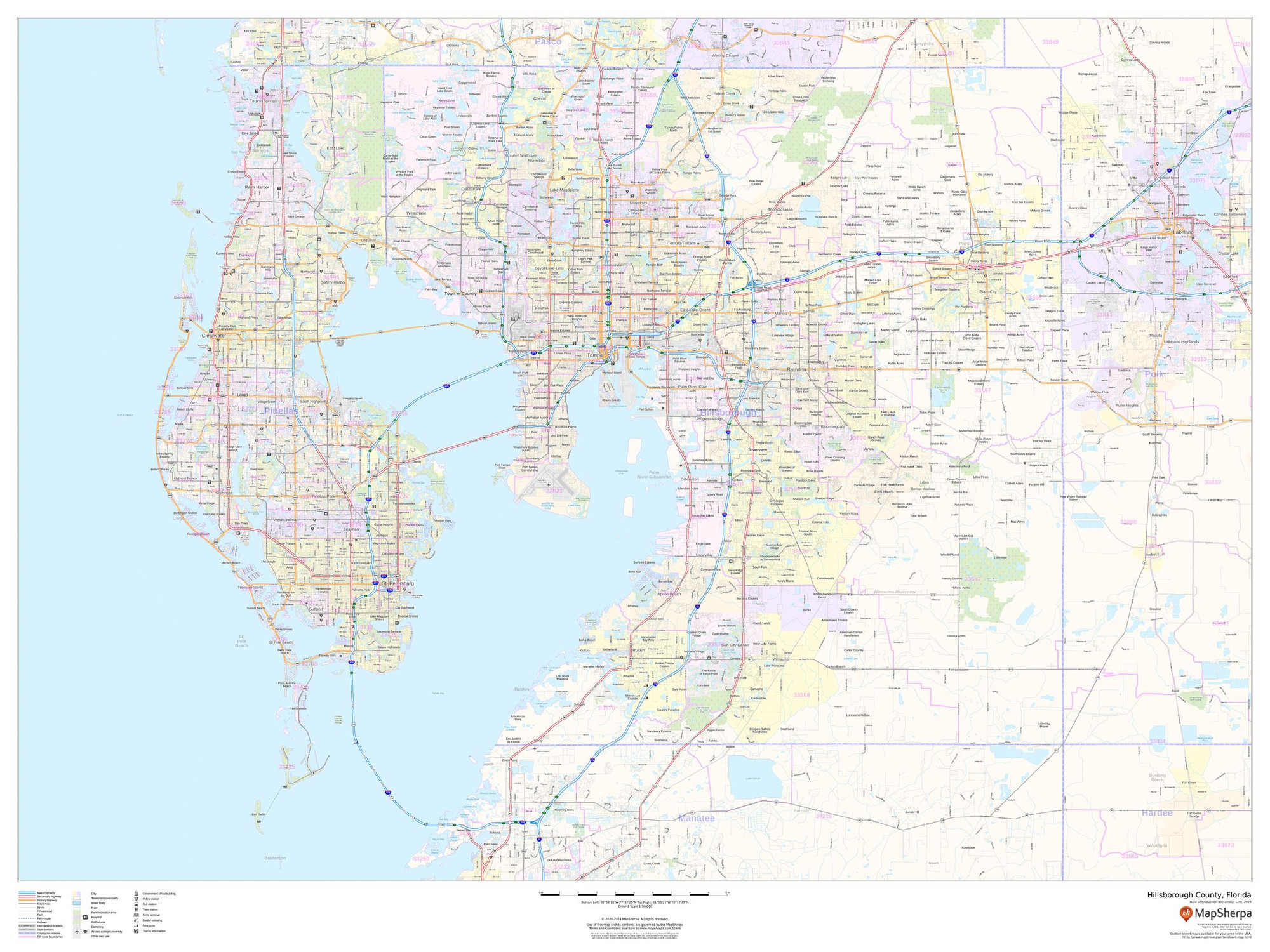
Hillsborough County, Florida Wall Map
Starting at $71.00 -
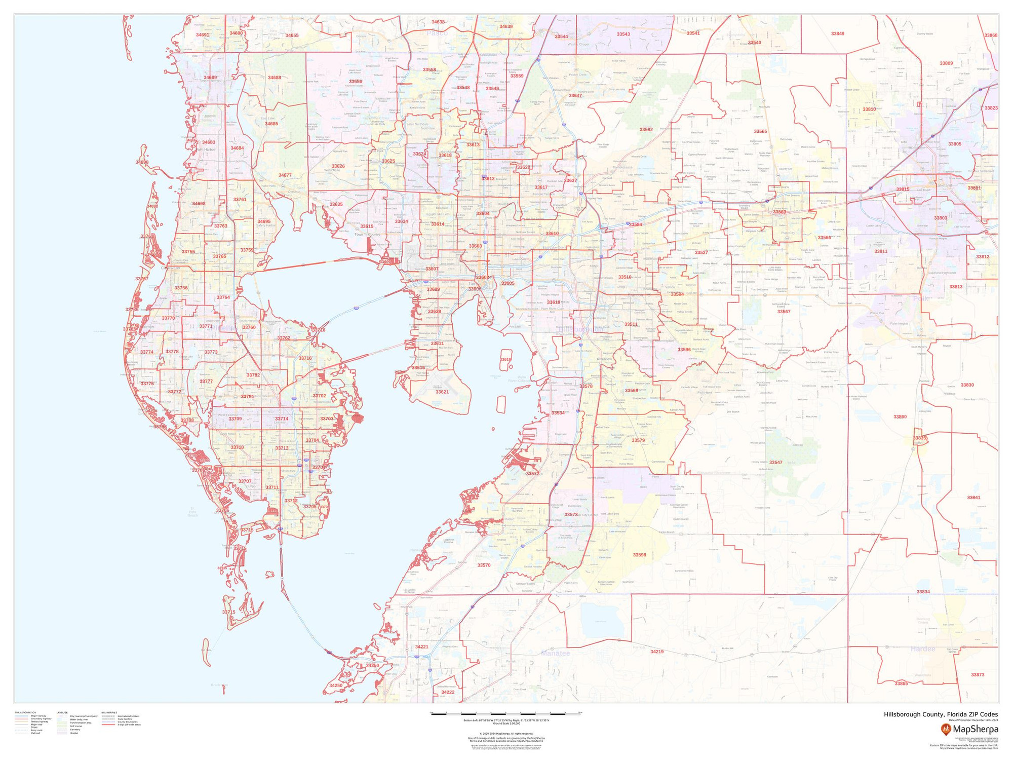
Hillsborough County, Florida ZIP Codes Wall Map
Starting at $73.00 -
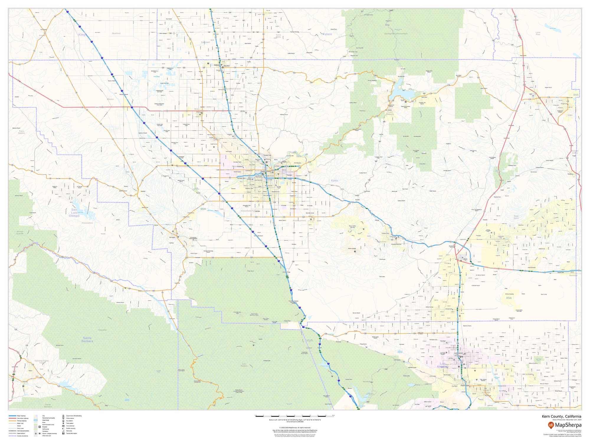
Kern County, California Wall Map
Starting at $71.00 -
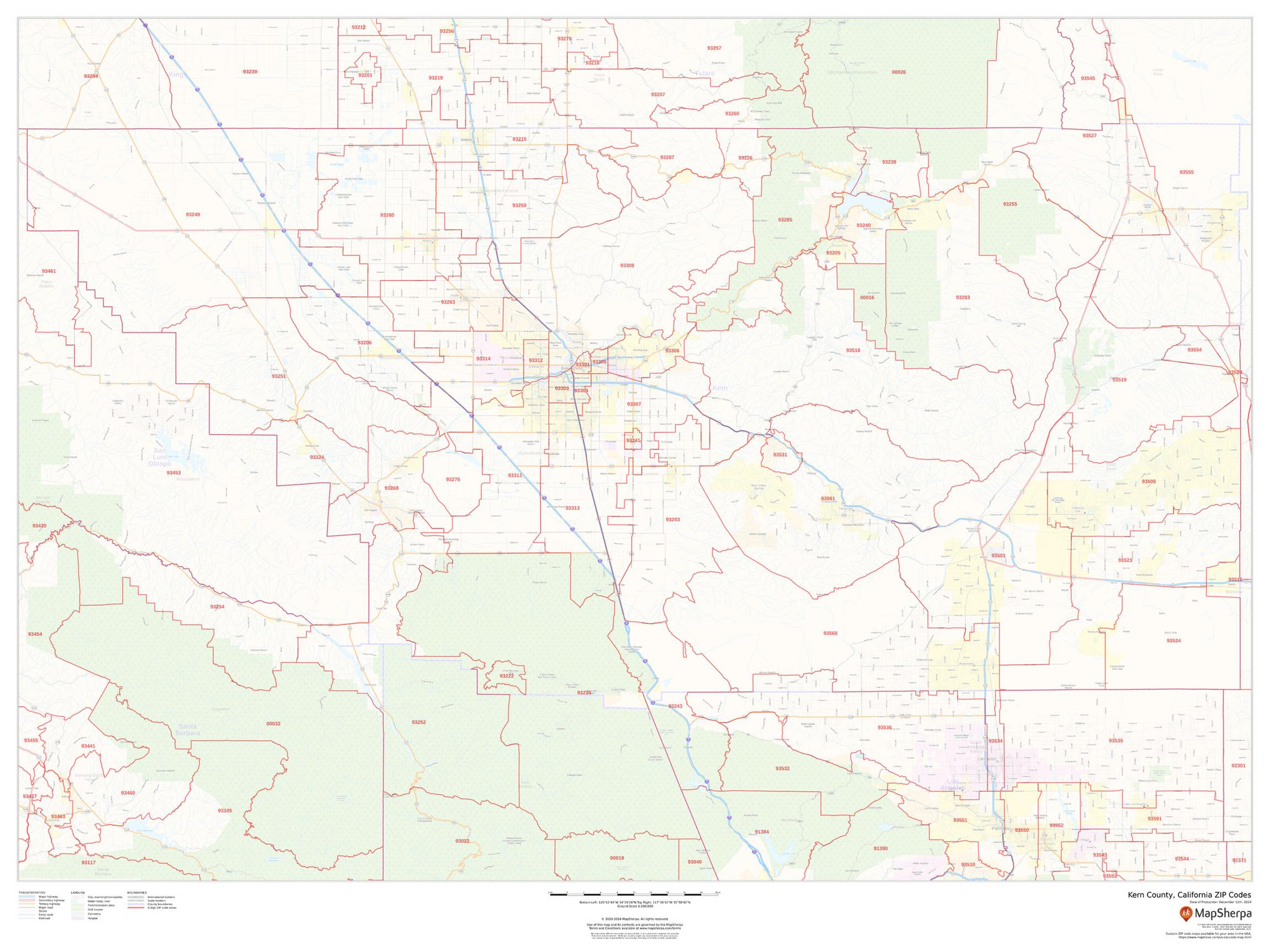
Kern County, California ZIP Codes Wall Map
Starting at $73.00 -
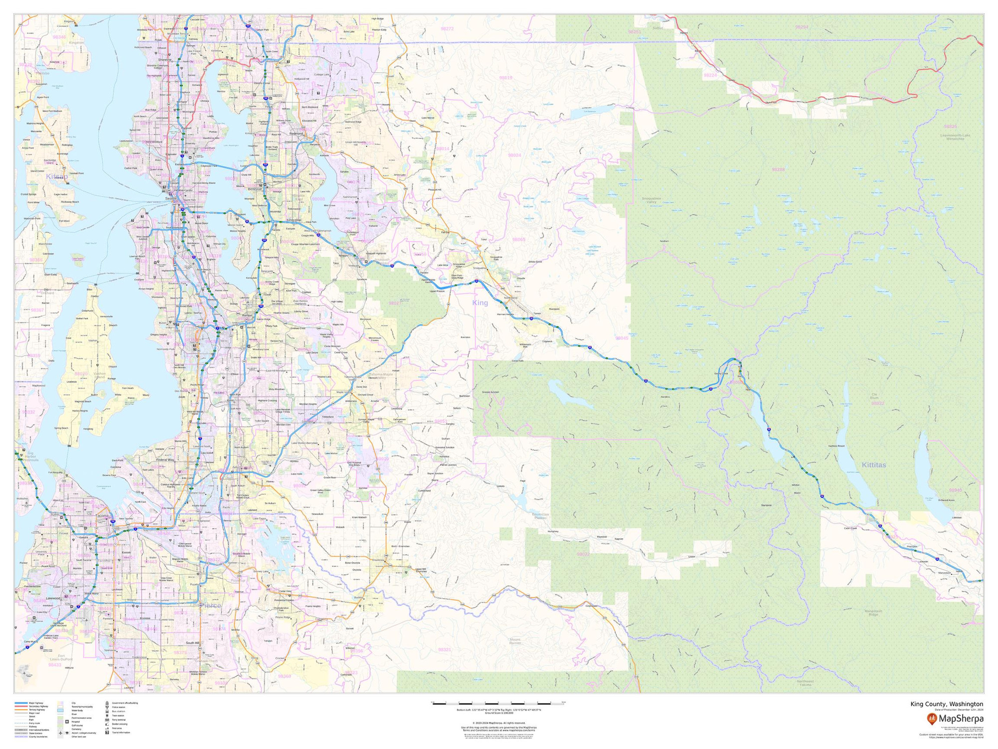
King County, Washington Wall Map
Starting at $71.00 -
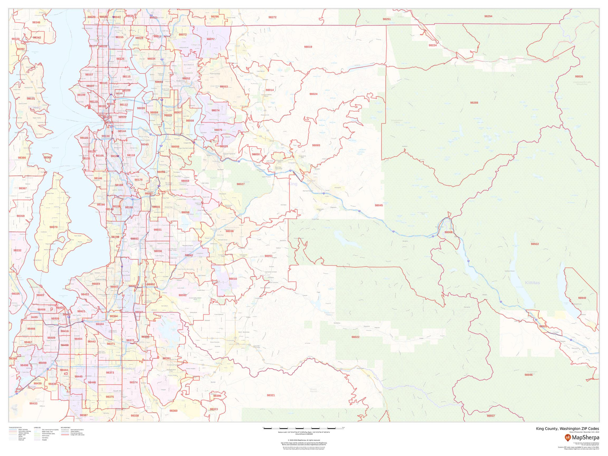
King County, Washington ZIP Codes Wall Map
Starting at $73.00 -
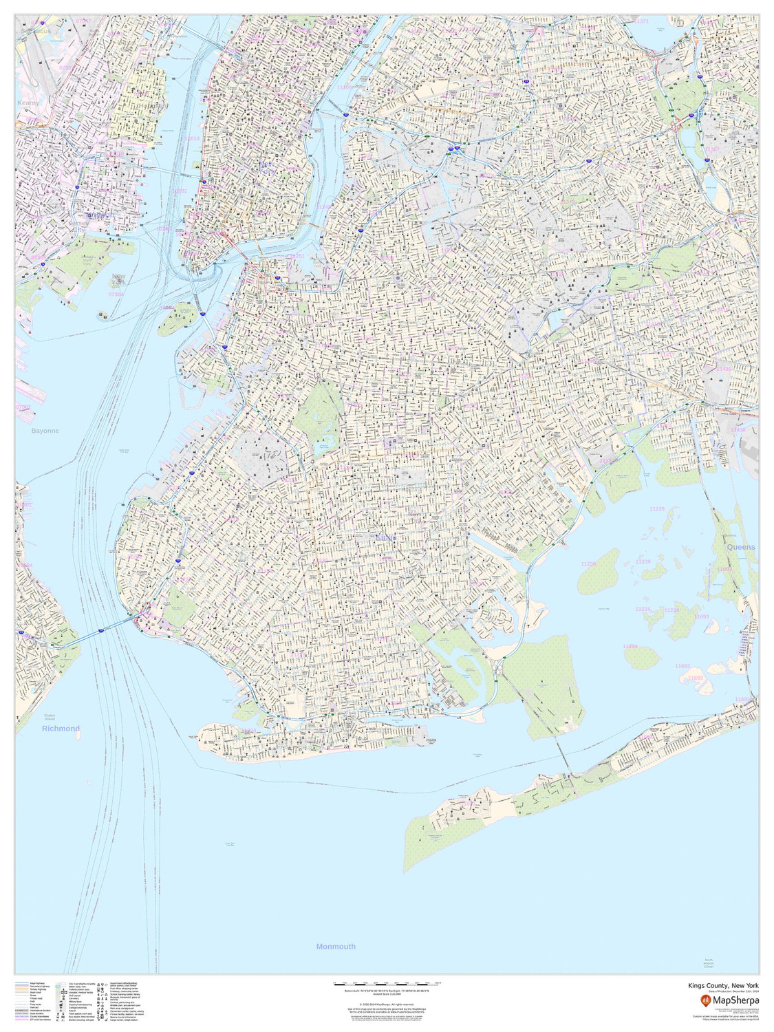
Kings County, New York Wall Map
Starting at $71.00 -
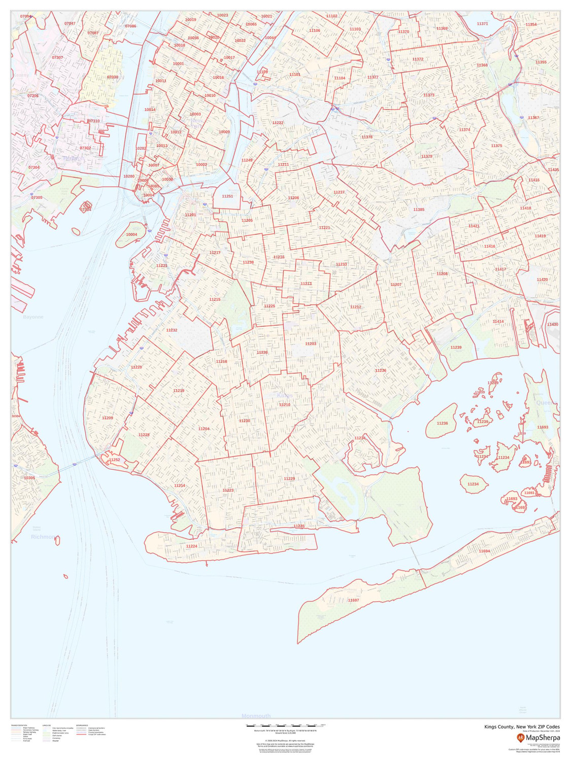
Kings County, New York ZIP Codes Wall Map
Starting at $73.00 -
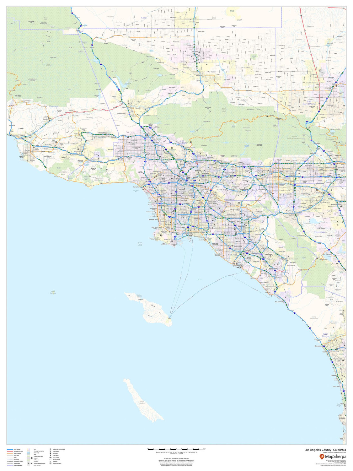
Los Angeles County, California Wall Map
Starting at $71.00 -
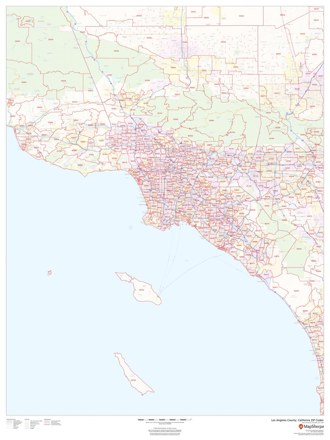
Los Angeles County, California ZIP Codes Wall Map
Starting at $73.00 -
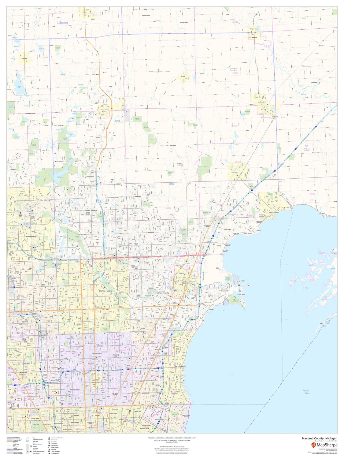
Macomb County, Michigan Wall Map
Starting at $71.00 -
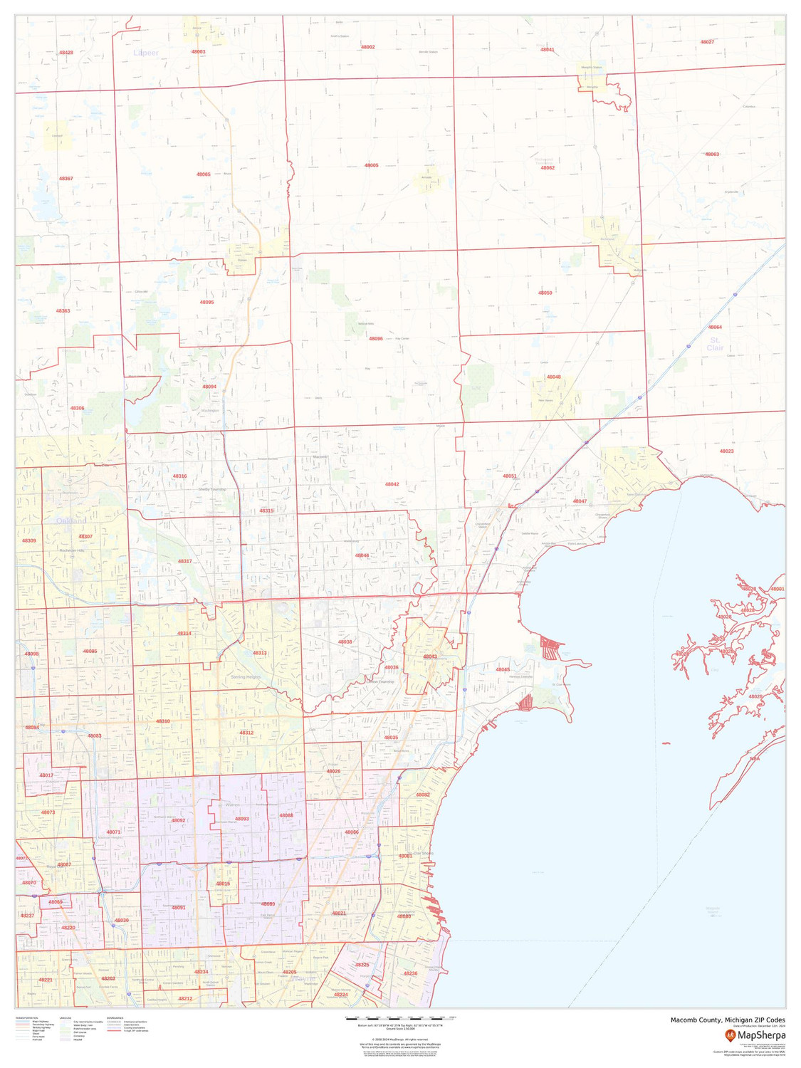
Macomb County, Michigan ZIP Codes Wall Map
Starting at $73.00 -
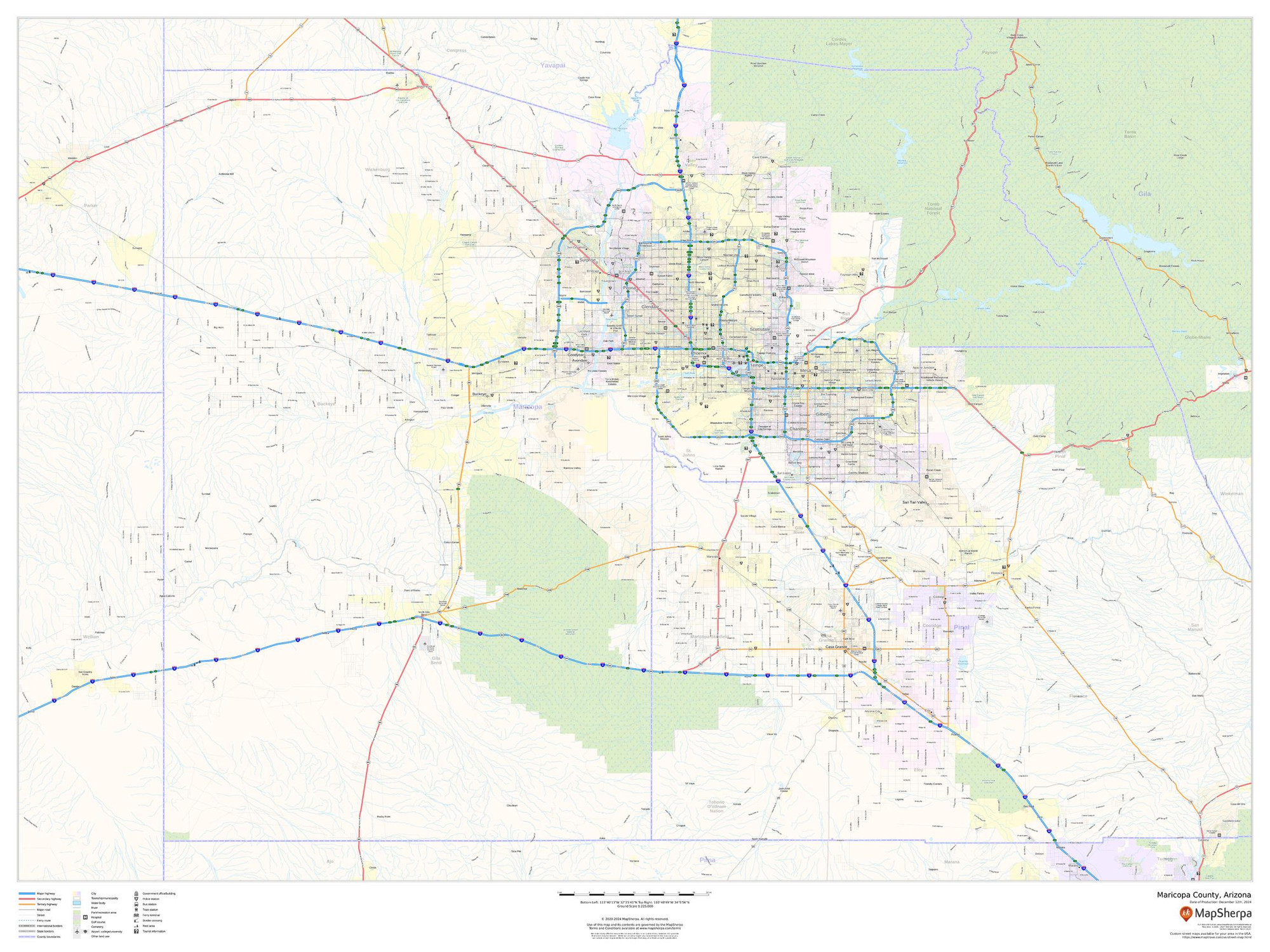
Maricopa County, Arizona Wall Map
Starting at $71.00 -
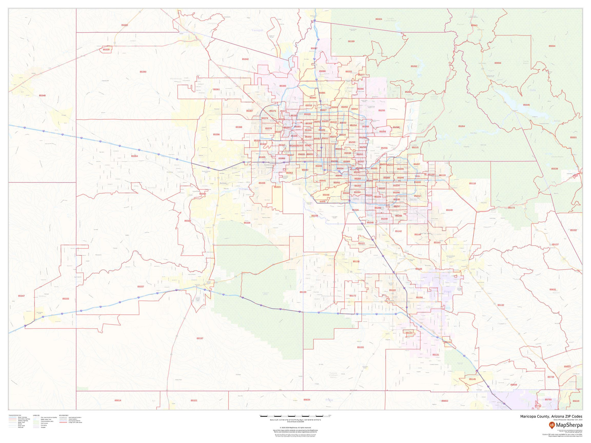
Maricopa County, Arizona ZIP Codes Wall Map
Starting at $73.00 -
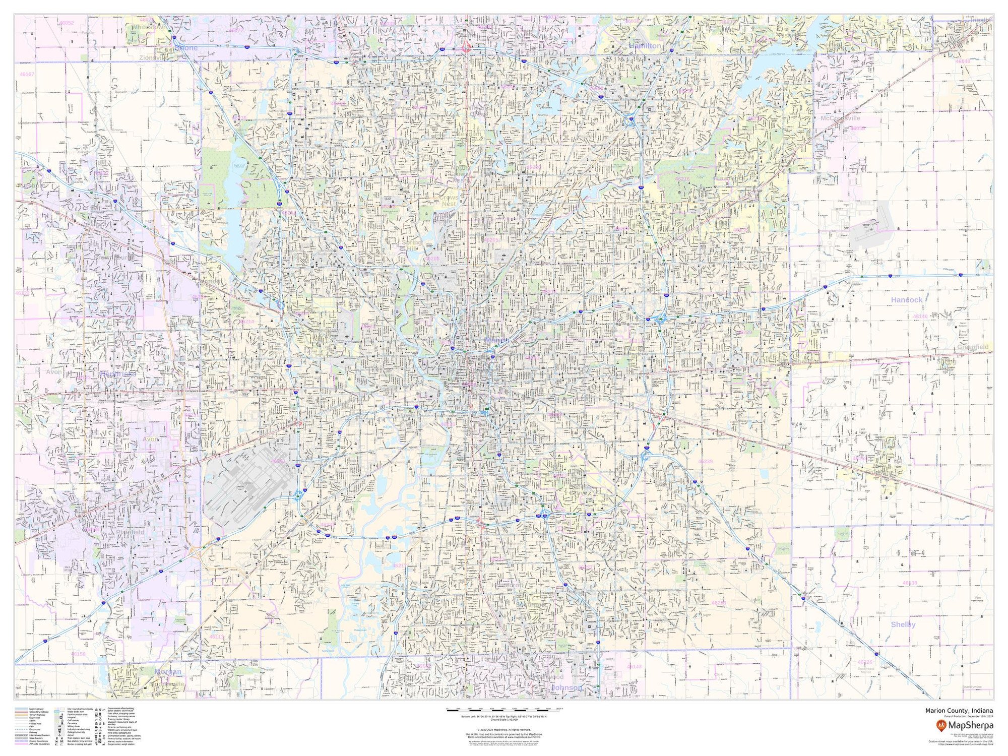
Marion County, Indiana Wall Map
Starting at $71.00 -
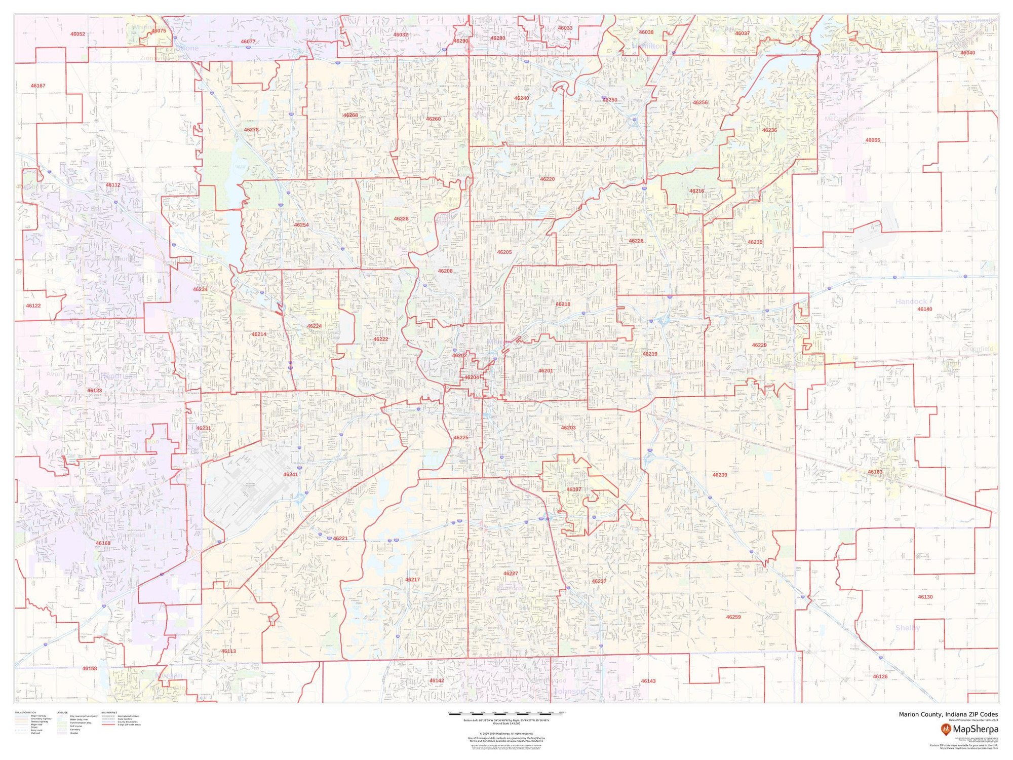
Marion County, Indiana ZIP Codes Wall Map
Starting at $73.00 -
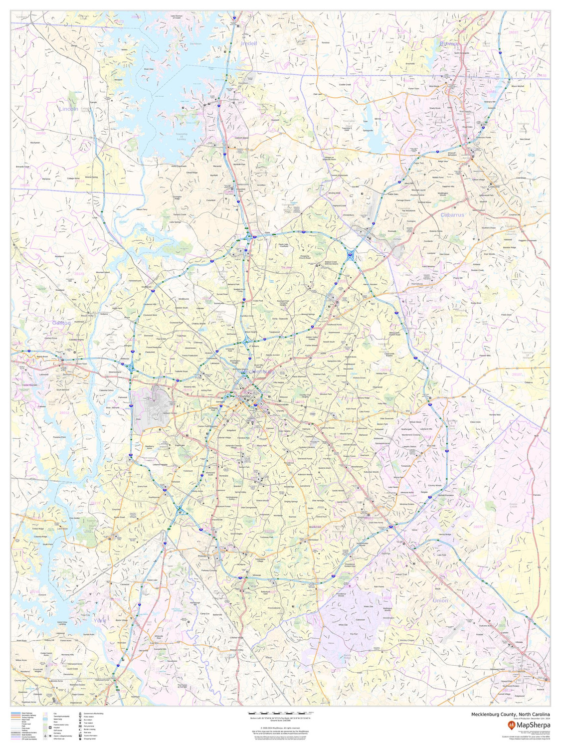
Mecklenburg County, North Carolina Wall Map
Starting at $71.00 -
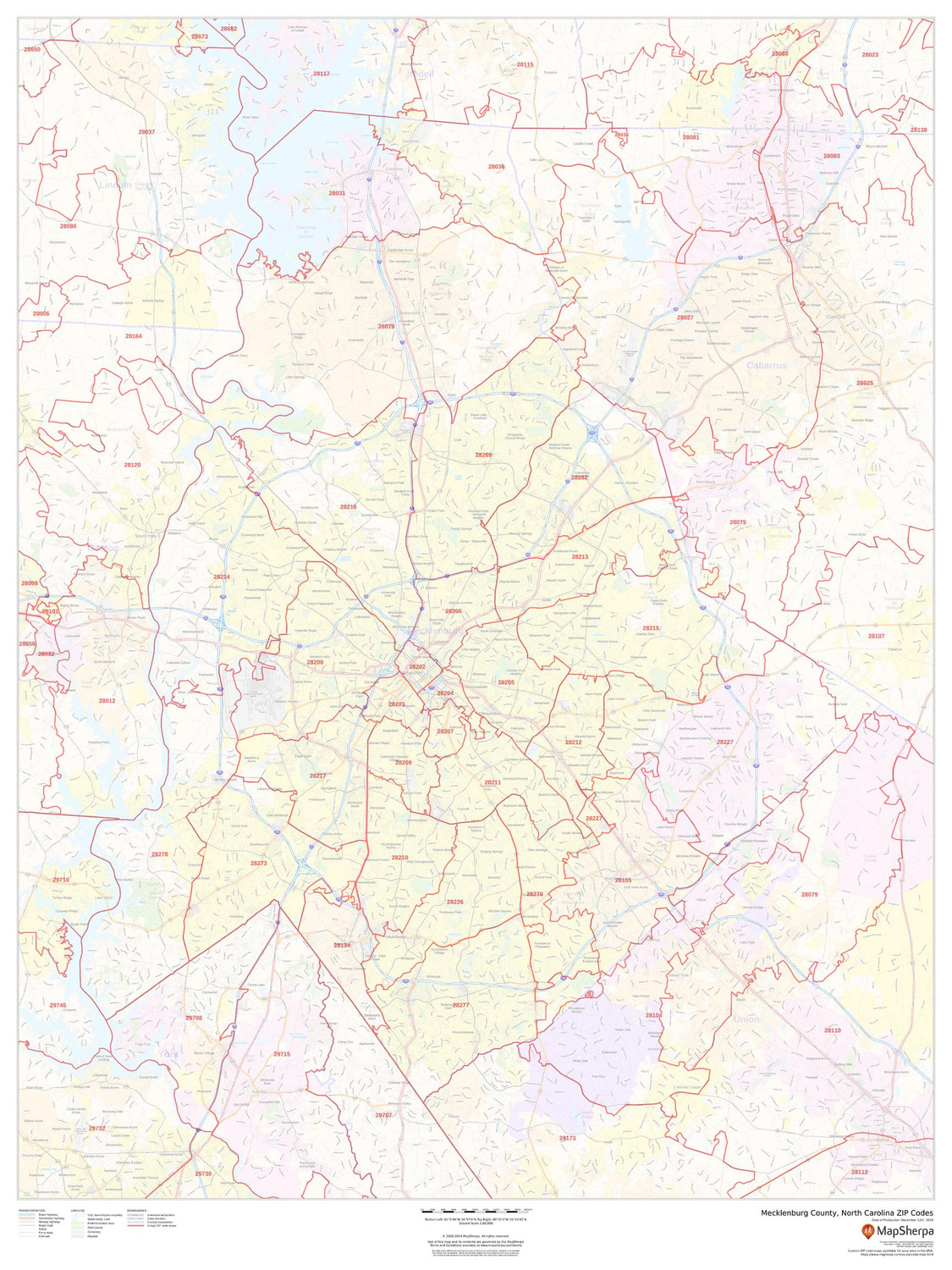
Mecklenburg County, North Carolina ZIP Codes Wall Map
Starting at $73.00 -
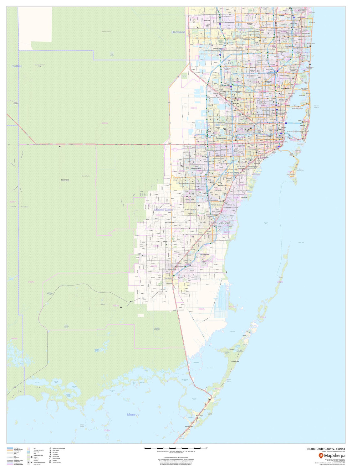
Miami-Dade County, Florida Wall Map
Starting at $71.00 -

Miami-Dade County, Florida ZIP Codes Wall Map
Starting at $73.00 -
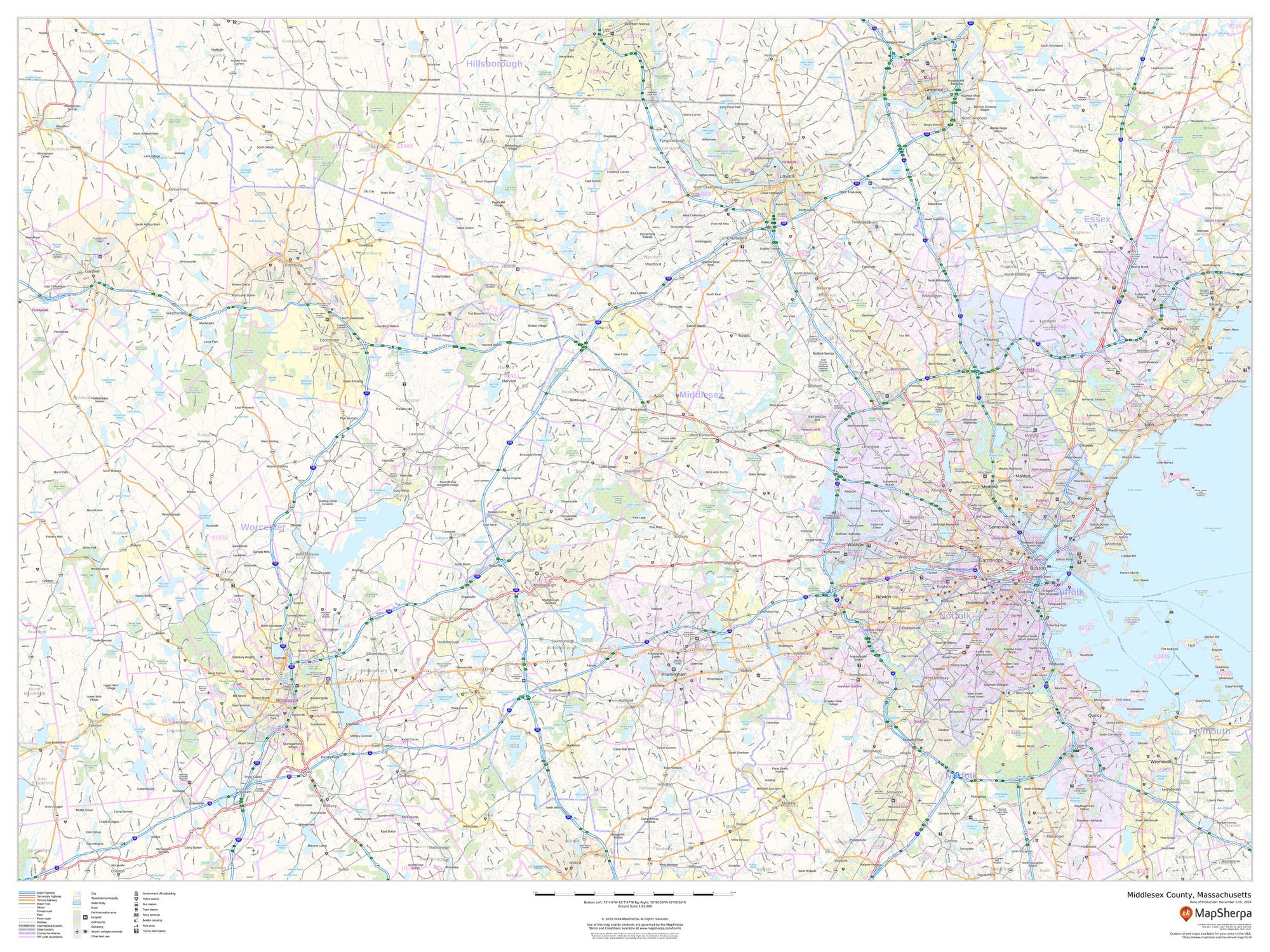
Middlesex County, Massachusetts Wall Map
Starting at $71.00 -

Middlesex County, Massachusetts ZIP Codes Wall Map
Starting at $73.00 -
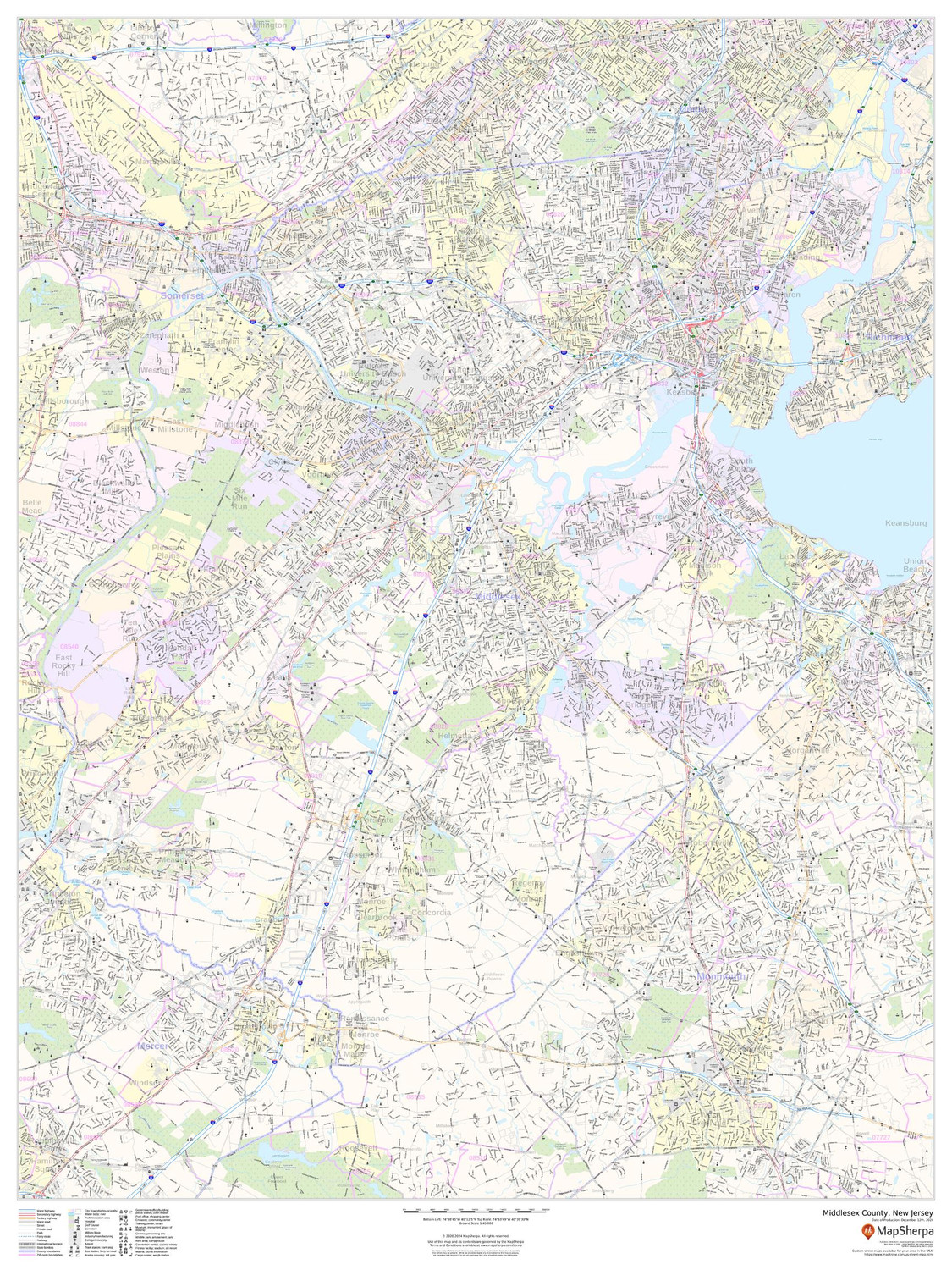
Middlesex County, New Jersey Wall Map
Starting at $71.00 -
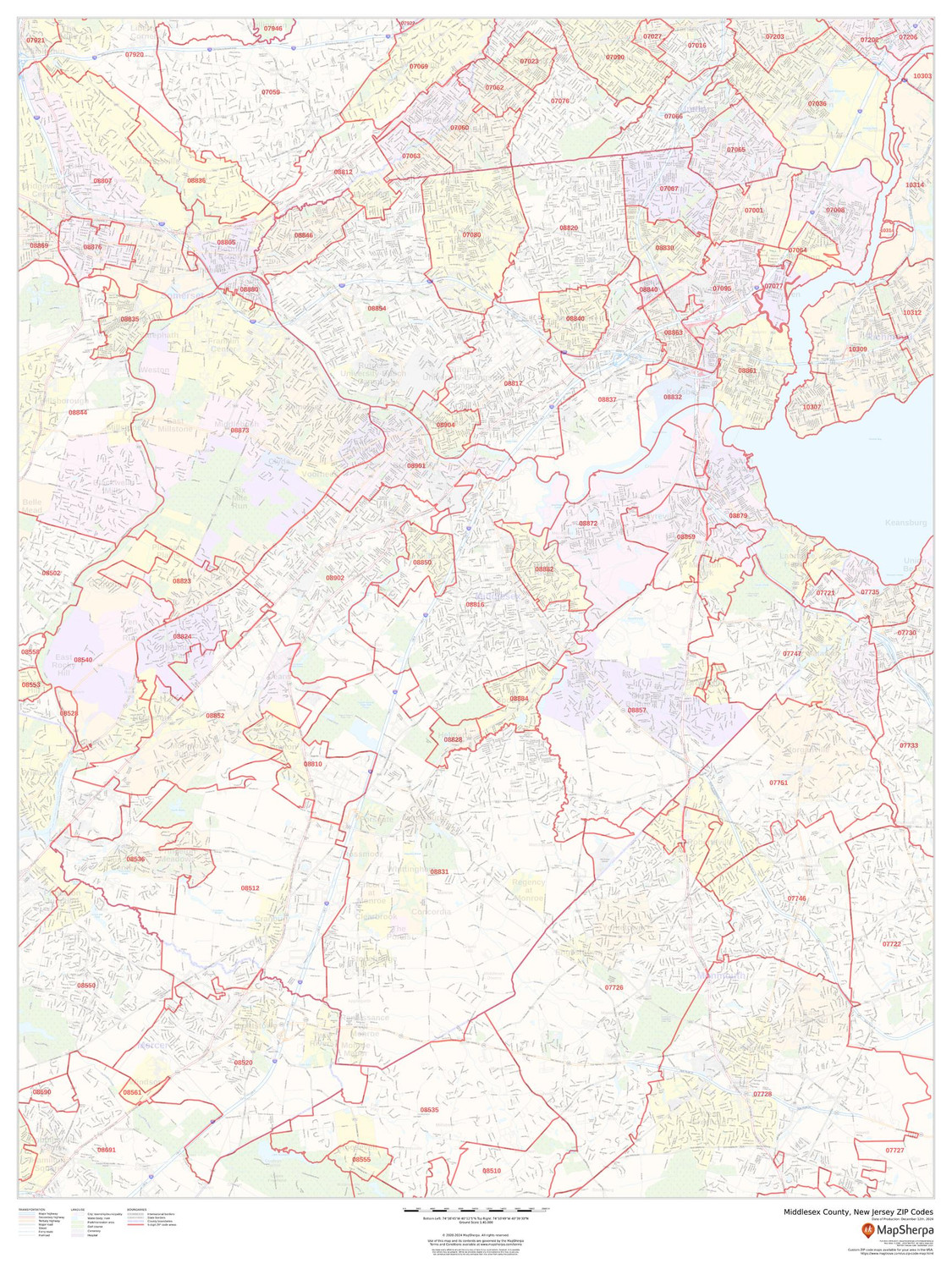
Middlesex County, New Jersey ZIP Codes Wall Map
Starting at $73.00 -
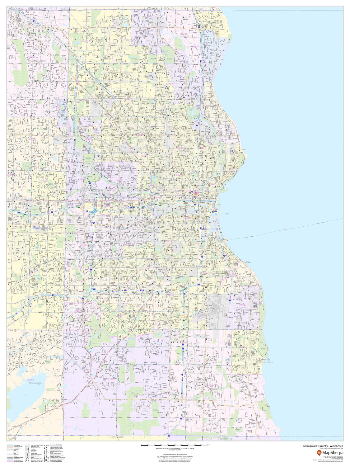
Milwaukee County, Wisconsin Wall Map
Starting at $71.00 -

Milwaukee County, Wisconsin ZIP Codes Wall Map
Starting at $73.00 -
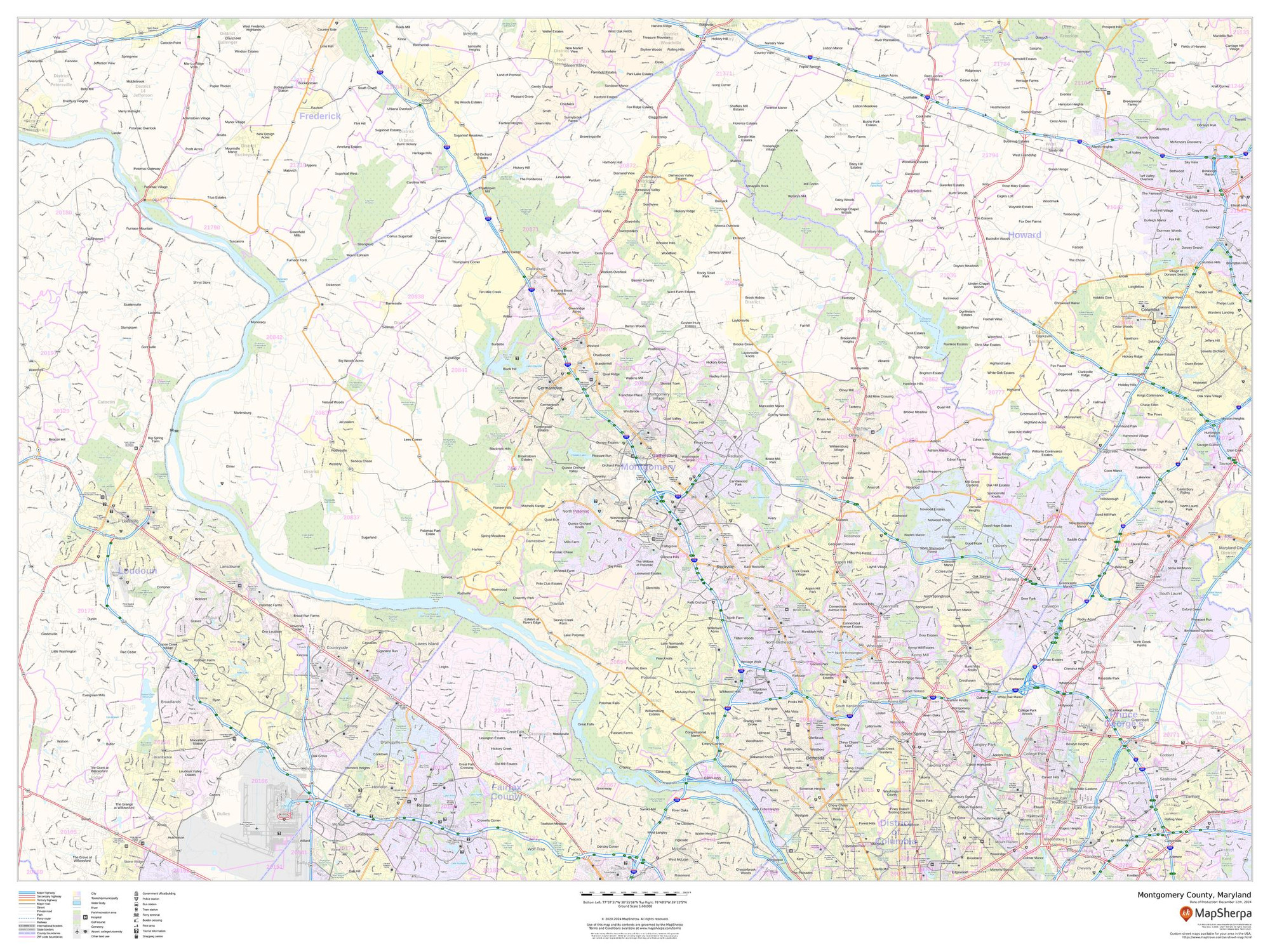
Montgomery County, Maryland Wall Map
Starting at $71.00 -
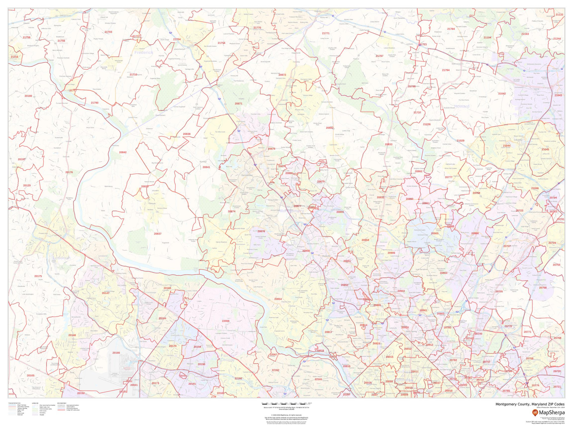
Montgomery County, Maryland ZIP Codes Wall Map
Starting at $73.00 -

Montgomery County, Pennsylvania Wall Map
Starting at $71.00 -
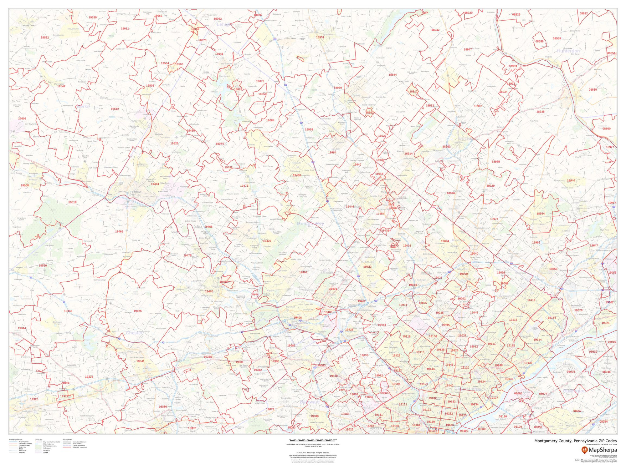
Montgomery County, Pennsylvania ZIP Codes Wall Map
Starting at $73.00 -

Nassau County, New York Wall Map
Starting at $71.00 -
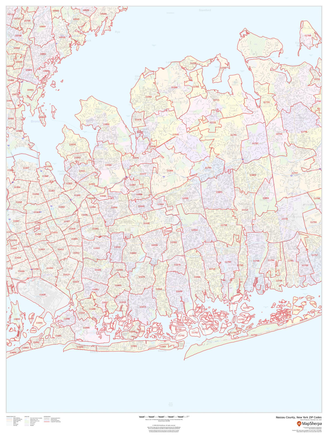
Nassau County, New York ZIP Codes Wall Map
Starting at $73.00 -
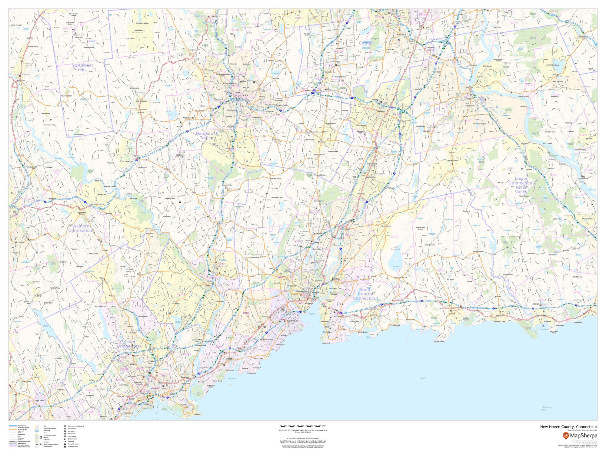
New Haven County, Connecticut Wall Map
Starting at $71.00 -
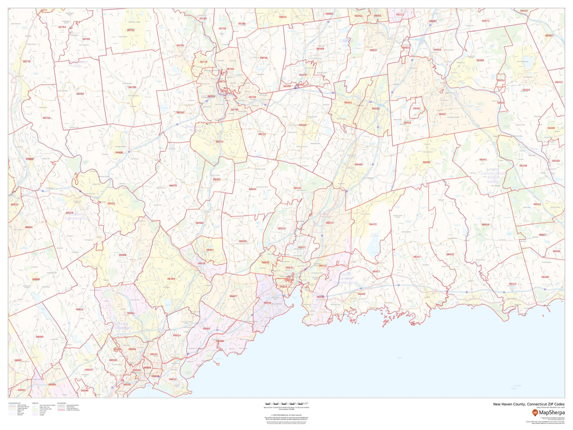
New Haven County, Connecticut ZIP Codes Wall Map
Starting at $73.00 -

New York County, New York Wall Map
Starting at $71.00 -
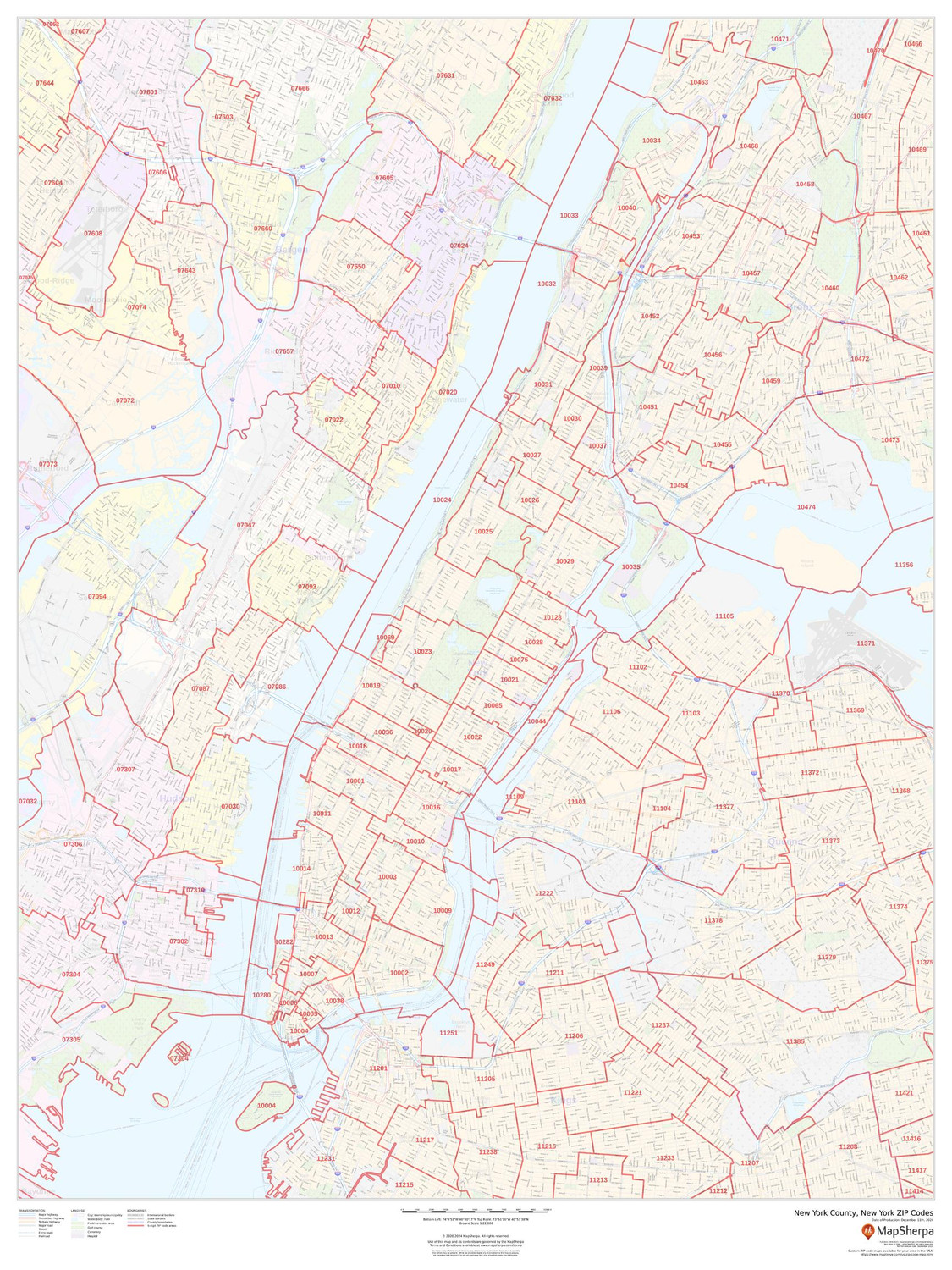
New York County, New York ZIP Codes Wall Map
Starting at $73.00 -

Oakland County, Michigan Wall Map
Starting at $71.00 -
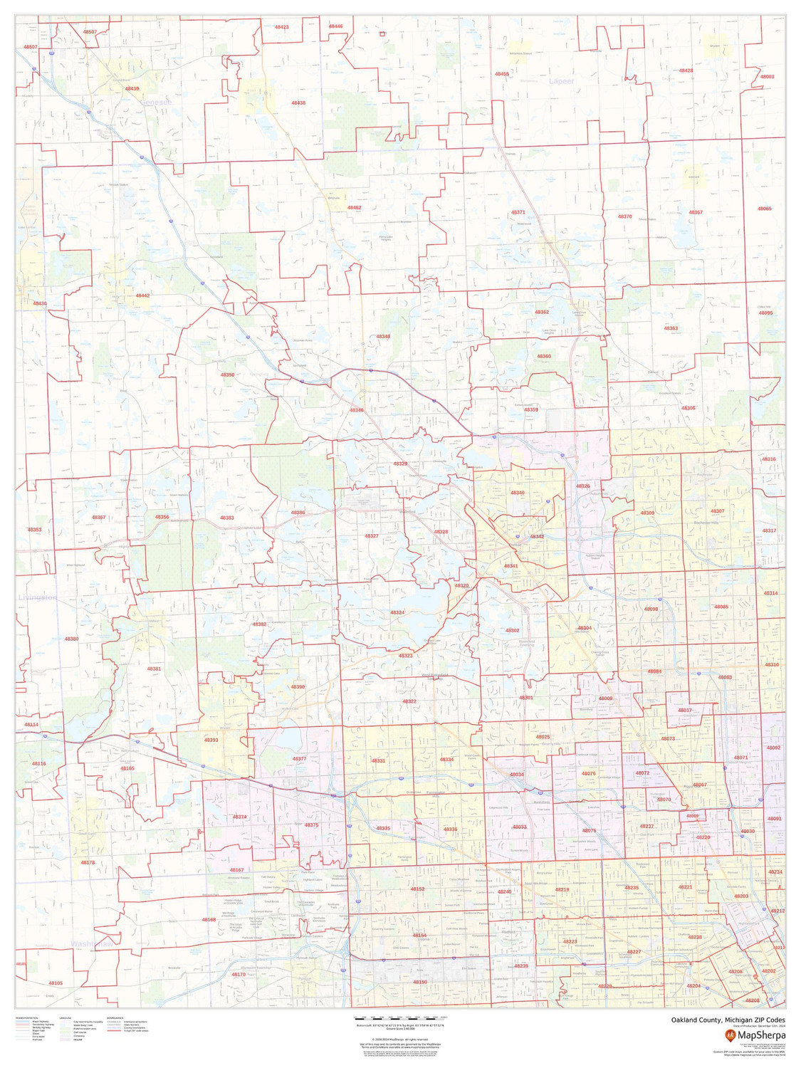
Oakland County, Michigan ZIP Codes Wall Map
Starting at $73.00 -

Orange County, California Wall Map
Starting at $71.00 -
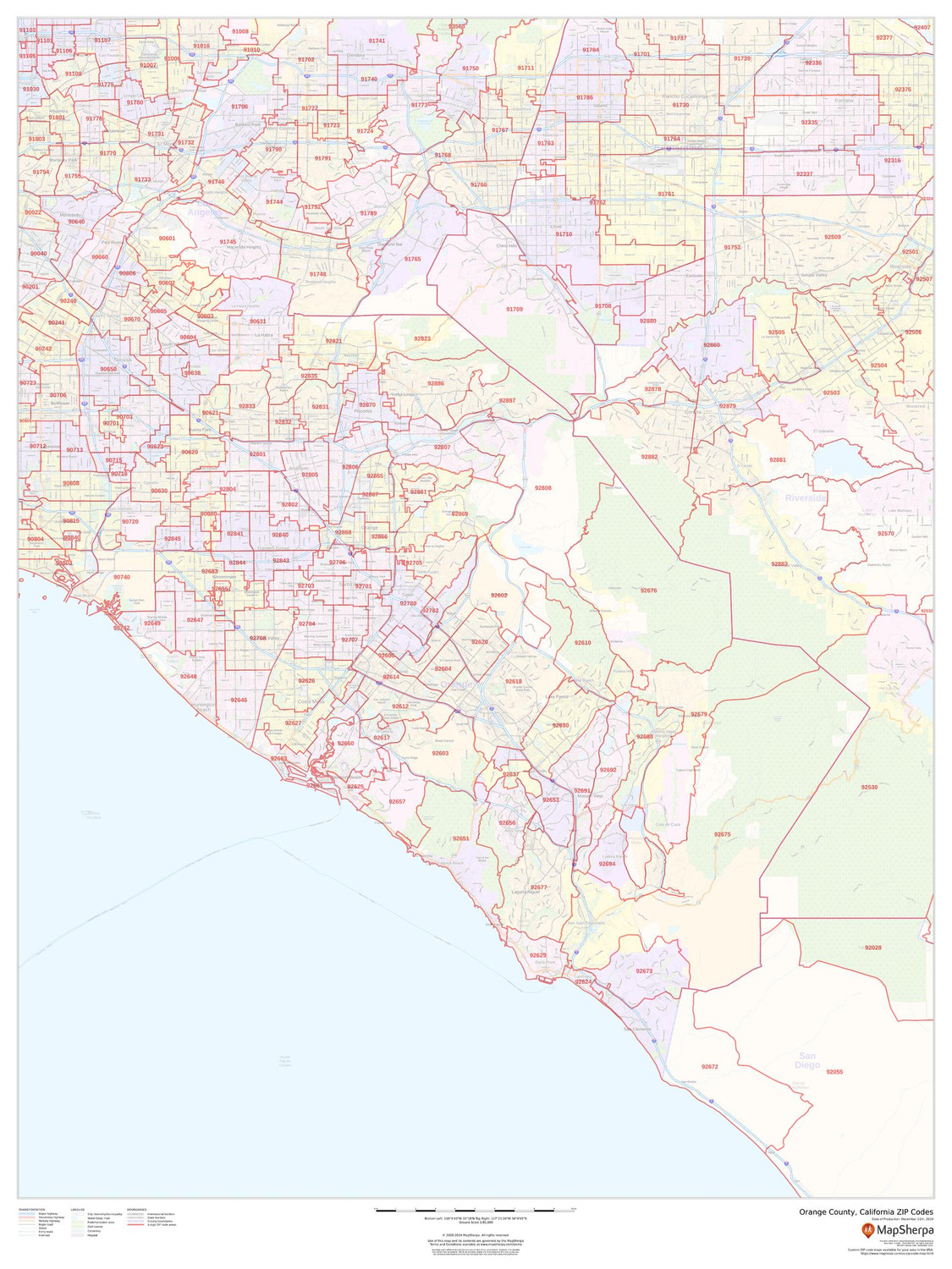
Orange County, California ZIP Codes Wall Map
Starting at $73.00 -

Orange County, Florida Wall Map
Starting at $71.00 -
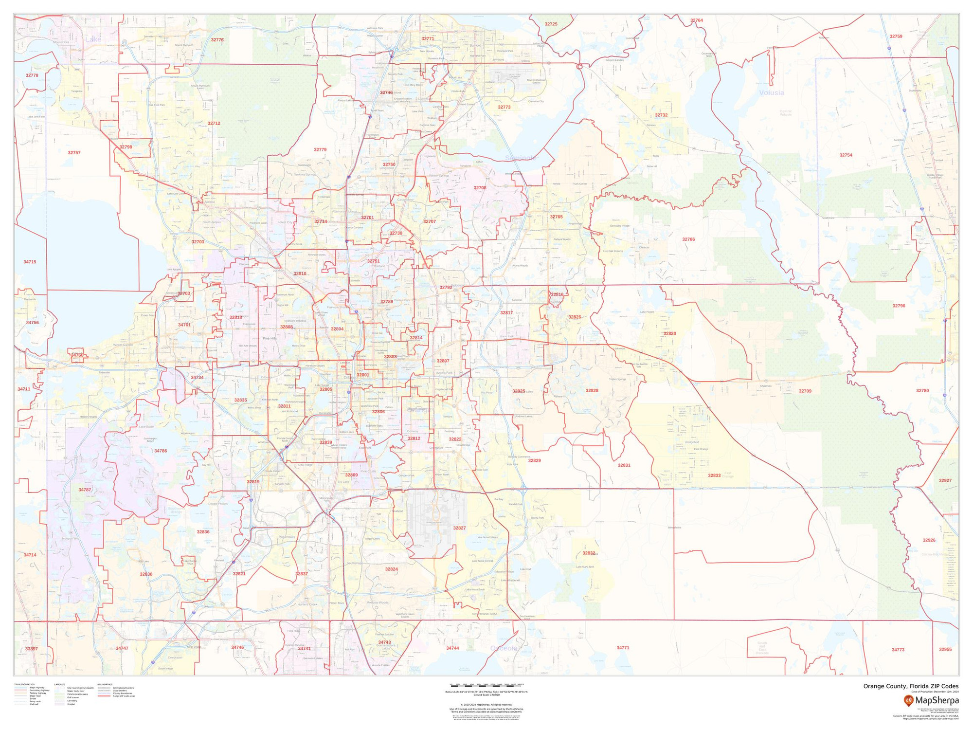
Orange County, Florida ZIP Codes Wall Map
Starting at $73.00
