Philadelphia was established in 1682 at the confluence of the Schuylkill and Delaware Rivers. Philadelphia was the national capital from 1790-1800.
Philadelphia grew rapidly with its port location and by 1857 it had become not only a busy trade center and port, but also was a major railroad hub.
Philadelphia was served by several railroads that all converged here. The West Chester & Philadelphia and North Pennsylvania Railroads were added in the early 1850's.
In the years leading up to the civil war Philadelphia suffered much unemployment and the community was up in arms about a new Sunday liquor ban.
During the winter of 1856, the Delaware River froze from bank to bank and Philadelphians were frantically working to keep the two rivers open. Tragedy struck the ferry boat New Jersey one night as it burst into flames on the icy river drowning dozens. Philadelphia installed a police and fire alarm telegraph system as a result of the disaster.
In the spring of 1856 a hurricane passed over Philadelphia, destroying the roofs of nearly 150 buildings. Later that year Smith, Sickel & Co. invented and introduced their street sweeping machine in Philadelphia.
Another harsh winter in 1857 delayed the opening of the Academy of Music for nearly a week. Philadelphia was buzzing over the new Republican political party amidst a huge financial panic in 1857.
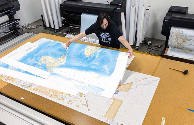
This street map of Philadelphia and vicinity was published in 1858 by S.K. Hoxsie. It shows the streets with the present railroads removed. The red lines show the proposed location of the different railroads entering the city, 1857-58.
Plan No. 2: Map "exhibits the streets with the present railroads removed. Passengers and freight to be delivered in the heart of the city by locomotive power. The red lines show the proposed location of the different railroads entering the city. This is to be done by bridging the River Schuylkill at Callowhill Street, and by tunneling said street to the River Delaware, with passenger depots at Broad street, and freight depots at the Delaware.
The changing the different lines of roads, building an iron bridge, with six tracks, over the Schuylkill, constructing a tunnel with three tracks to Broad Street, and two tracks from Broad Street to the Delaware, erecting a great central passenger depot at Broad Street, and a great central or union freight depot at the River Delaware, as well as exchange depots, engine houses, car shops, etc., at West Philadelphia, to be at the expense of the different railroad companies.
The city and property owners to widen Delaware Avenue to 100 feet from Richmond to League Island, by an extension of the wharves. The railroad companies to lay a double track on the avenue for commission men, shippers, merchants, flour mills, elevated warehouses for grain, etc.
The city and property owners, as above, to open Schuylkill Avenue on the Schuylkill River to a width of 100 feet, as shown on the plan, and the railroad companies to build a tressel work, twelve feet high, from the bridge at Callowhill Street to League Island, and lay three tracks for coal, iron, lumber, livestock, merchandise, etc., and for dropping the coal into the wholesale and retail yards, which are to be located on the Schuylkill, also supplying foundaries, rolling mills, shops, wharves or vessels.
It also exhibits the change of the Navy Yard, the Exchange, Custom House, court houses, post office, and the Philadelphia Market, Dock Street."