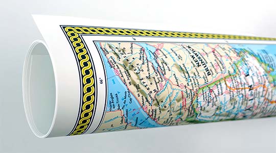
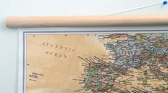
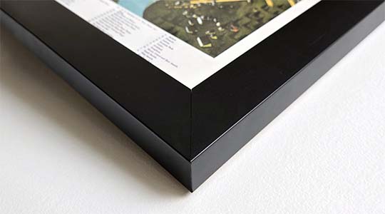
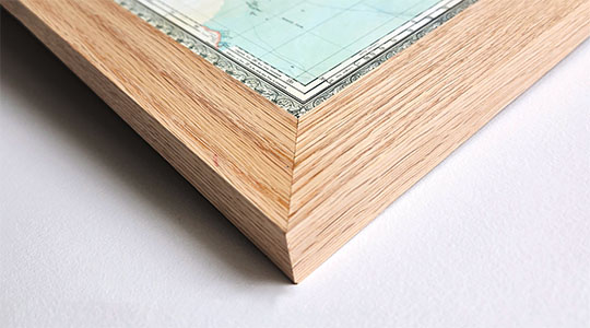
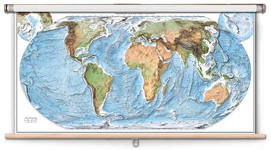
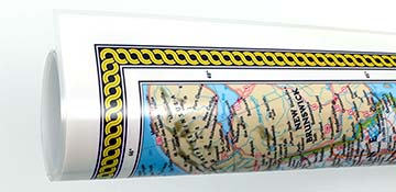
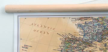
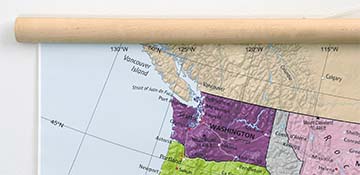
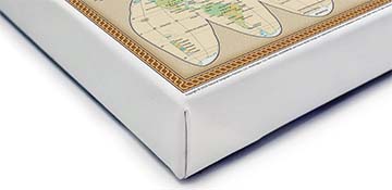
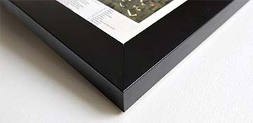
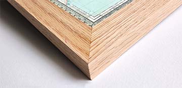
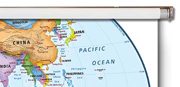
An excellent wall map for the classroom, this physical map of Venezuela features comprehensive content, making it ideal for teaching students in grades 6-12+. This classroom map is available in the following options: laminated print with grommets, printed on repositionable peel and stick fabric, mounted on wooden rails, or mounted on a pull-down spring roller. Spring roller maps are ready to hang on existing classroom map mounting hardware, or mounting hardware can be purchased separately.
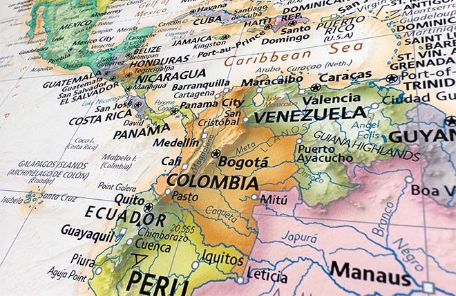
Venezuela is located on the northern coast of South America. The population of Venezuela is 31,775,371 based on 2016 estimates. The country's capital city and largest city is Caracas, with a population estimated 1,943,901 in 2011.
Venezuela Coordinates: 10°30′N 66°58′W (Caracas)
Total land area: 353,841 sq. miles.
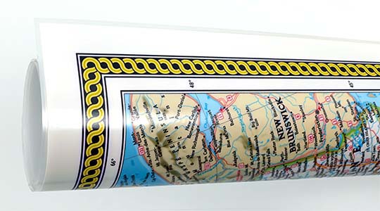
The Venezuela physical classroom map from Academia Maps features colorful shading which illustrates topography and natural features of Venezuela. Major cities, national capitals, rivers, lakes, main roads and mountain peaks are indicated on the map. Map is up-to-date with the latest international name changes. Map legend helps identify land elevation and sea depths in feet based on color shade of the area. Country borders are outlined with labeling of countries, national capitals, major cities, main roads and waterways. Physical features include mountain ranges, peaks, lakes, rivers, salt/dry lakes, and wetlands.
Key Features:
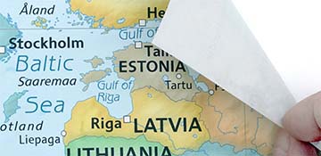
- Laminated with a markable washable surface.
- Multiple economical mounting options to fit your budget.
- Great for teaching Physical geography to grades 6-12+
- Bold easy to read text labels and colorful topographic shading.