USA Regional Maps
USA Regional Wall Maps offer a detailed and focused view of specific areas across the United States, highlighting state groupings, landmarks, and geographic features. Perfect for classrooms, offices, and homes, these maps provide clarity and precision for studying or showcasing individual regions. U.S. regional maps area available in a variety of styles and material options. Custom area USA regional maps that feature major highways, cities, landmarks, and terrain or topography can be created. Explore our collection to find the ideal regional map that enhances your understanding of America’s diverse landscapes and local details.
-
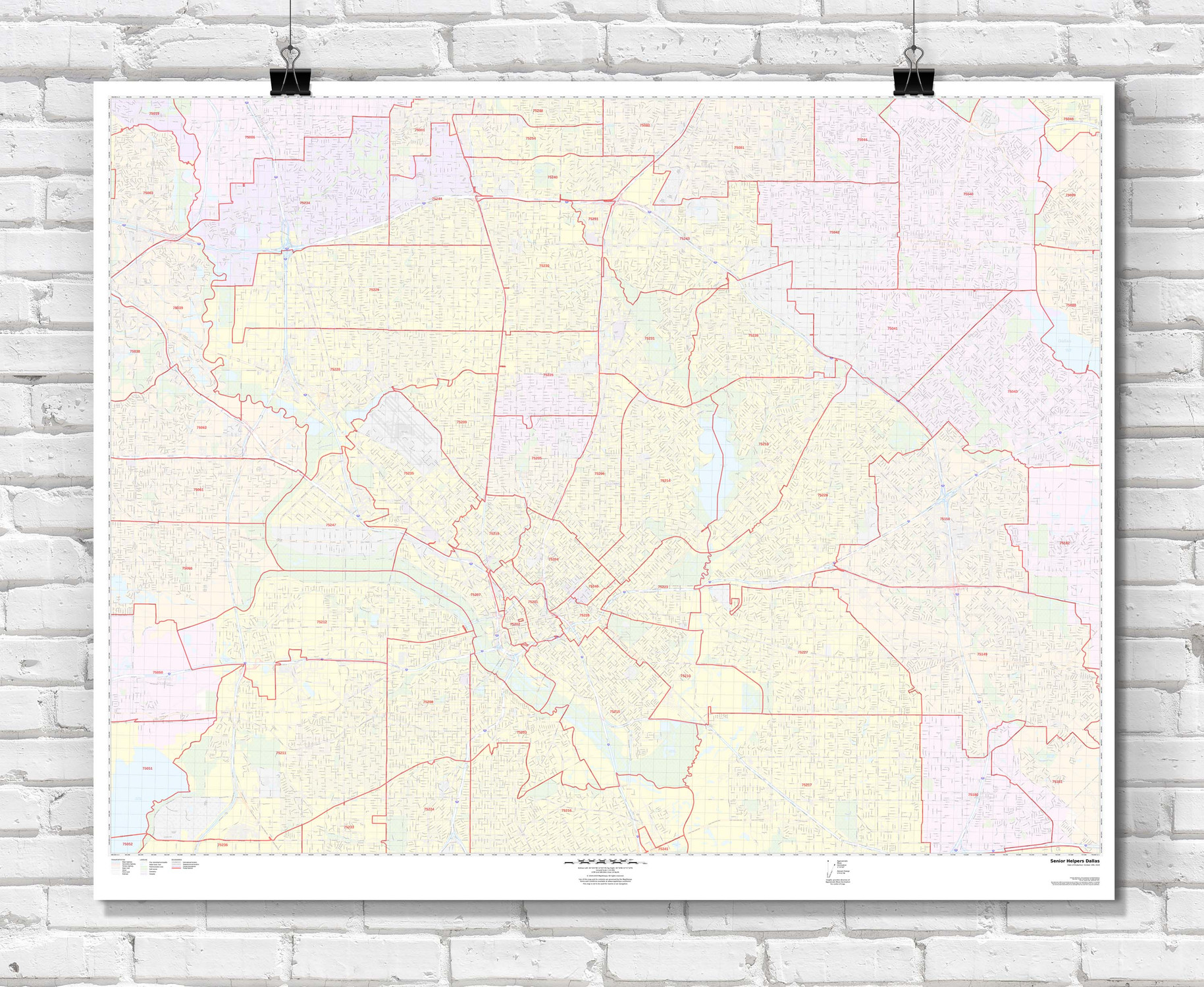
USA Custom Area Zip Code Wall Maps
Starting at $59.00 -

Lake Michigan Wall Map
Starting at $66.00 -

Southwestern United States Wall Map
Starting at $85.00 -

Southern Rocky Mountains Wall Map
Starting at $77.00 -

Southeastern United States Wall Map
Starting at $85.00 -
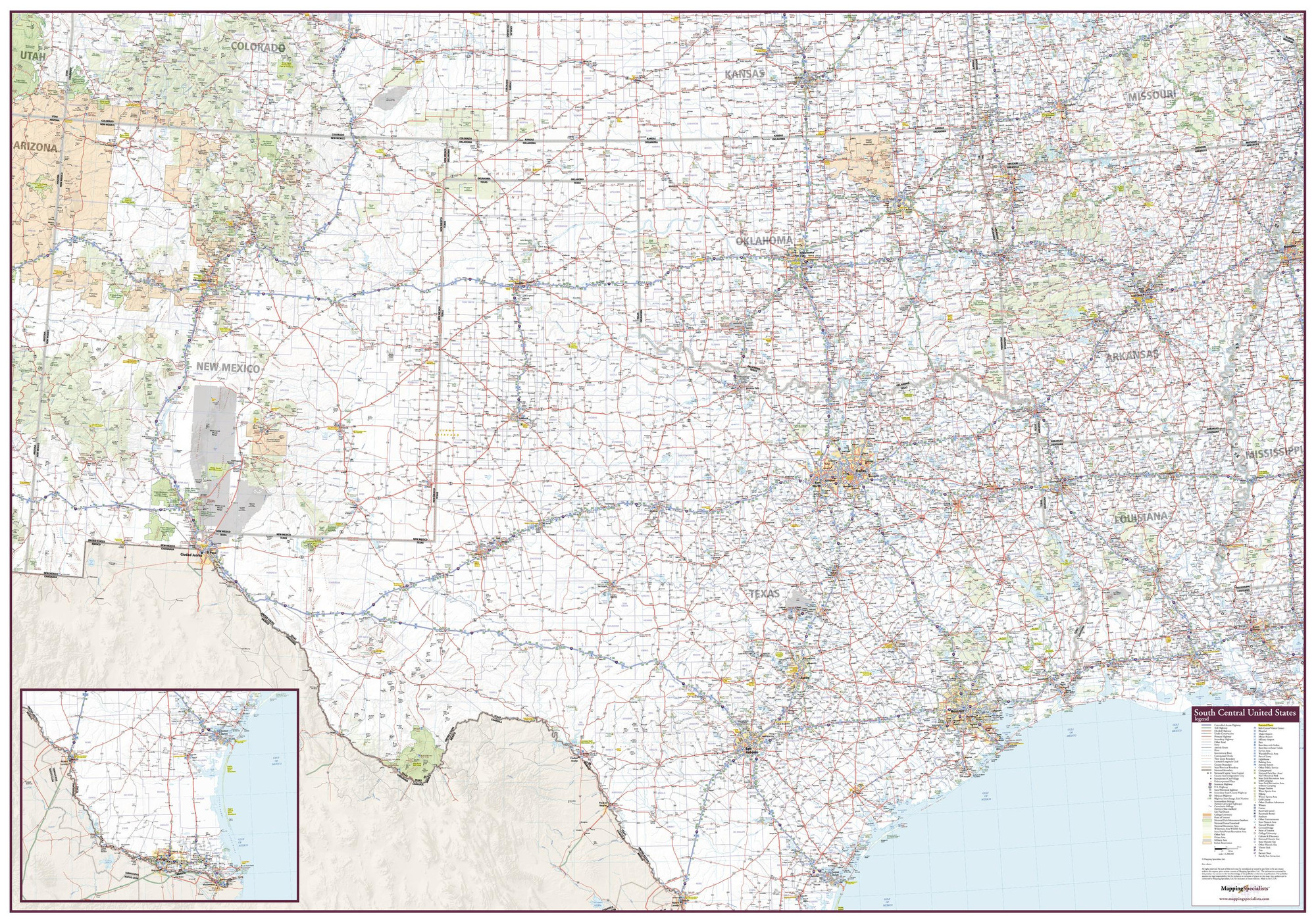
South Central United States Wall Map
Starting at $85.00 -

Northwestern United States Wall Map
Starting at $85.00 -

Northeastern United States Wall Map
Starting at $85.00 -
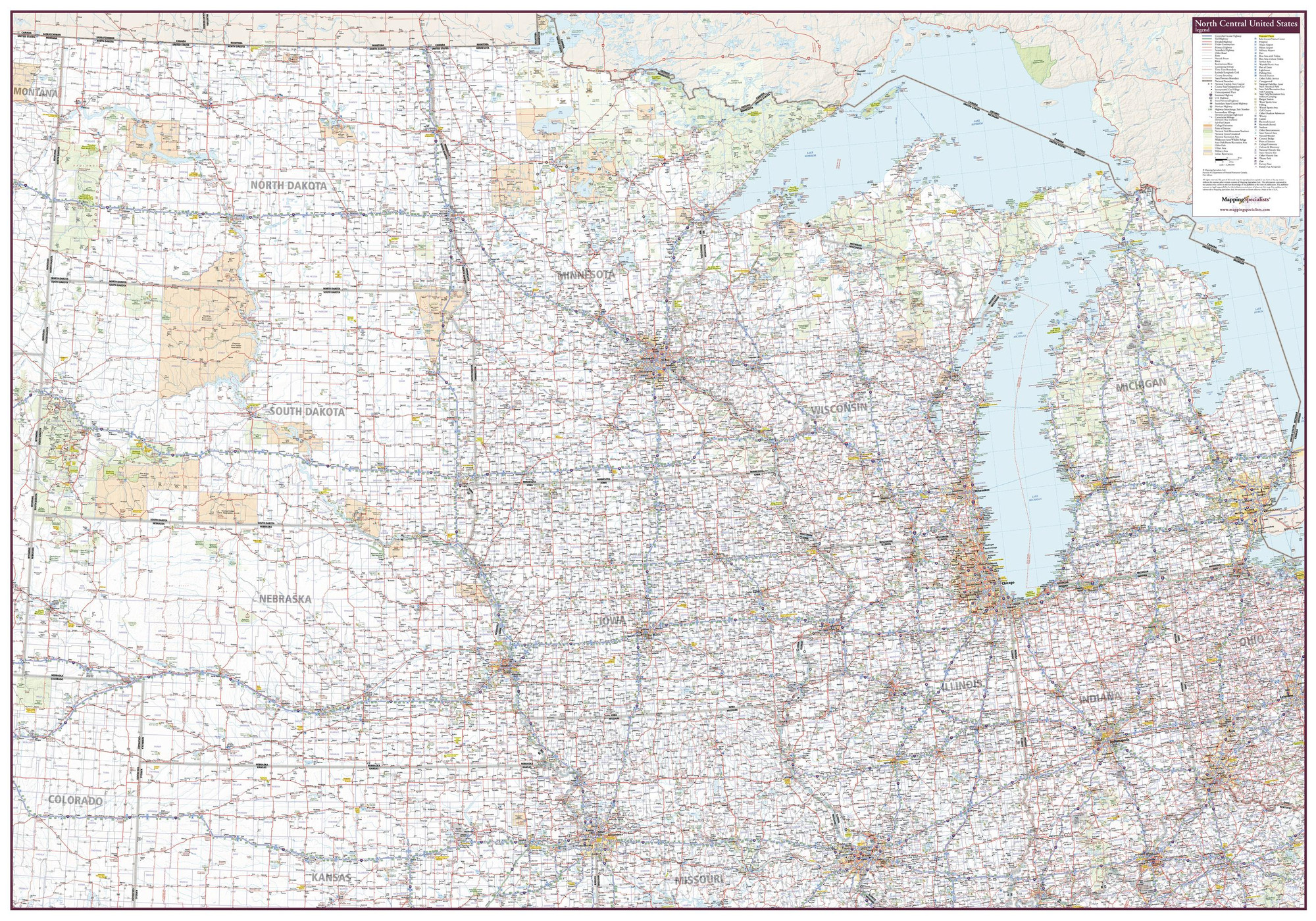
North Central United States Wall Map
Starting at $85.00 -

Middle Atlantic States Wall Map
Starting at $85.00 -

Canyonlands National Park & Vicinity Wall Map
Starting at $55.00 -
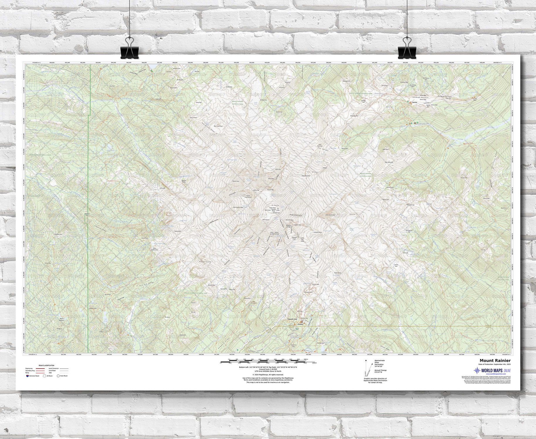
Custom Printed Topo Maps - Modern USGS Topographic
Starting at $54.00 -
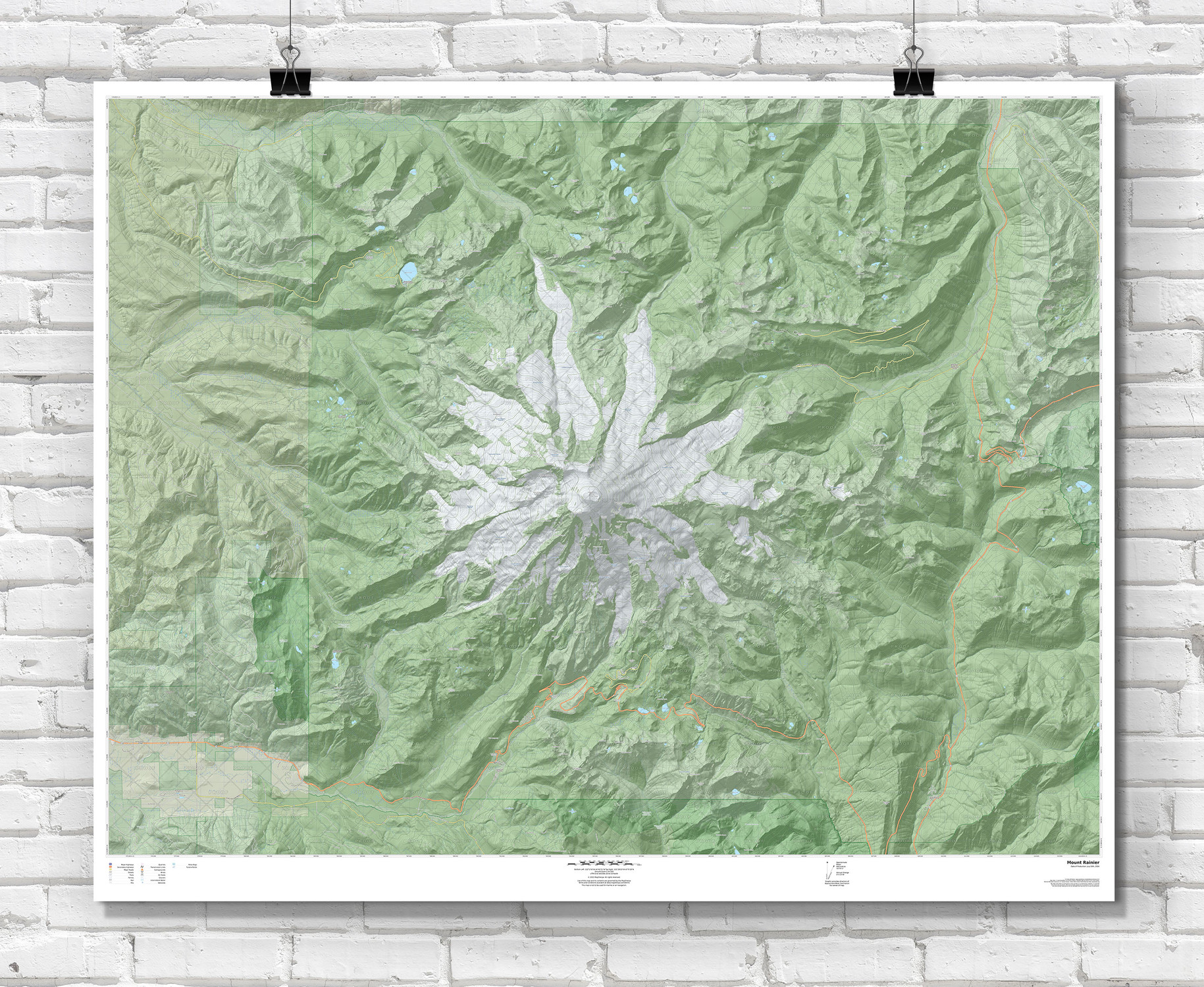
USA Terrain Custom Area Topographic Maps - Wall Map
Starting at $54.00 -
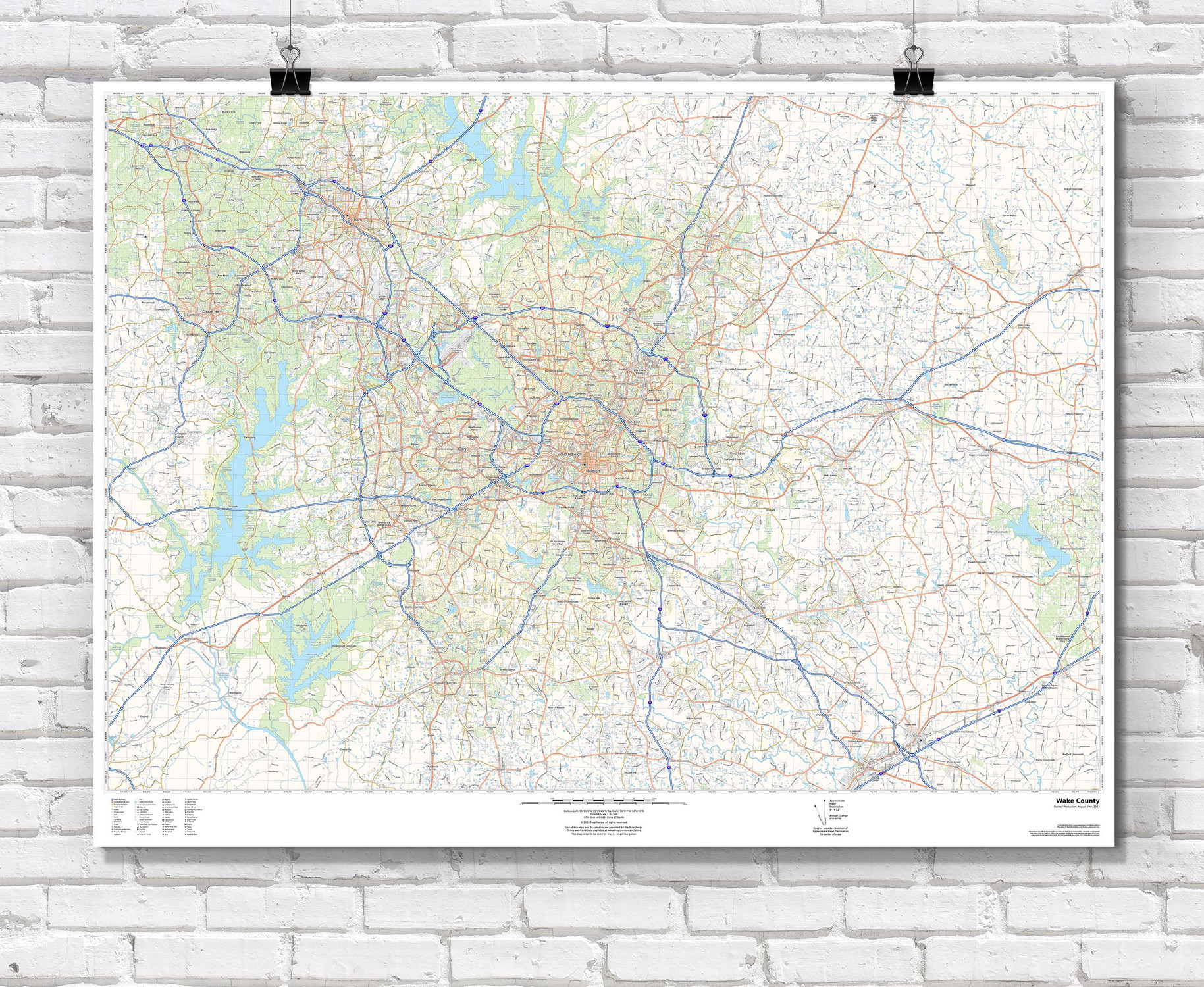
USA Roads and Recreation Custom Area Wall Map
Starting at $55.00 -

USA Streets Custom Radius and Area Wall Maps
Starting at $70.00 -
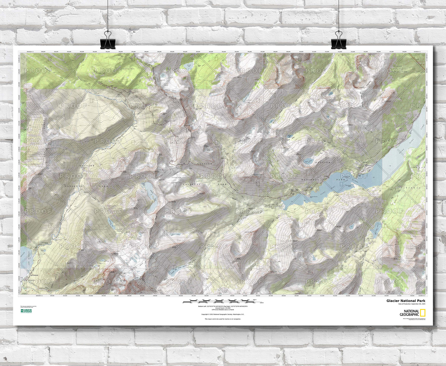
National Geographic Custom Topographic Map - Any U.S. Location (USGS)
Starting at $69.00 -

Custom US Road & Highway Wall Maps - USA Travelers Atlas
Starting at $69.00
