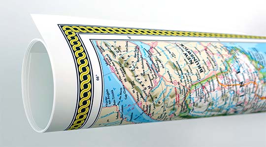
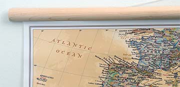
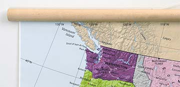
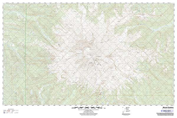
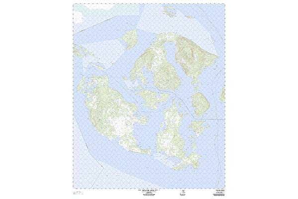
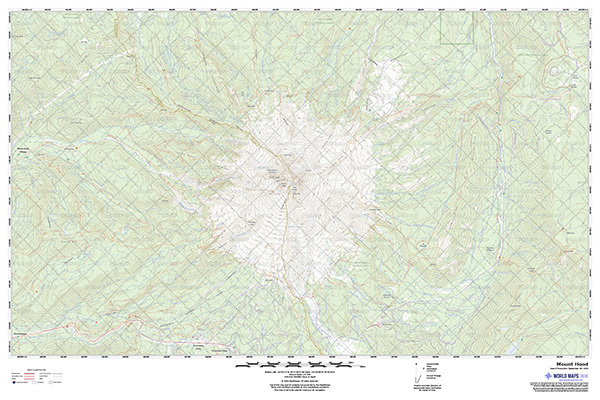
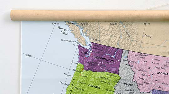
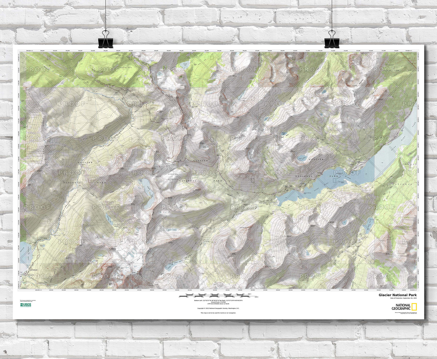
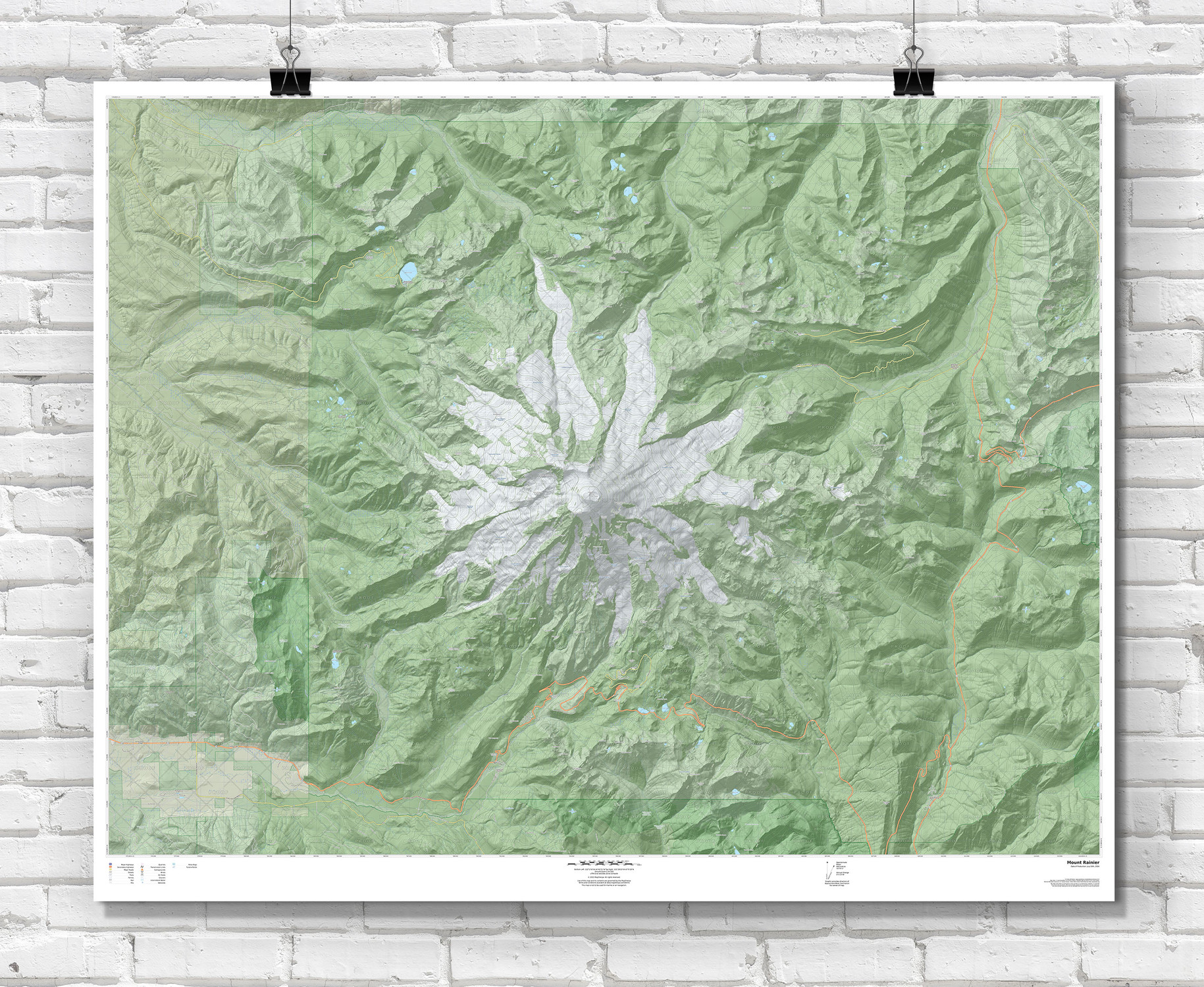
Choose any place in the United States—city block to backcountry—and we’ll craft a seamless, museum‑quality topographic map print from official USGS data.
Pin the exact spot that matters—your home, favorite trail, lake, mountain, or national park. We build a seamless topographic map from U.S. Geological Survey (USGS) sources (no visible tile boundaries), optimize it for clarity at your chosen scale, and print it with crisp contour lines, clean labeling, and rich terrain detail. The result is a striking terrain map poster that’s equal parts art and reference.
Map product features
- Any U.S. location — neighborhoods, shorelines, national & state parks, lakes, peaks, and more.
- Seamless USGS topo data — stitched cleanly across quadrangles to remove visible joins.
- Clean design — modern topographic maps with a minimalist legend and border keep focus on the terrain.
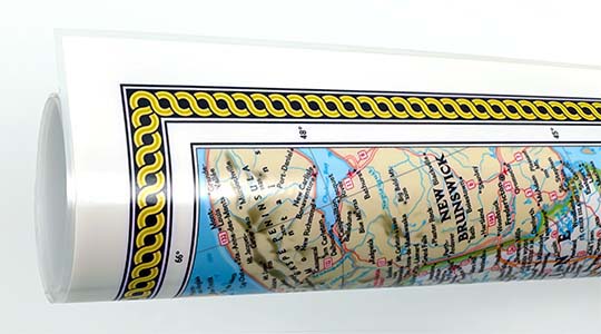
- High-quality paper and laminated finish
- Waterproof and tear-resistant (laminated print)
Whether you’re commemorating a summit, outfitting a cabin, or gifting an avid hiker, this custom topo map turns your location into a timeless, data‑driven centerpiece.
Features on the maps
- Crisp elevation contours — legible linework representing topography with elevations labeled in feet
- Hiking trails, camping locations, points of interest
- Mountain peaks, rivers, lakes, and creeks
- Interstate & state highways, local roads
