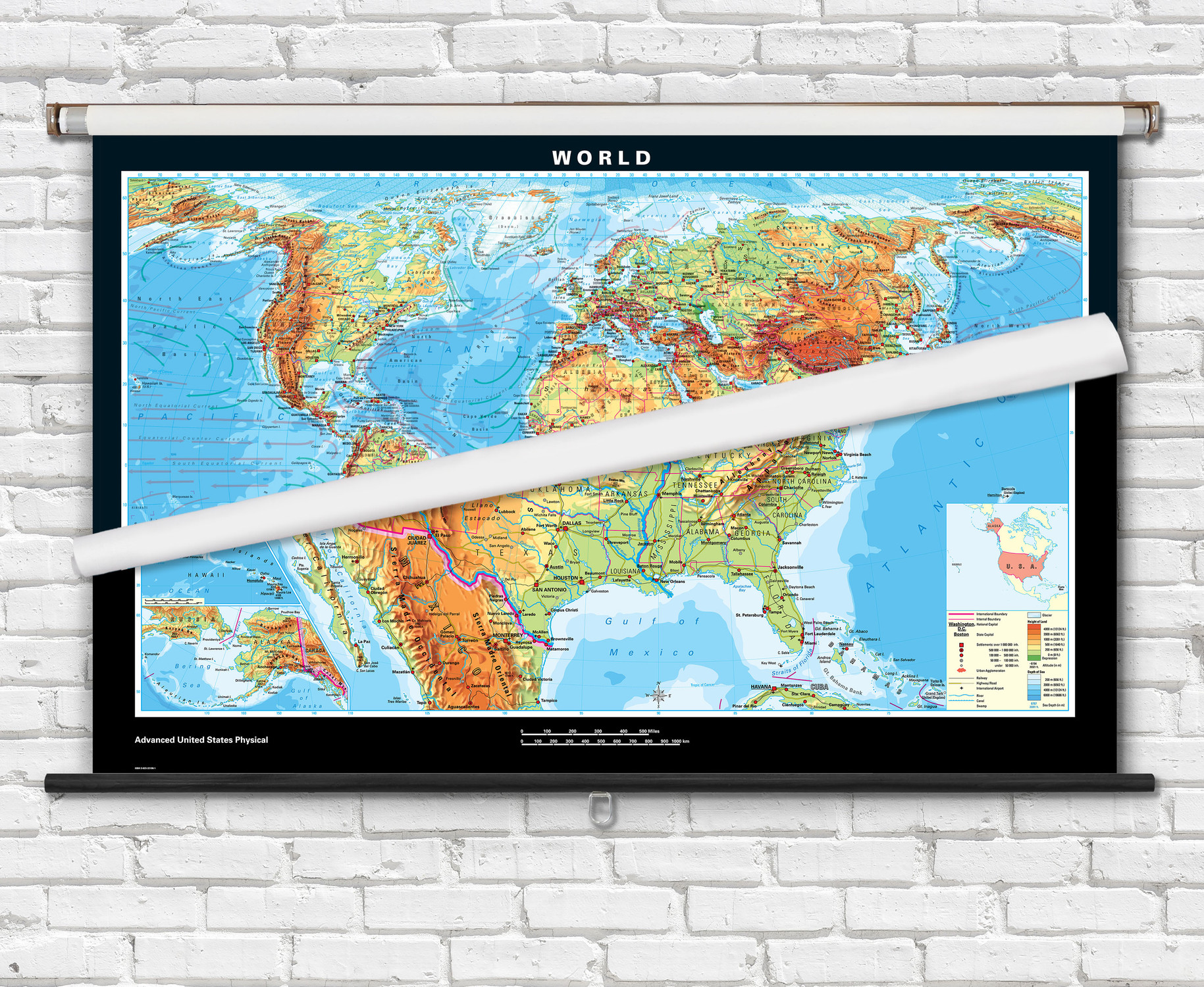
Intermediate U.S. & World Physical Pull-Down Spring Roller Map Set
Description
This combination set includes both a U.S. and World physical topographic maps mounted onto a single spring roller assembly. Academia intermediate educational maps feature comprehensive content making them ideal for teaching grades 6-12+. This classroom wall map is laminated and can be marked on with a dry or wet erase marker.
You can add a physical map of your state to create a United States, World, and State map spring roller combo set. View all of our Academia state physical maps
Spring roller maps are ready to hang on existing classroom map mounting hardware, or mounting hardware can be purchased separately.
The Academia Intermediate World and U.S. physical classroom maps illustrates topography using colorful bands of shading. Shaded relief detail provides a visually stunning view of mountain ranges and terrain across the United States and World. Relief shading data for the U.S. is derived from USGS Global Multi-resolution Terrain Elevation Data 2010 (GMTED2010, World relief data is based on SRTM (Shuttle Radar Topography Mission) data collected by NASA. Map legend helps identify land elevation based on color shade of the area.
World map includes major cities, national capitals, rivers, lakes, mountain peaks, dry salt lakes, glaciers, latitude/longitude lines, coral reef and ocean bathymetry. Political boundaries are clearly visible in bold red outlines, including U.S. states and Canadian provinces. Miller Projection is used for the map. Map is politically up-to-date with the latest international name changes.
United States map displays major cities, capitals, rivers, lakes, mountain ranges and peaks. State boundaries are outlined in red.
Key Features:
- Laminated with a markable washable surface.
- Great for teaching physical geography to grades 6-12+
- Bold easy to read text labels.
- Colorful map legend helps identify map features.
- USA Map Insets: Physical Regions of the U.S., Political Regions of the U.S., and Geographic Locater of U.S.
- Spring Roller Mounting - 2-Sheet - Combo - The laminated maps are mounted to a heavy-duty pull-down classroom spring roller w/ metal backboard rail for hanging from hooks or wall brackets
Ships rolled in a durable cardboard tube.
This popular educational map set is also offered as an economical wall map combo for home or classroom use. Click to see the Intermediate U.S. & World Physical Classroom Wall Map Poster Set.

Made In The USA

School Purchase Orders


